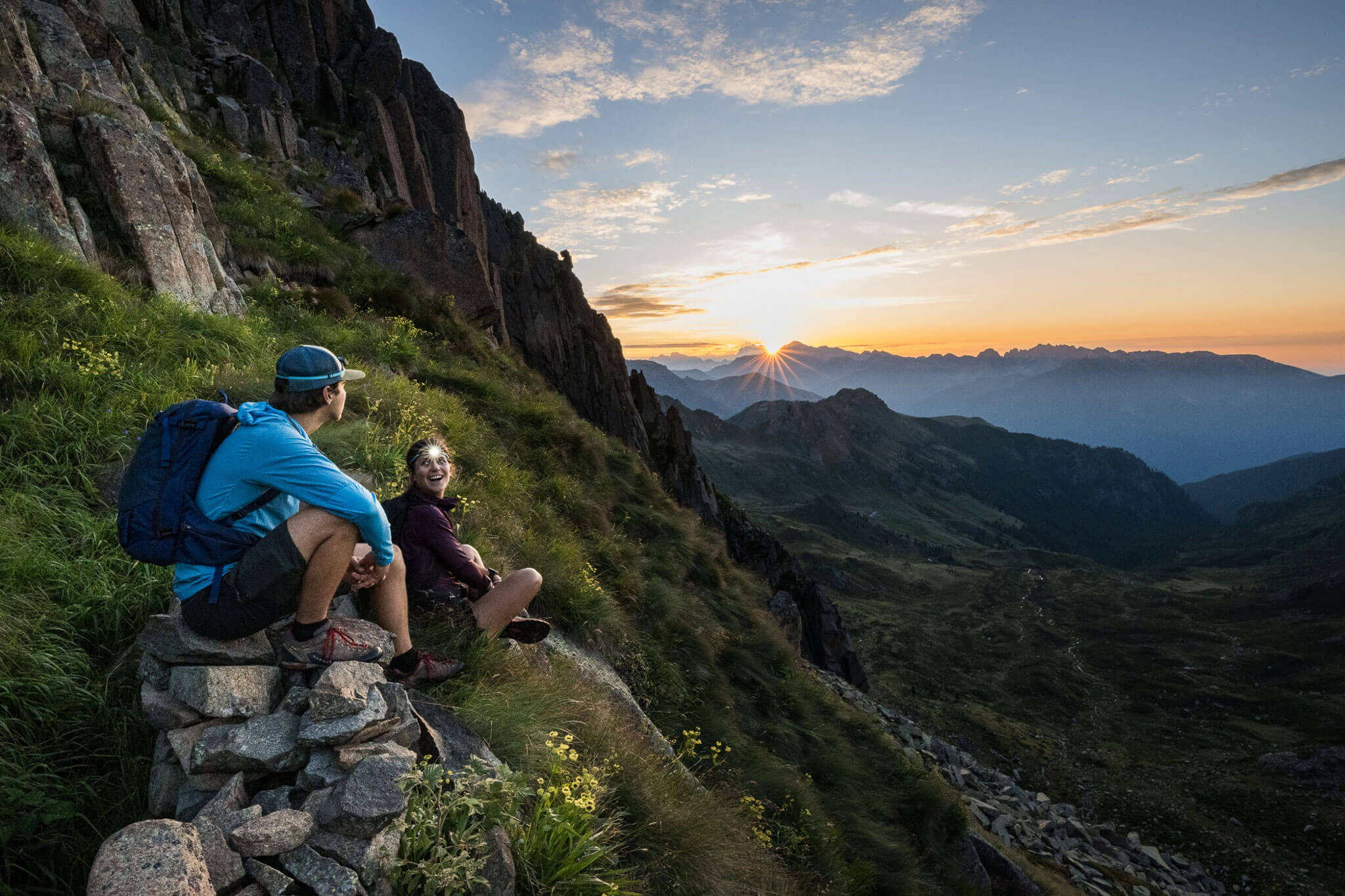
The most alpine E5 stage in Italy: narrow trails, scree and long traverses through the rugged mountain world of the Sarntal Alps – wild, quiet and demanding all the way to Meran 2000/Merano 2000.
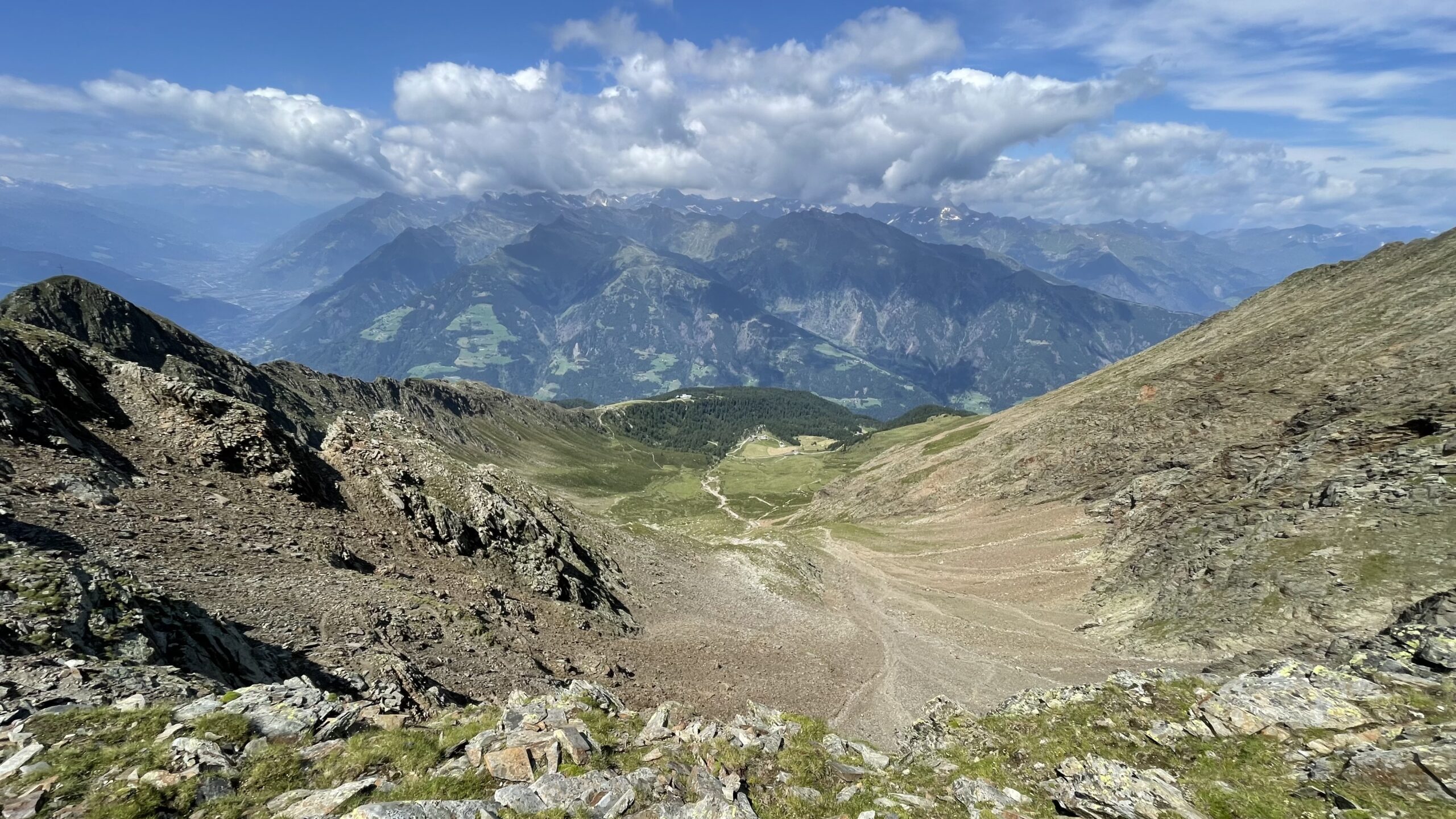
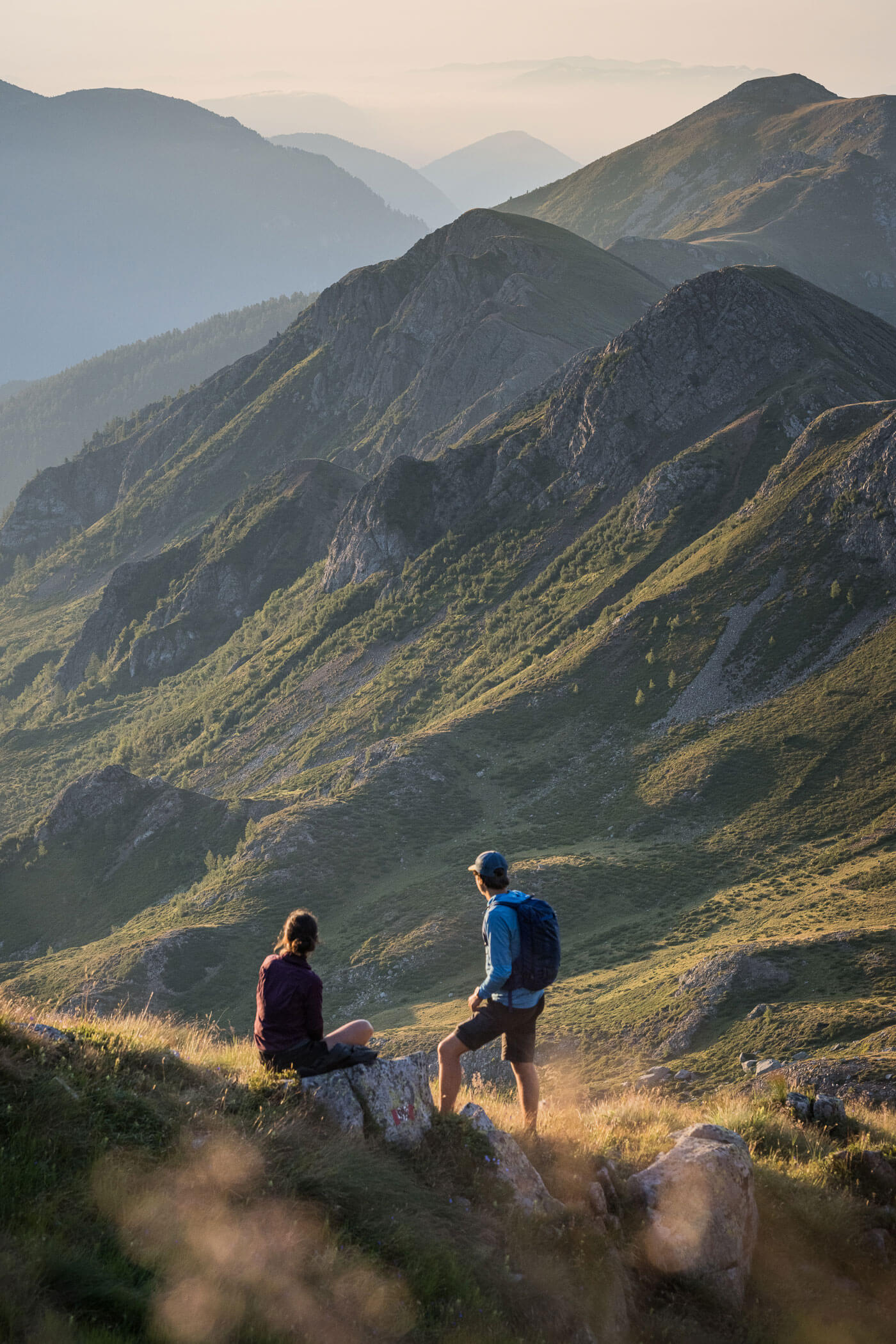
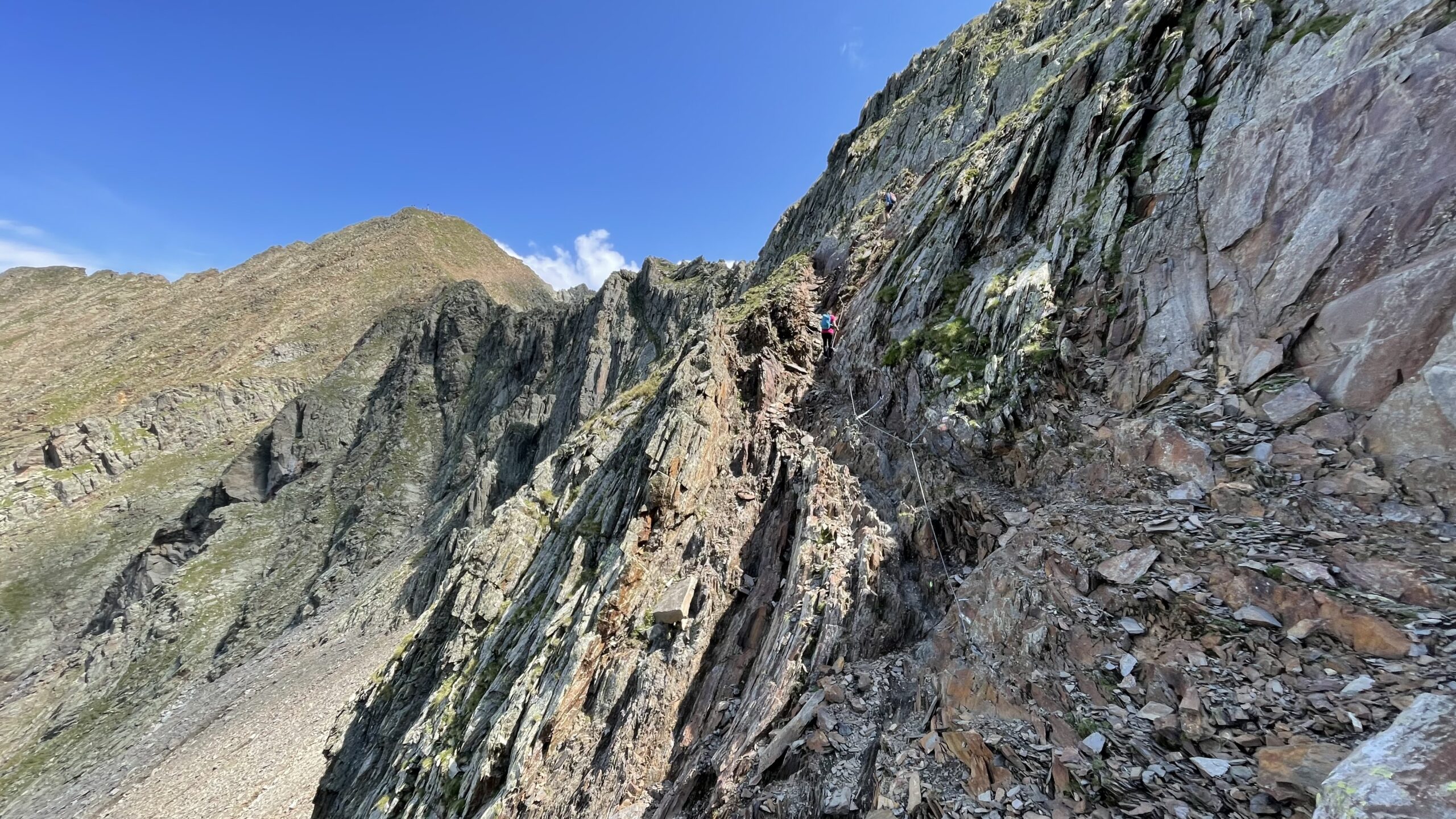
From Hirzerhütte/Rifugio Hirzer to Meran 2000/Merano 2000, the E5 once again shows true alpine seriousness. The gentle alpine pastures around Hirzer are quickly left behind, and the terrain – especially around the 2,698 m Hirzerscharte/Giogo Piatto – becomes rougher, rockier and significantly more high alpine. Over narrow trails, stony traverses and exposed sections, the route leads across the Hirzerscharte/Giogo Piatto and along the subsequent Gebirgsjägersteig through the silent mountain world of the Sarntal Alps. Far below lies the Passeier Valley, while rugged peaks and barren slopes define the character of this stage.
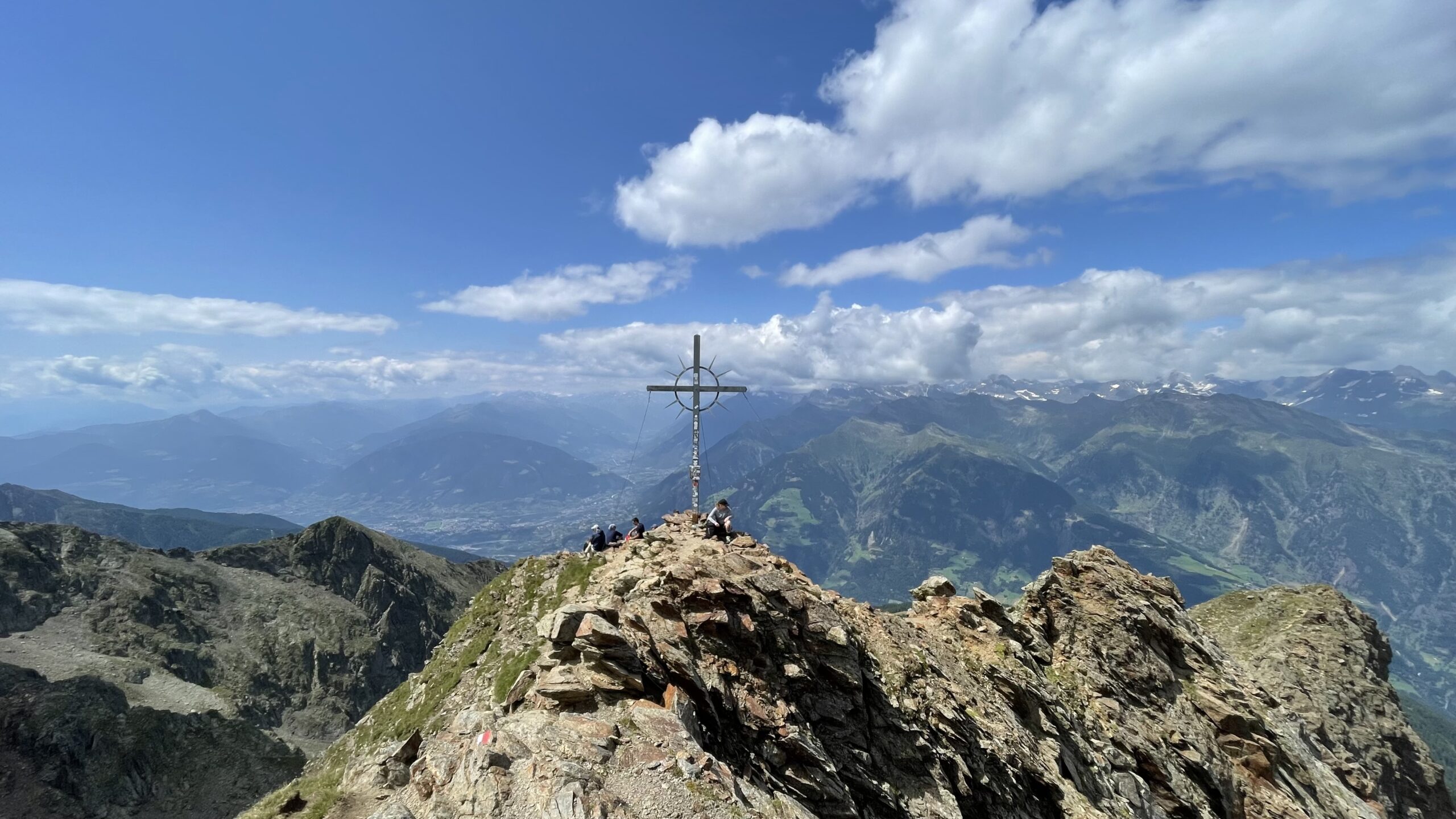
From the Hirzerscharte/Giogo Piatto , there is also an option to detour to the Hirzer/Punta Cervina summit – on a clear day a worthwhile ascent with a 360-degree panoramic view of the surrounding peaks.
This is the most alpine stage of the E5 in Italy and, overall, one of the most alpine stages of the entire route. Sections classified as black mountain trails (T4) demand surefootedness, concentration and stable conditions. Long traverses, scree fields and the barren expanse at high altitude make this section feel more remote and wilder than many previous stages. At the same time, this is precisely its appeal: no quick progress, but a long day deep in the mountains.
Only towards the end do the first alpine meadows around Meran 2000/Merano 2000 appear. After the rocky high-altitude trails, the return to gentler landscapes almost feels surprising.
Description
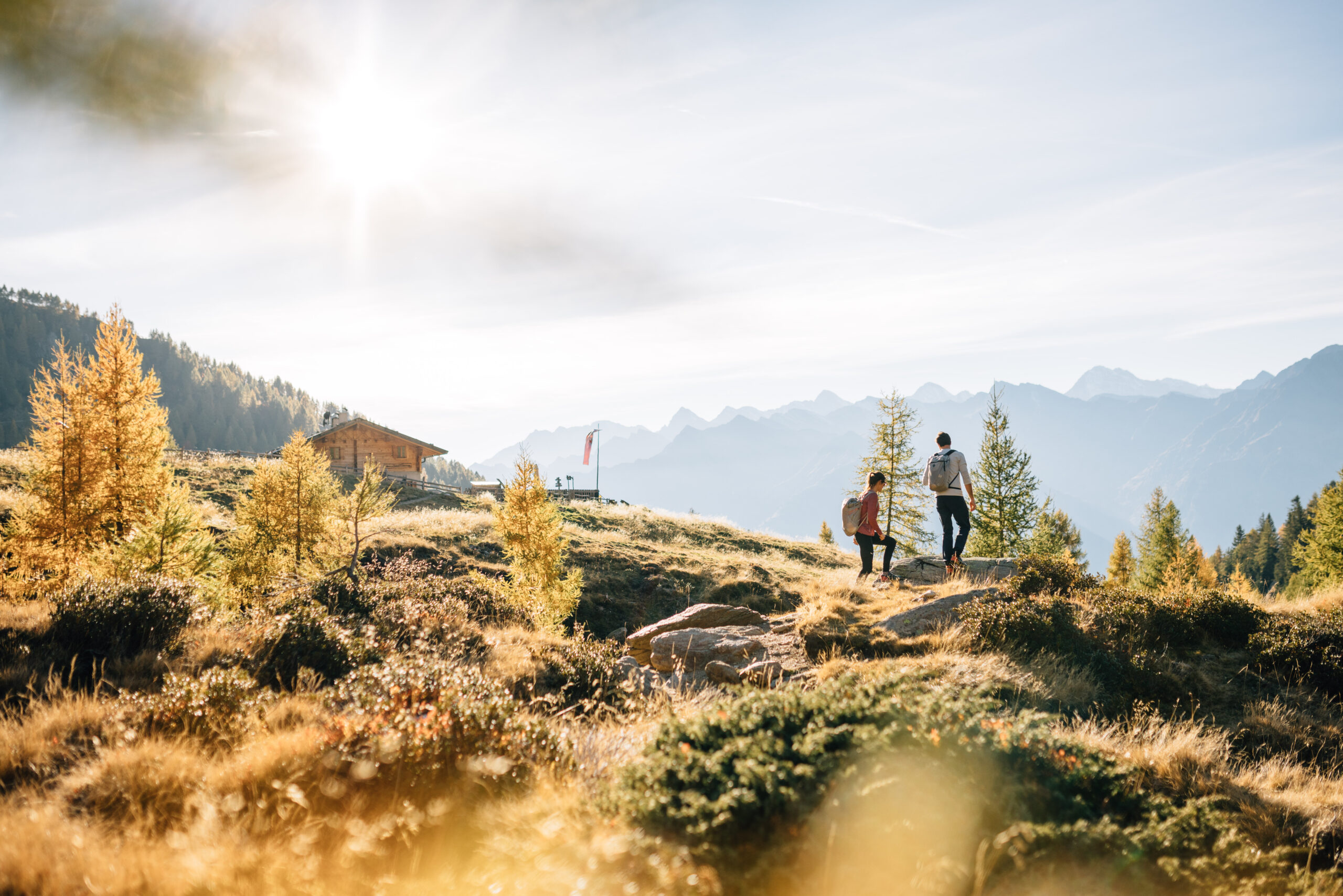
The stage begins at Hirzerhütte/Rifugio Hirzer at 1,983 m above sea level, a very cosy accommodation option (note: closed on Saturdays). After refilling water bottles, the wide hiking path starts with a gentle ascent. Along the way, there are sufficient opportunities to refill water supplies.
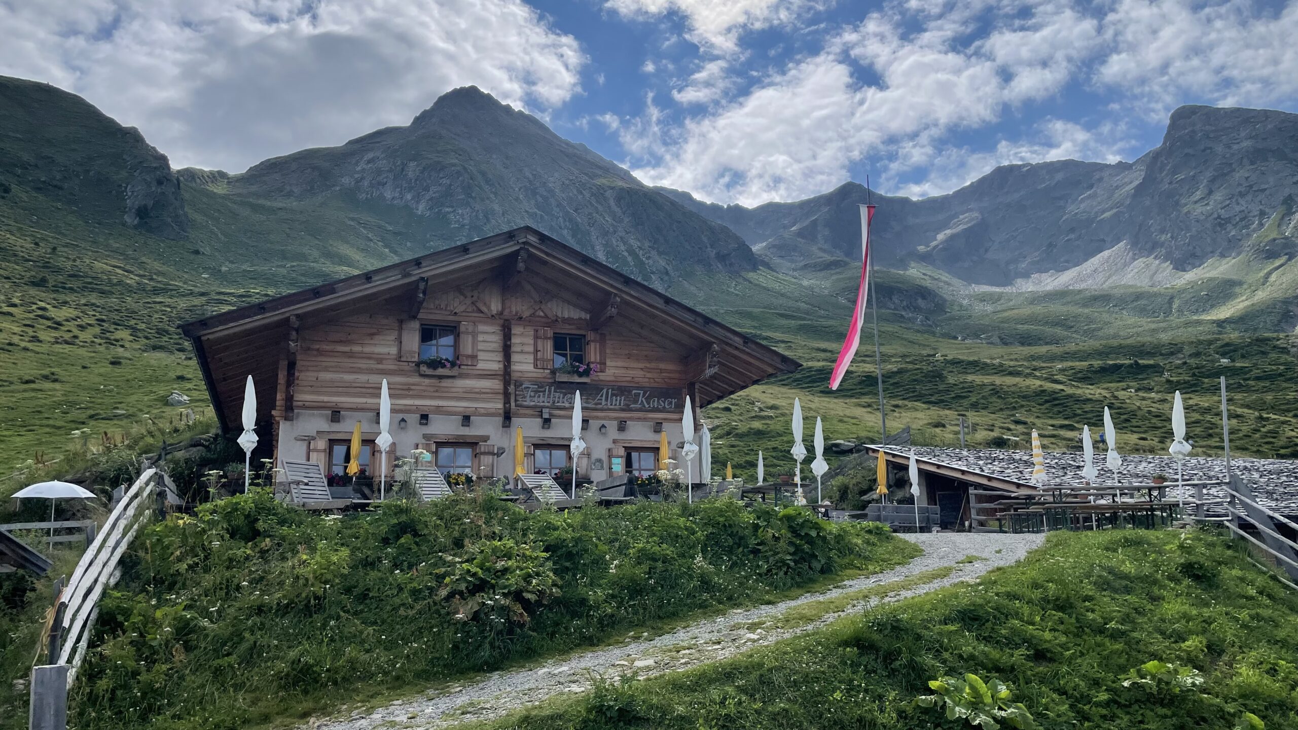
After just 300 m, the trail passes the idyllic Tallner Alm. Continue straight ahead towards “Hirzer” on paths that have been partly eroded by storms. The path becomes narrower and considerably steeper, winding in switchbacks through alpine roses and cattle pastures, quickly gaining elevation.
After around 580 metres of ascent and about 3 kilometres, the first secured sections equipped with steel cables are reached. Here, surefootedness is essential, as the path crosses steep slopes. After another 300 m, the Hirzerscharte/Giogo Piatto at 2,698 m is reached—the highest point and key section of the stage. A breathtaking panorama opens up here, with unobstructed views into the Sarntal Valley.
Variant: In good weather, a detour of about 30 minutes to the Hirzer/Punta Cervina summit (2,781 m) is possible, offering an unforgettable 360-degree panorama of the surrounding peaks. The trail is narrow, steep and not entirely without danger. It is advisable not to stay too long at the summit, as the descent is also steep and the remaining route to the destination is still long.
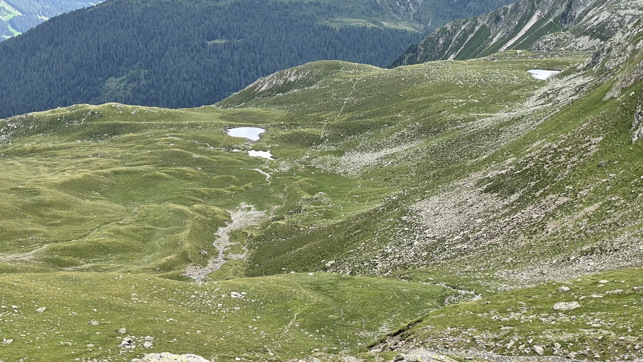
Whether with or without the summit detour: after a short break at the Hirzerscharte/Giogo Piatto , the route switches to the east side and descends. After nearly 600 metres of descent over scree fields, the trail leads down to flatter alpine meadows with several small mountain lakes, reaching a junction.
Follow the clearly visible right-hand path (“Gebirgsjägersteig”, trail no. 4), even though trail markings are sparse beyond the Hirzerscharte/Giogo Piatto. The path traverses steep slopes with slight ups and downs along a narrow trail. After 7.5 km (measured from Hirzerhütte/Rifugio Hirzer), the clear Kratzberger See/Lago di S. Pancrazio is reached – a perfect spot for a rest or even a refreshing swim.
After the break, continue straight at the junction towards Missensteiner Joch/Giogo di Pietramala (trail no. 4). The path becomes wider and more comfortable, as more hikers join from the Meran 2000/Merano 2000 ski area.
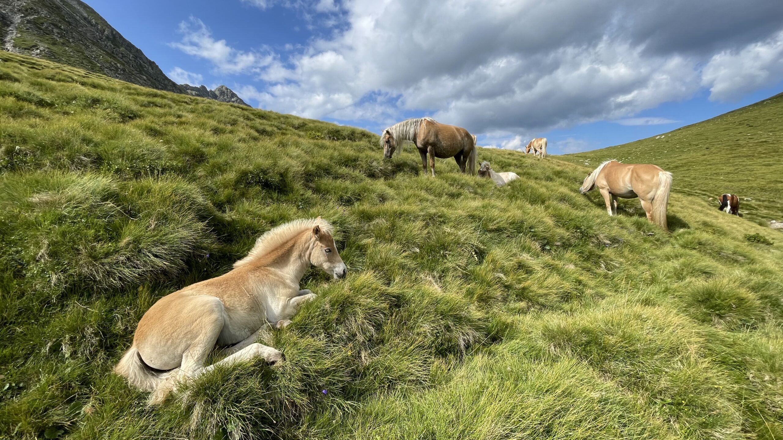
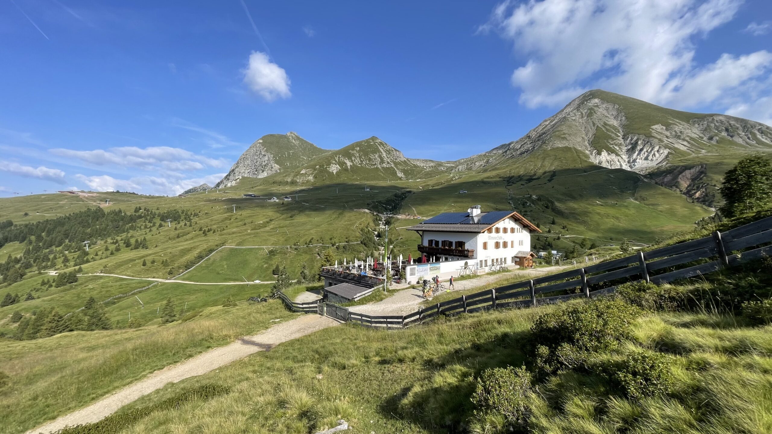
At Missensteiner Joch/Giogo di Pietramala (2,120 m), a large wooden cross welcomes hikers, marking the entrance into the Meran 2000/Merano 2000 area, where Haflinger horses spend their summers. From here, follow trail no. 4 straight downhill, passing Grüblalm, until reaching a forest road. Keep left and follow it slightly uphill directly to Meraner Hut.
Just before the hut lies Kirchsteiger Alm, which also offers accommodation.
The stage destination, Meraner Hut, is an AVS-managed hut with around 50 beds, offering everything from cosy rooms to traditional dormitory accommodation.