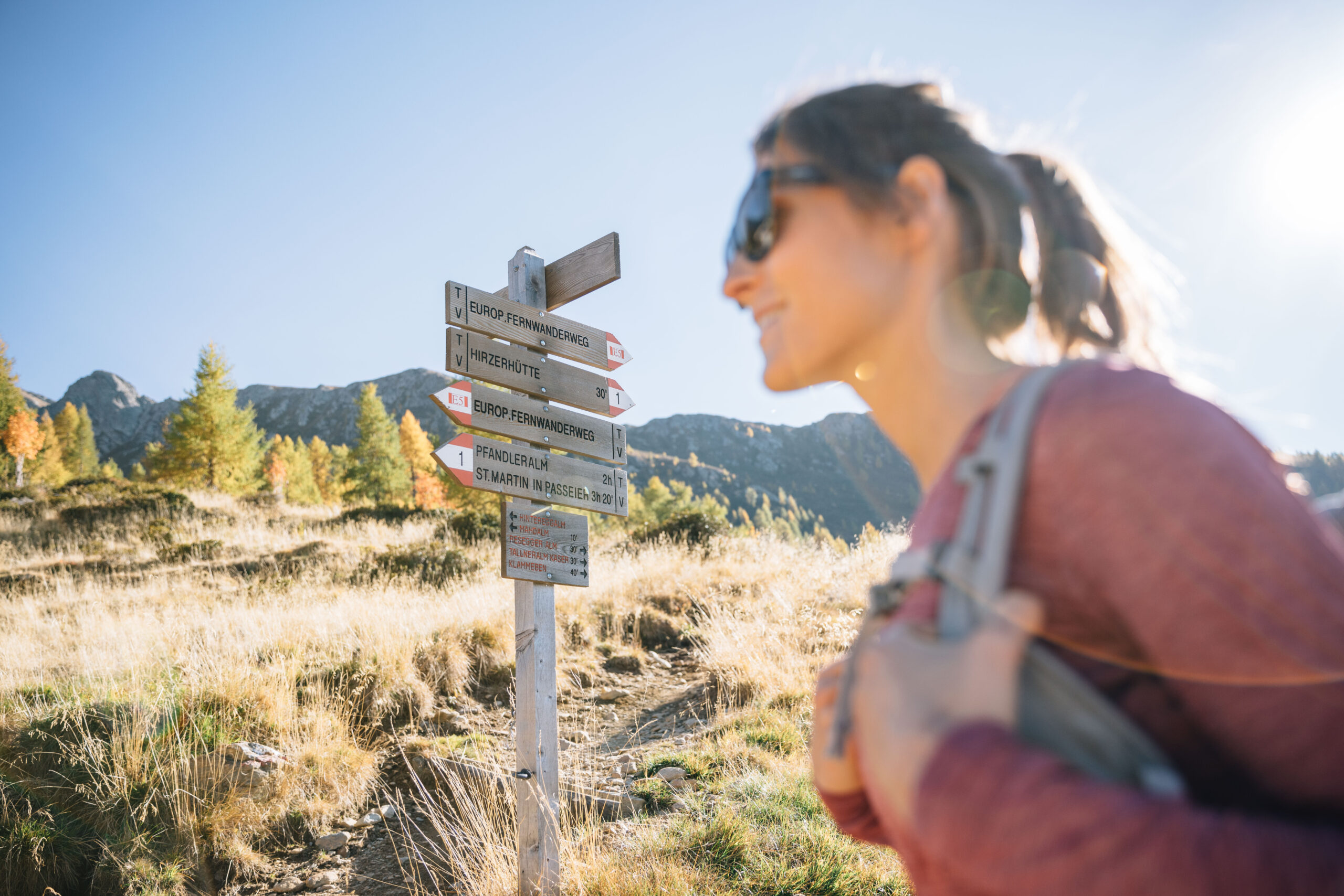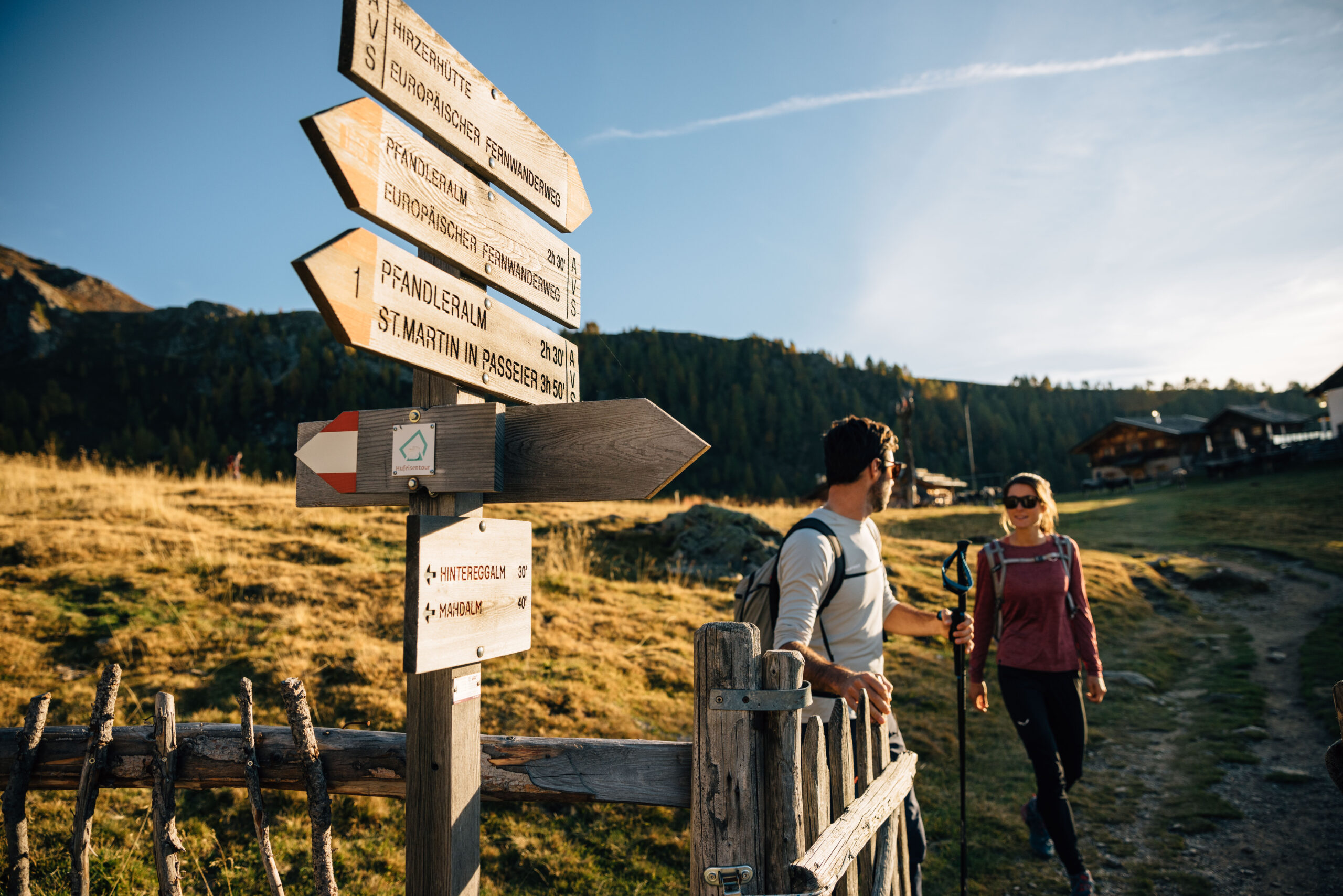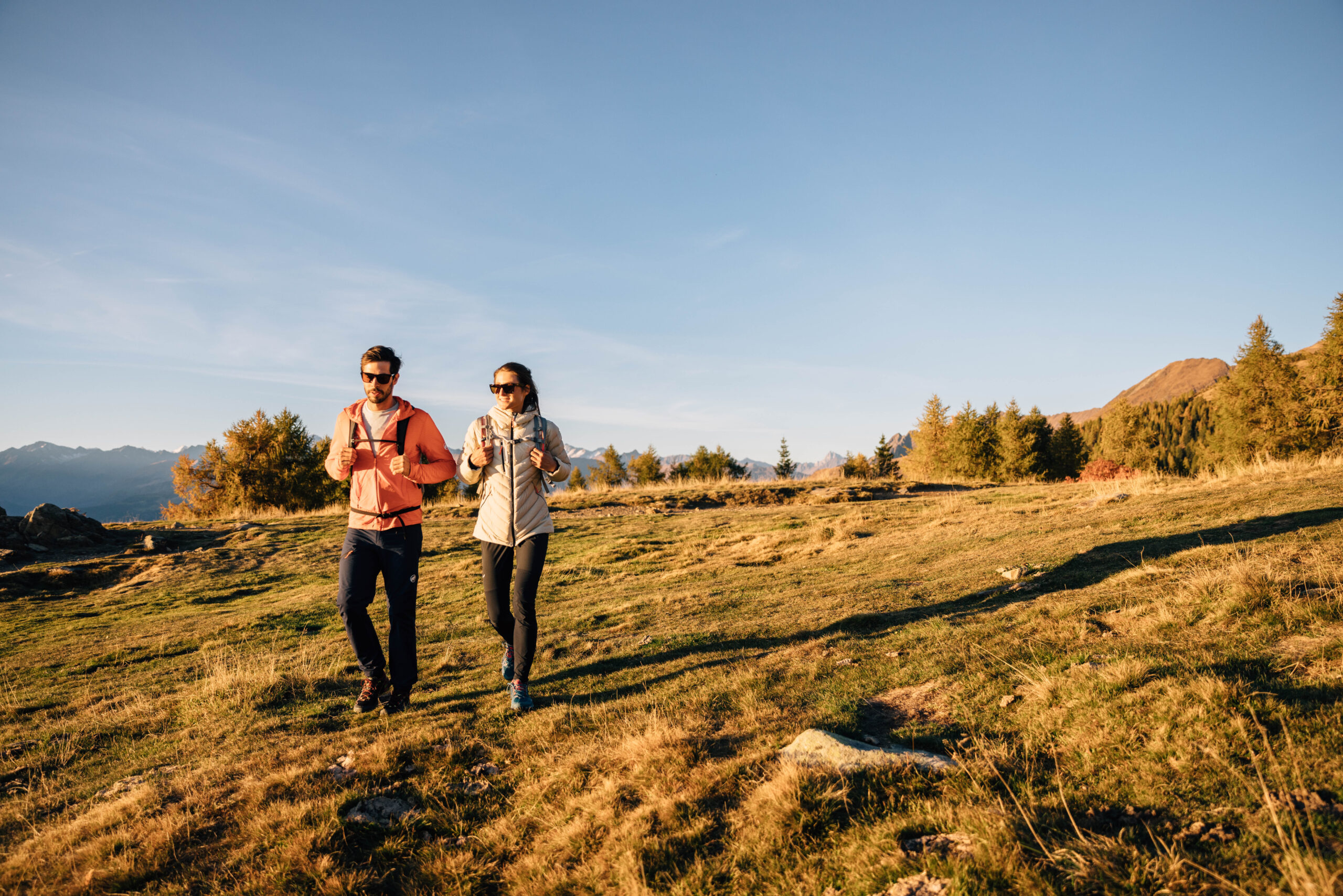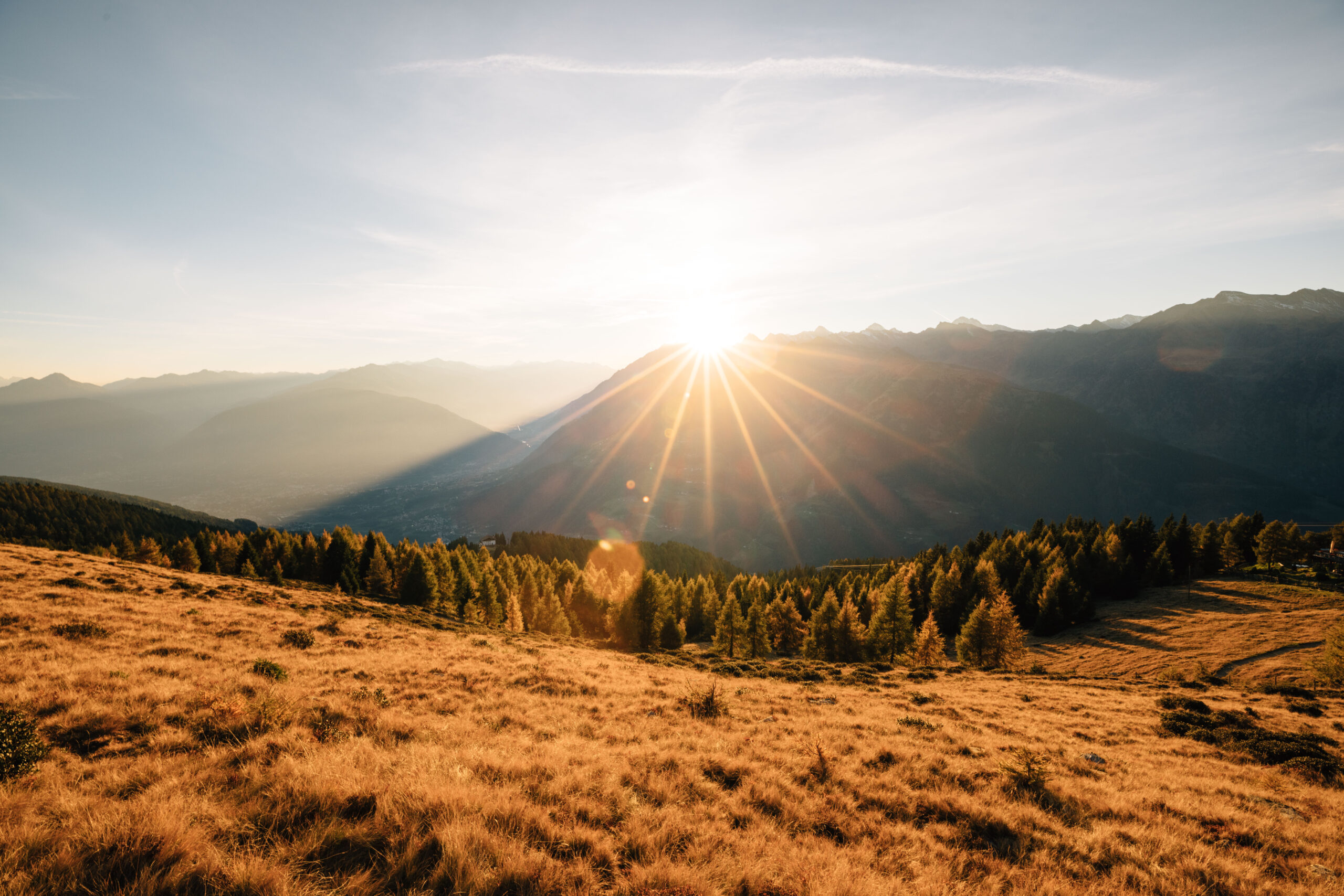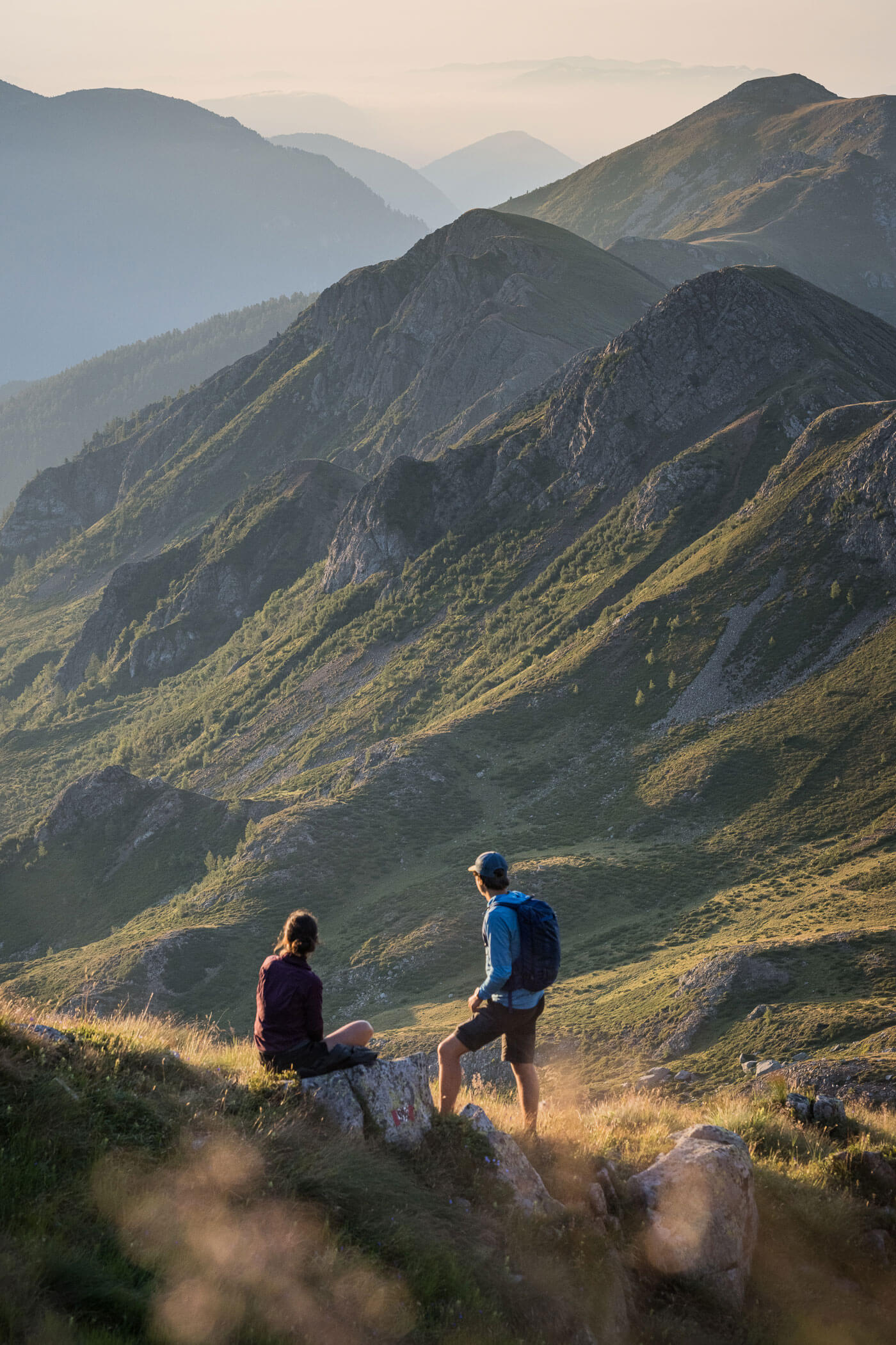
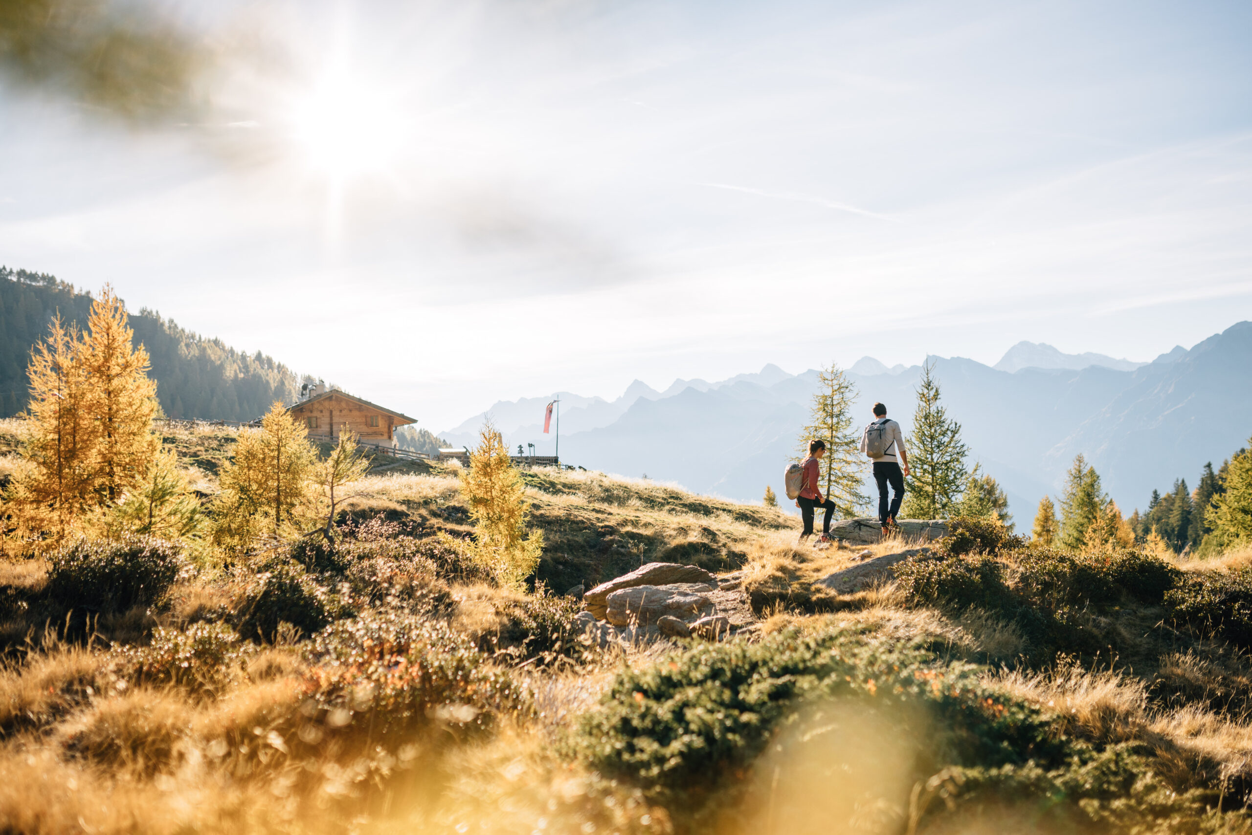
Wide grassy ridges, quiet high-altitude trails and endless sky above the Passeier Valley: on the way to Hirzerhütte/Rifugio Hirzer, the E5 reveals itself as calm, rugged and almost a little lost in the mountains.
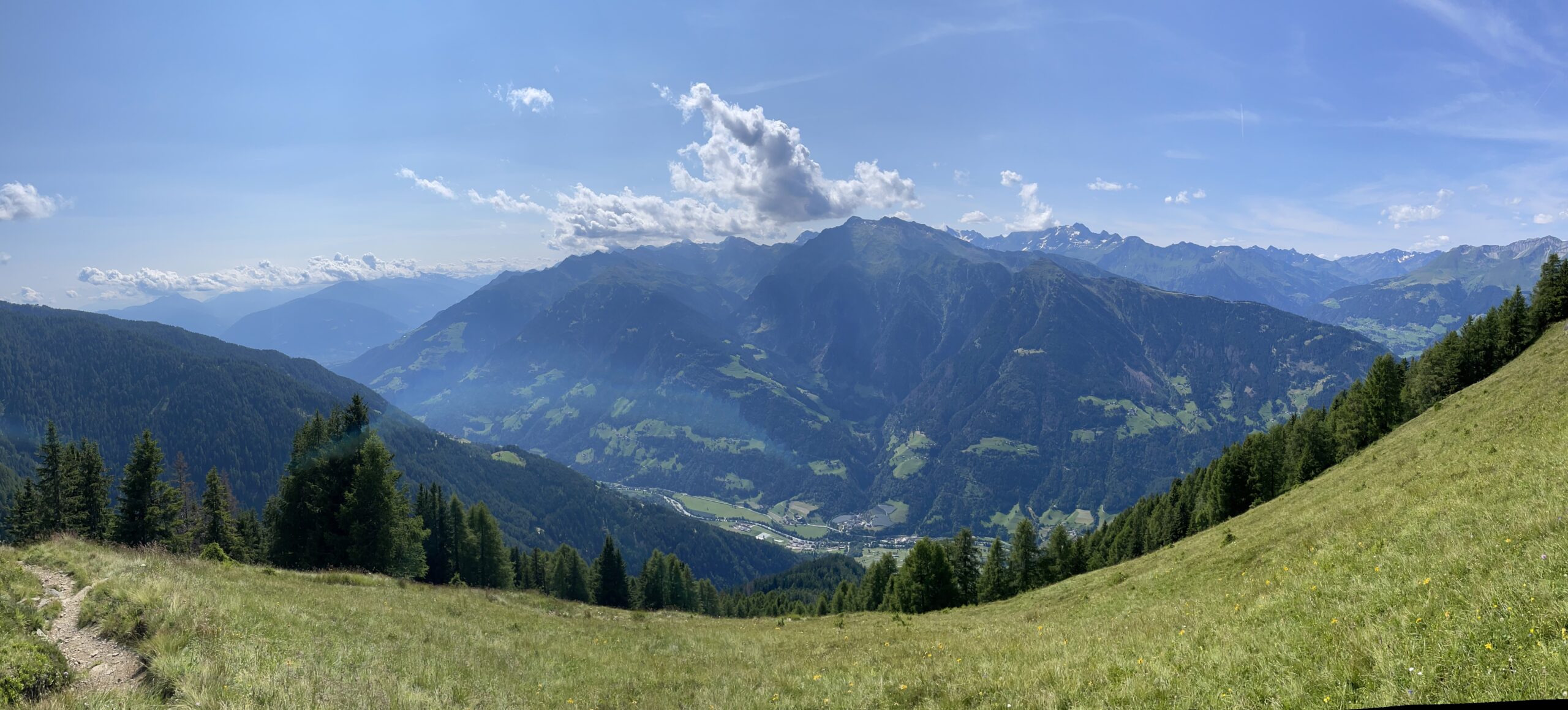
From Pfandler Alm/Malga Pfandler up towards Hirzerhütte/Rifugio Hirzer, the E5 becomes more expansive, quieter and more alpine again. Forests gradually fade behind the hiker – replaced by alpine pastures, wide grassy ridges and long high-level trails. The view stretches deep down into the Passeier Valley and far across to the peaks of the Ötztal Alps.
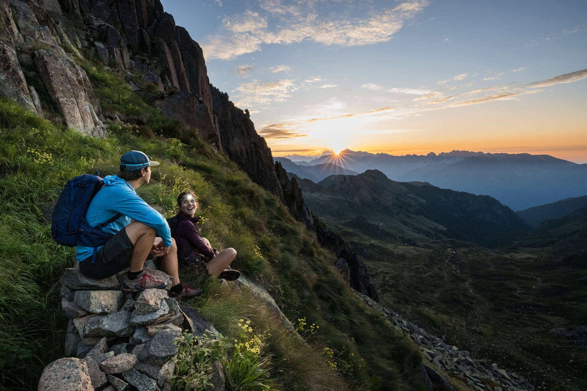
This stage is less defined by a single highlight and more by its open landscape. The paths wind through the Hirzer region in constant ups and downs – often lonely, often windy, and filled with that sense of calm you begin to appreciate on a long Alpine crossing. Small alpine huts, the sound of cowbells and narrow trails are often the only companions.
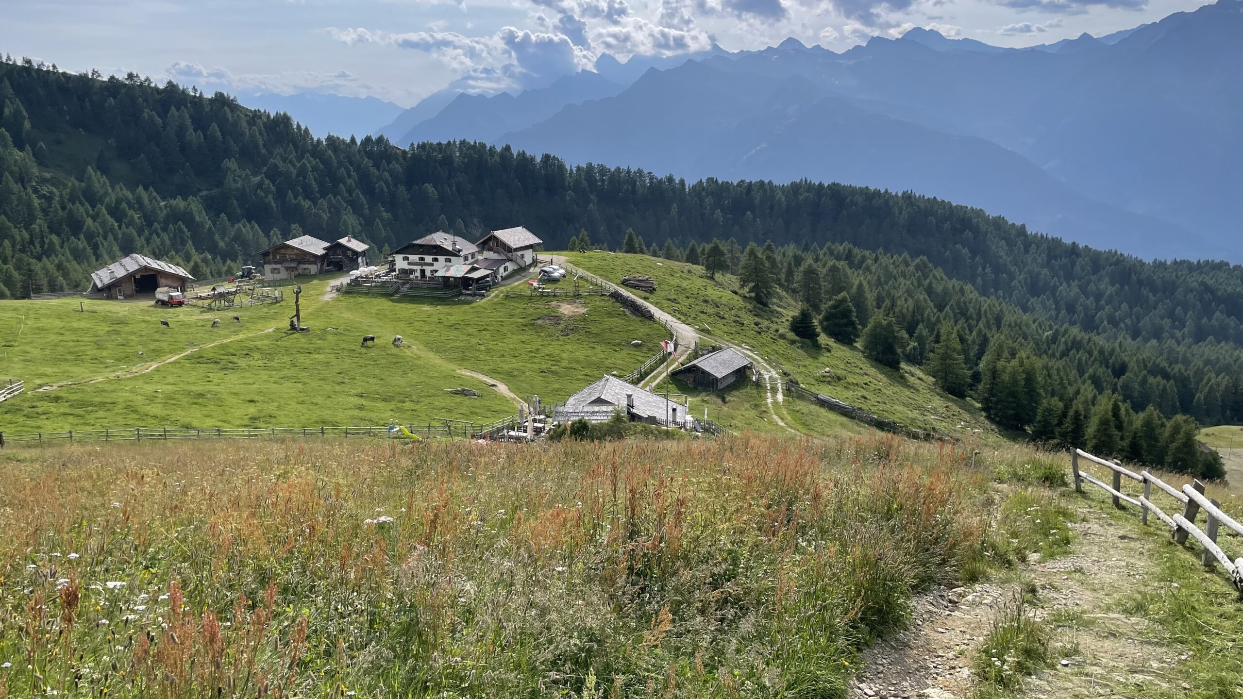
Only towards the end does Hirzerhütte/Rifugio Hirzer suddenly appear above the slopes. Not a spectacular place – but one that fits the E5 perfectly: simple, high up and with that special feeling of having come a little closer to the mountains for one evening.
Description
This stage is shorter than the previous ones, but the steep and demanding ascent should not be underestimated. It is advisable to carry sufficient water, as there are no water sources for the next 3 hours until Mahdalm.
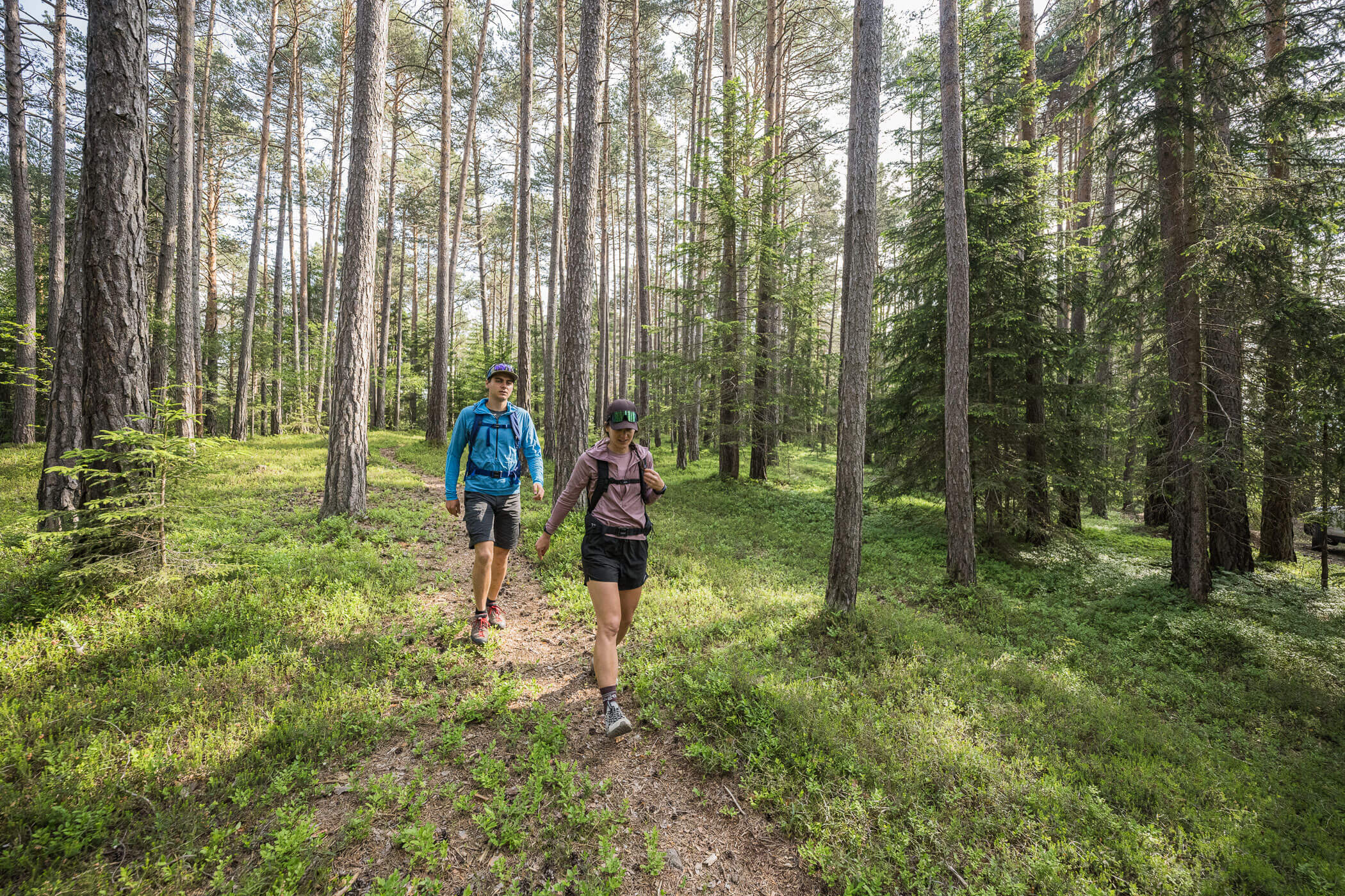
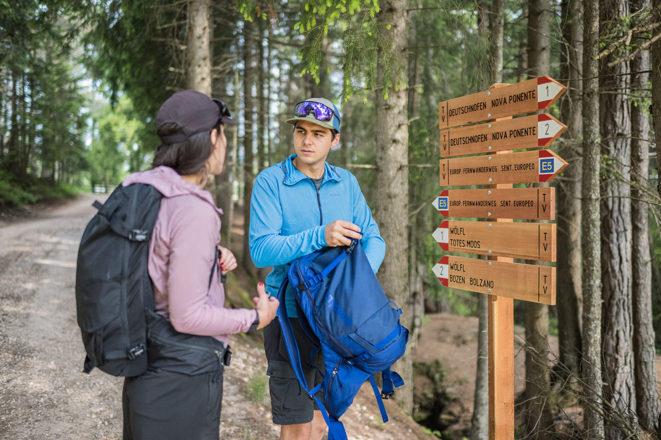
The route is consistently well signposted. Starting from Pfandler Alm/Malga Pfandler, follow a steadily ascending path that soon crosses a forest road. This road is crossed repeatedly along the way.
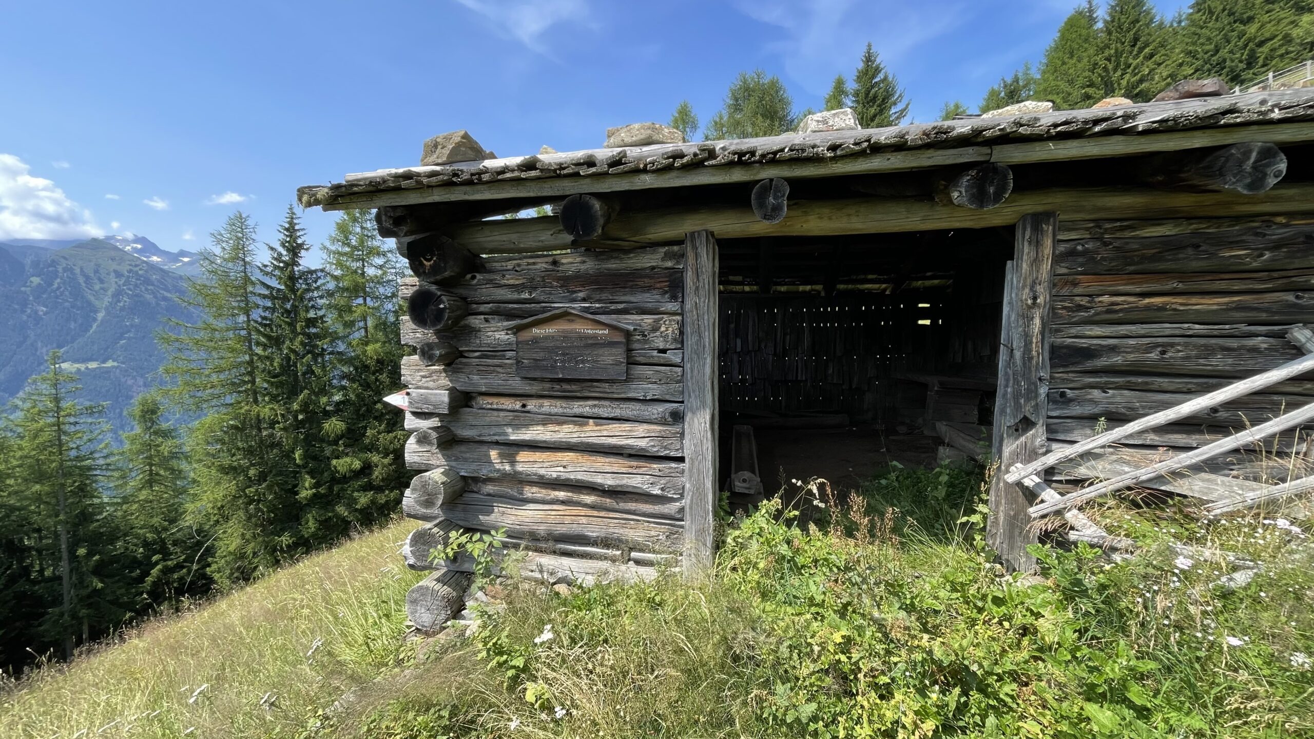
At km 1.4, you reach a mountain meadow where the tourism association of St. Martin in Passeier/San Martino in Passiria, together with local landowners, has set up a hut as a rest stop for hikers. The trail continues along the edge of the forest and becomes increasingly steep, allowing you to quickly gain elevation. The forest gradually opens up and larch trees become more common.
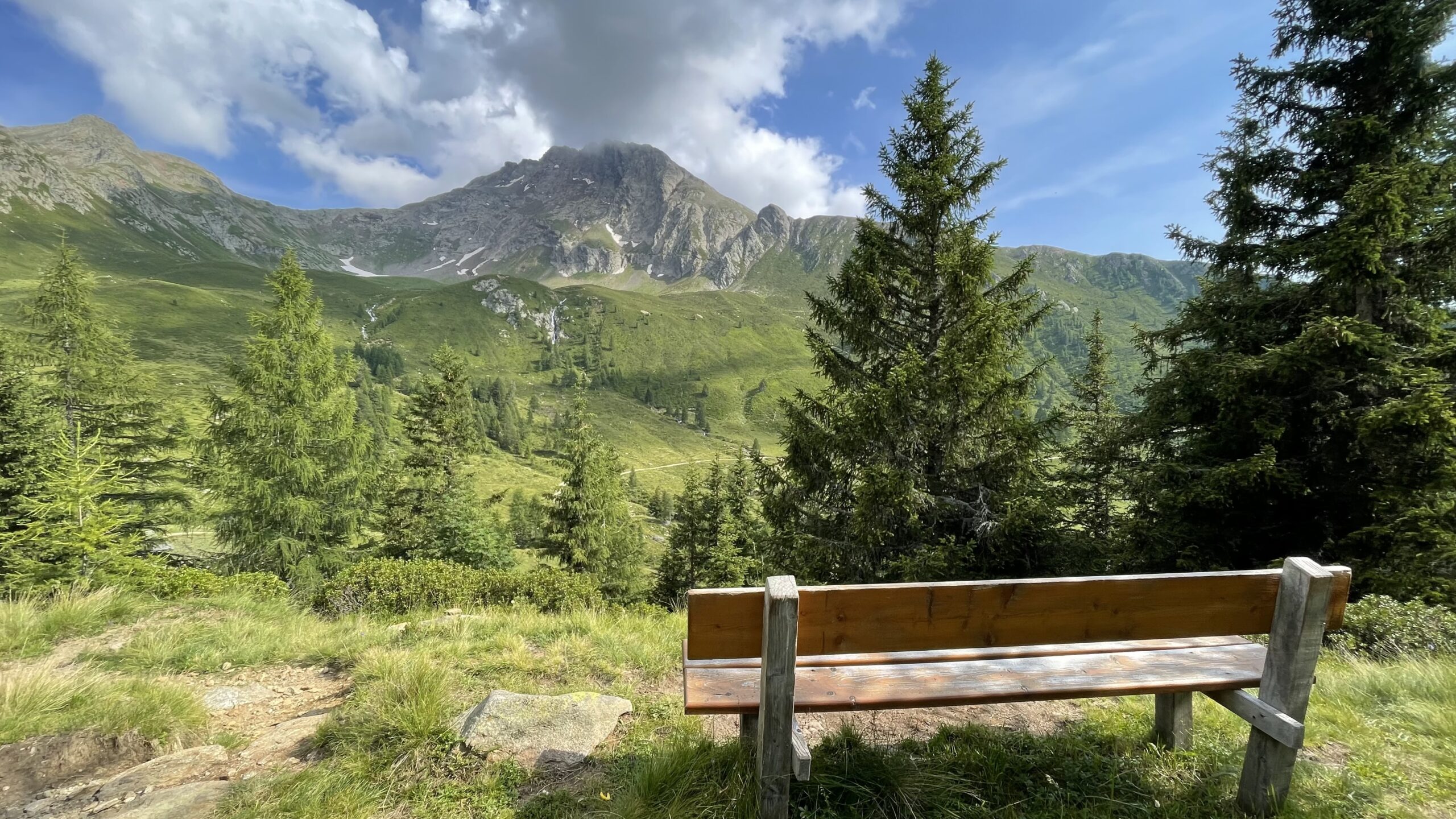
After a steep ascent at km 2.8, a mountain panorama with impressive distant views opens up. Here, a short detour to the left to the Riffelspitze/Monte Sega at 2,060 m (approx. 20 minutes) is worthwhile – especially in good weather.
The trail now continues more gently across steep alpine meadows: take care in wet conditions, as there is a risk of falling. The path becomes more pleasant, mostly with gentle ups and downs, and repeatedly offers breathtaking views. After crossing several ridges, the first huts come into sight.
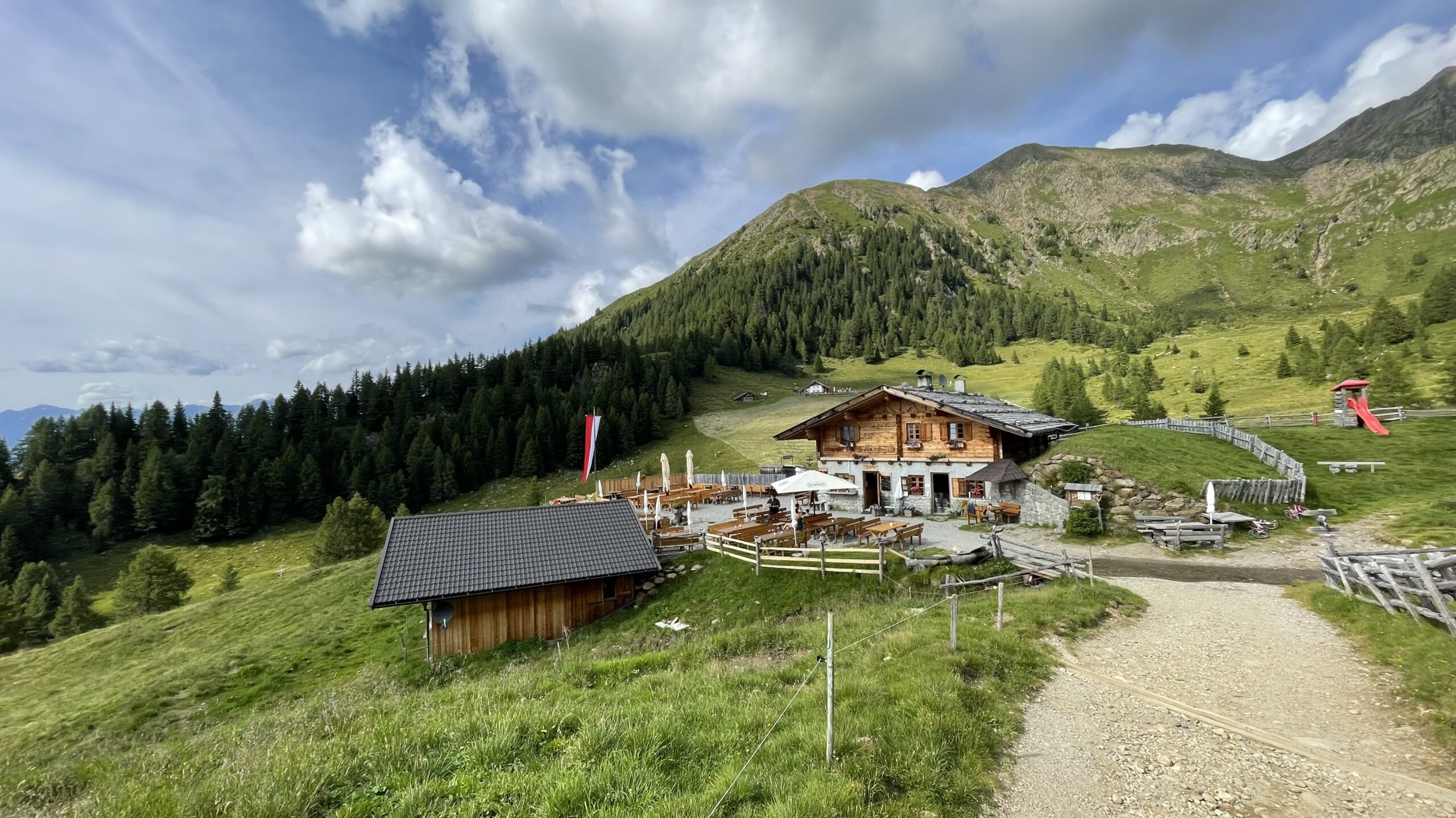
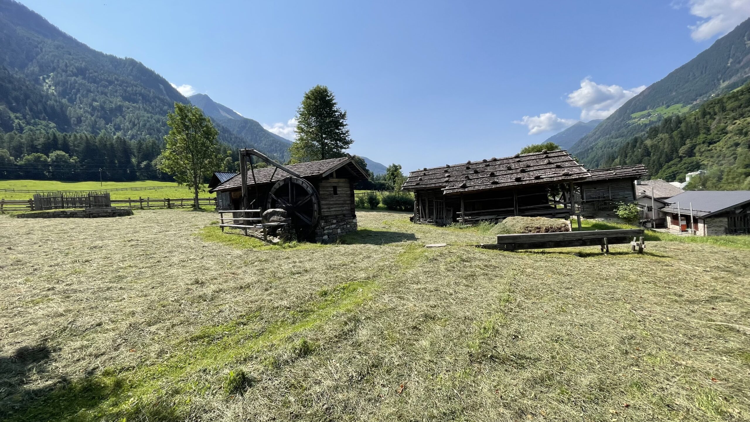
At km 5.4, you reach Mahdalm, which features a beautiful sun terrace and a well-maintained play meadow. After another 400 m along trail no. 1, you reach Hintereggalm, where excellent food is also served. Here, you can refill your water bottles at the Grafeisenbach stream/Rio Graves.
From there, a forest road (trail no. 1) leads to further alpine huts and finally to Hirzerhütte/Rifugio Hirzer, which is reached about 30 minutes after leaving Hintereggalm. In the surrounding area, there are seven alpine huts, all offering excellent food.
Hirzerhütte/Rifugio Hirzer welcomes hikers warmly and provides ideal accommodation with newly renovated rooms.