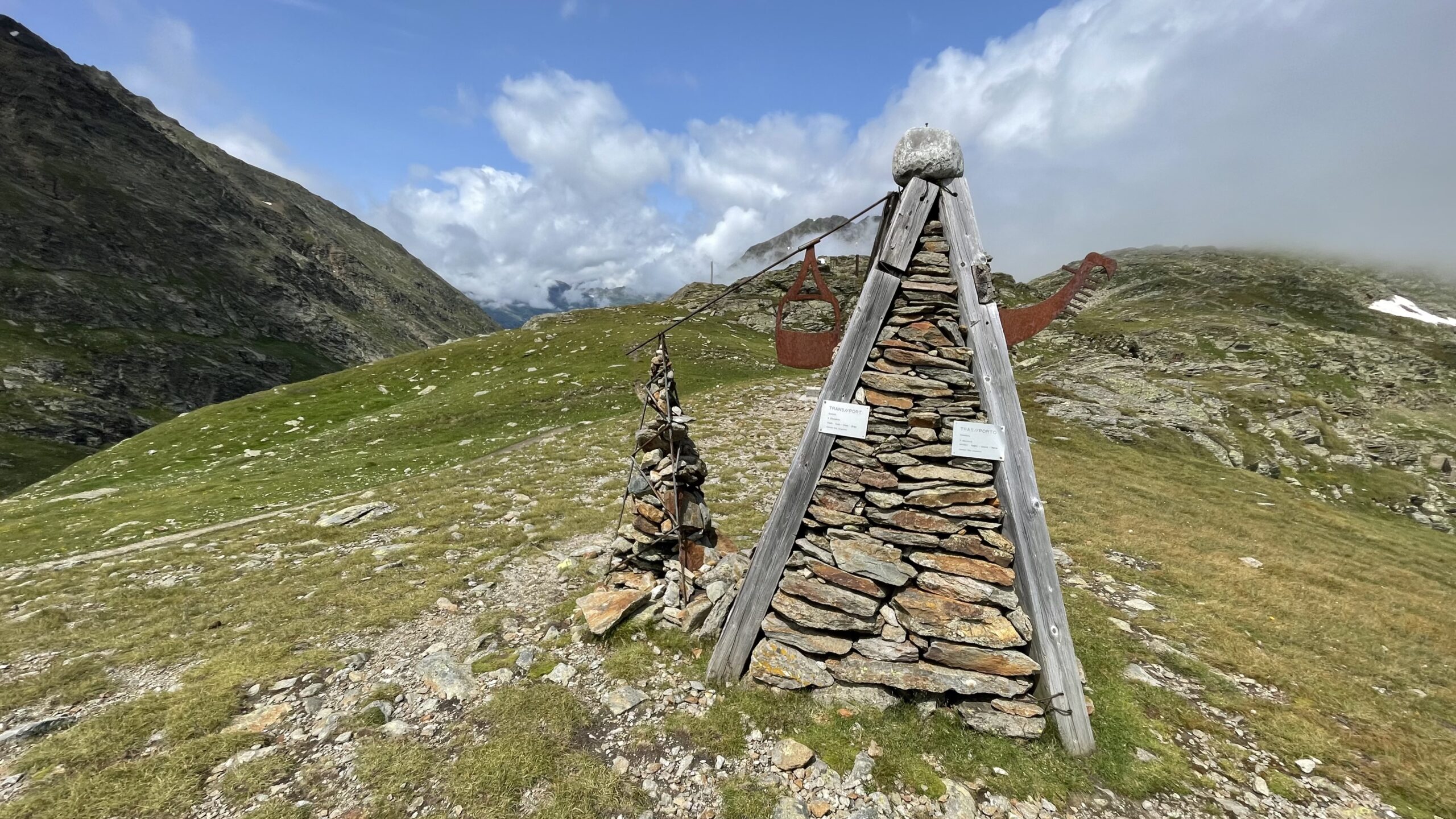
Via alms in the face of the three-thousand-meter-tall mountain through the Ötz Valley (the original E5 route)
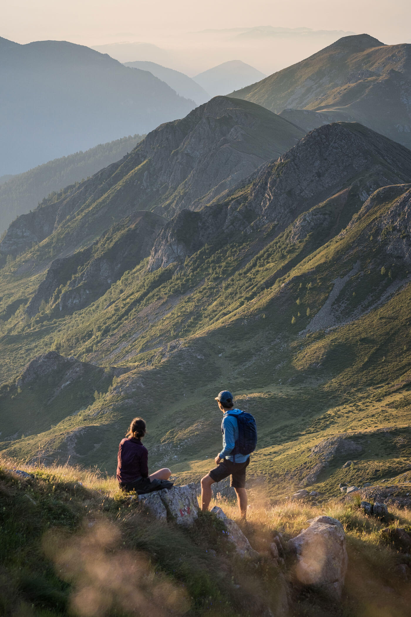
On this stage, for once, no mountain ridge is crossed; instead, you hike from the fashionable mountain resort of Sölden quite leisurely at mid-height over beautiful alpine meadows further into the Ötz Valley. If the weather is good, there is also time for a long break.
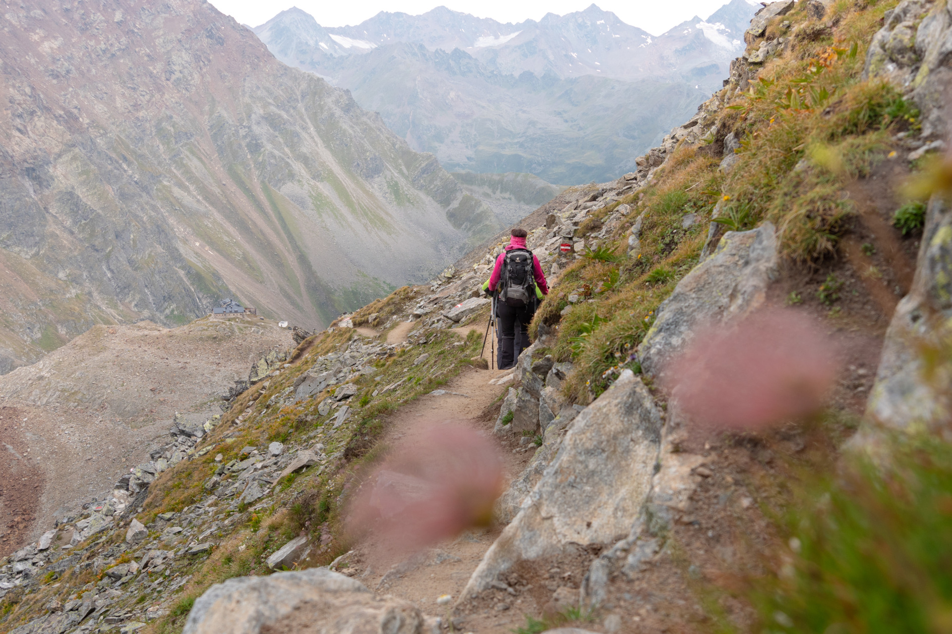
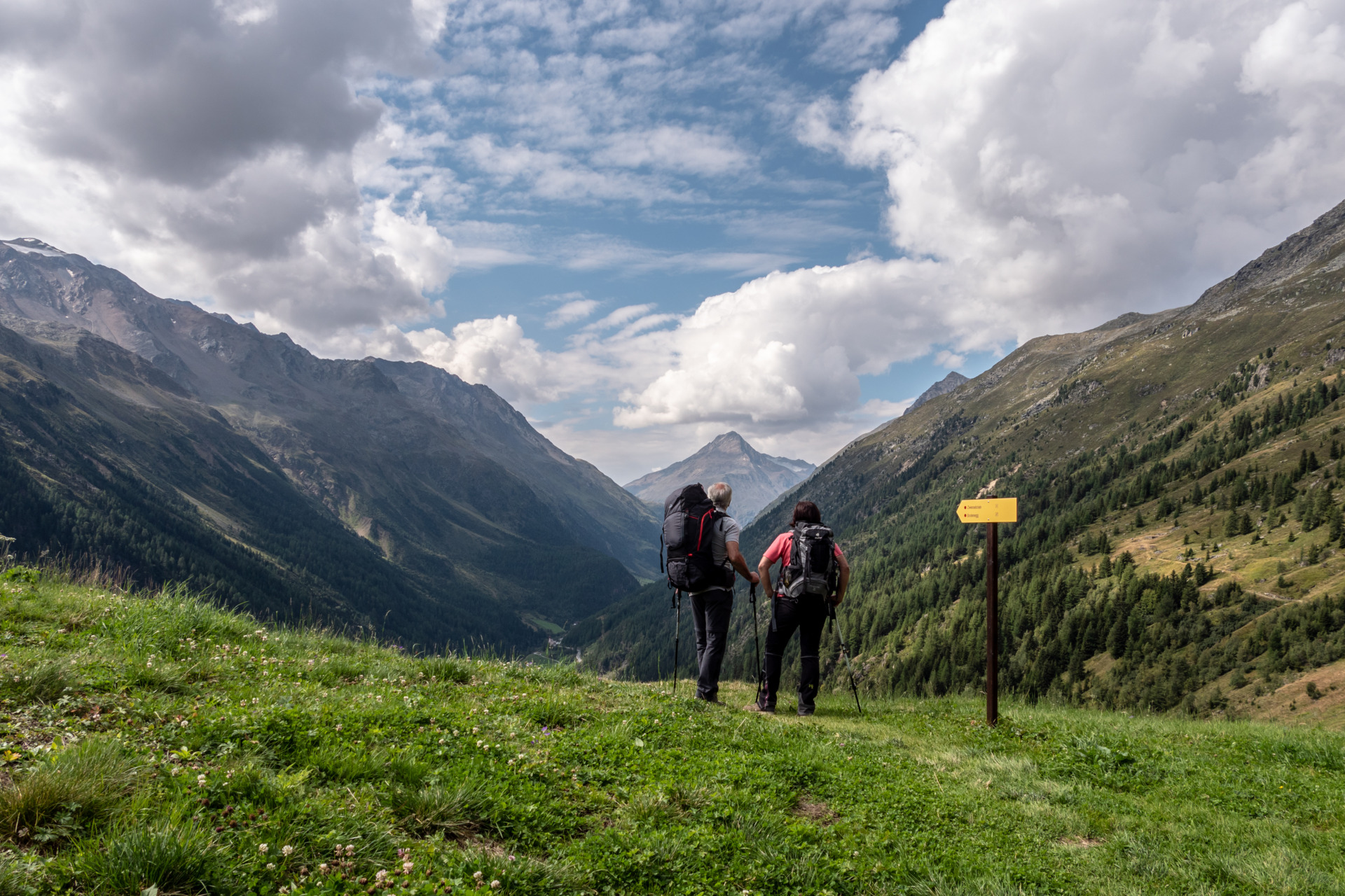
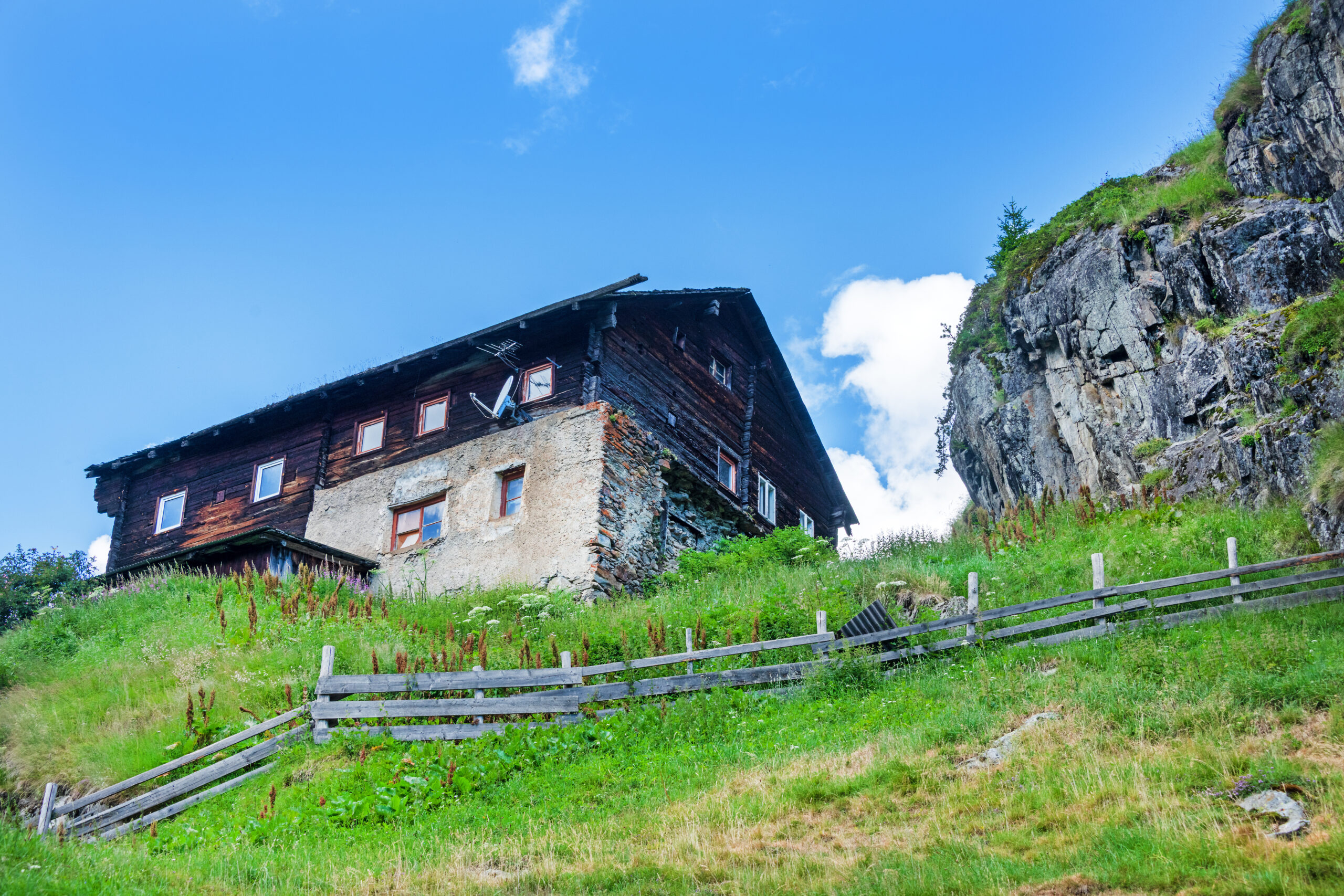
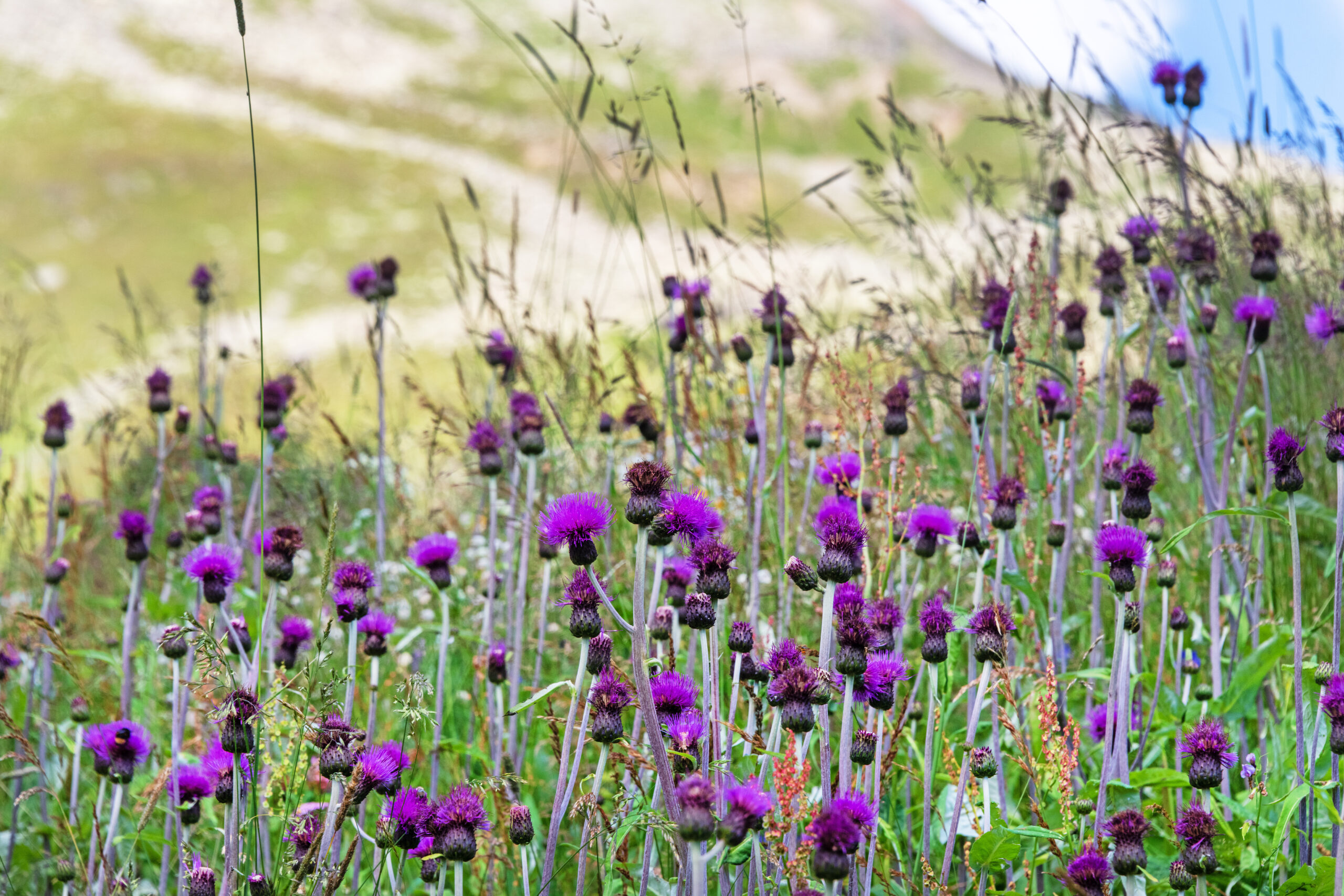
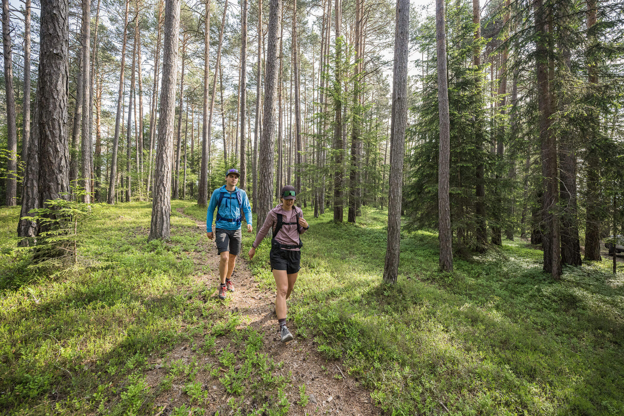
From Sölden, there is a very beautiful ascent up to the alpine pastures and through pleasantly cool forest landscapes. Once you reach the highest point near the toll station, you can hike along the tree line high above the Ötz Valley, leisurely navigating the ups and downs along the slope towards Zwieselstein. The lovely alpine pastures, situated right along the path, practically invite you to a cozy stop. The descent to Zwieselstein begins at the Gaislach Alm. It is longer than one might think; first, it goes down across the high meadows, then disappears into the forest near the Mariahilf Chapel Gaislach. This final part of the descent down to the main road is quite steep but very scenic.
Description
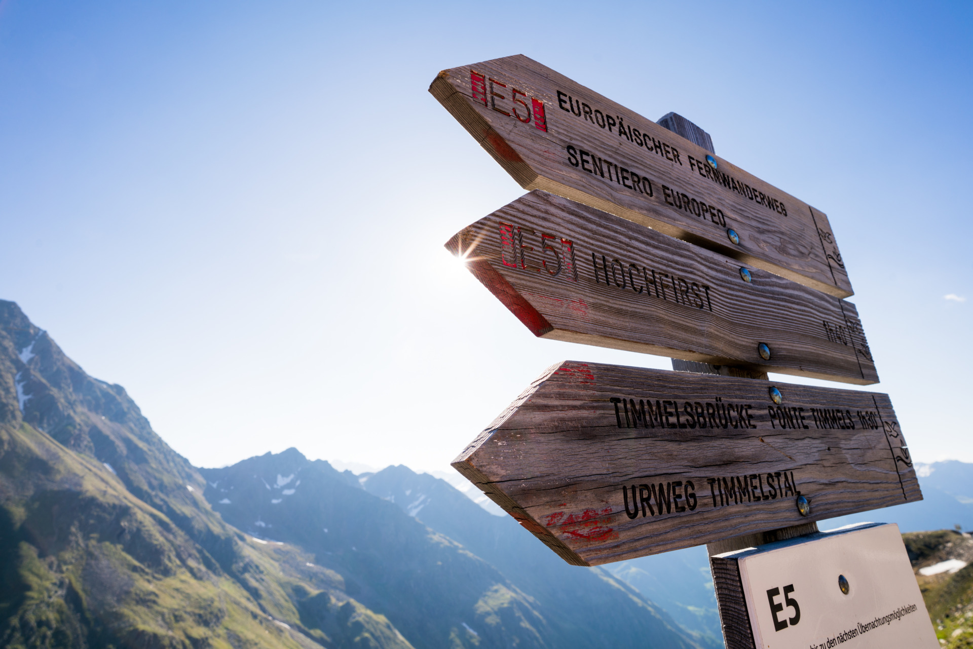
Along the main street of Sölden, walk in the direction of the prominently visible and only church tower. In front of the Raiffeisen bank, there is a display case for the library, where the ascent begins. Steeply up the narrow tar path to the cemetery. Pass between the church and the elementary school, then turn left immediately after the school. Steeply up the tar path next to the power station until you reach the road. Turn right and continue to the hairpin bend. Follow the signs to the right onto a steep natural path and along the creek uphill to the bridge. Then follow the signs for “Gampe Alm.”
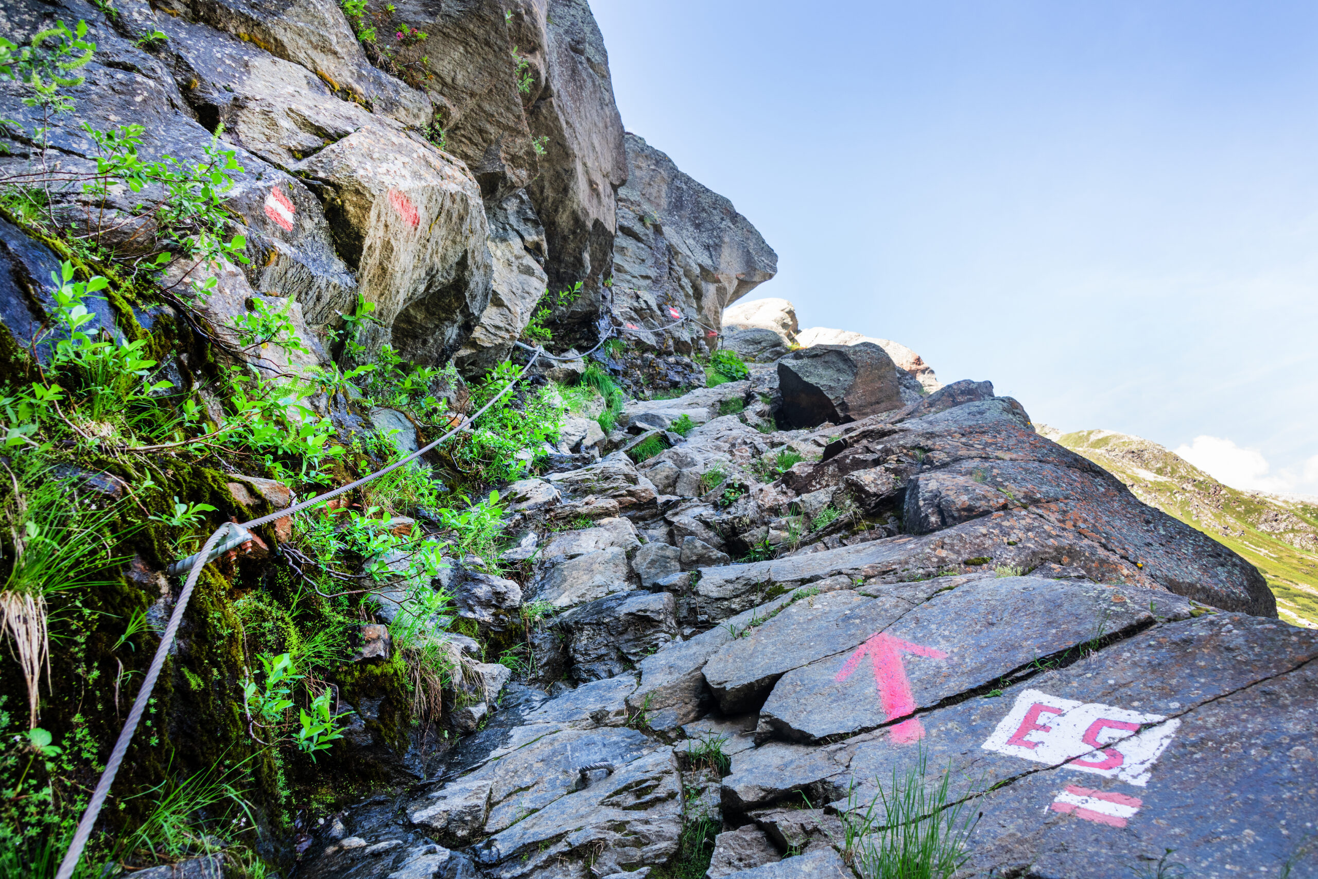
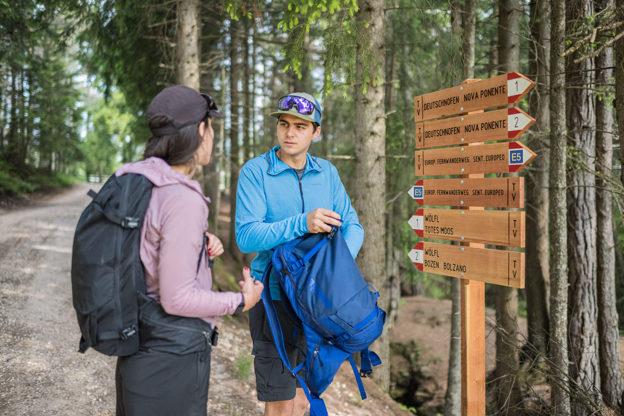
Continue straight along the creek uphill to the next bridge. There, turn left, following the signs for “Gampe Alm” or “Zu den Almen.” A little further up, you cross the glacier road twice before the ascent on the ski slope ends. Always follow the ski slope to the right. You pass the station of the “Langegg” chairlift and continue upward to Stabele Alm. The further ascent goes along the ski slope, which is used as a bike descent in the summer. When you come to the “Hühnersteign” inn, continue to the left (signpost: “zu den Almen”) and use the underpass near the truck toll station to pass under the Gletscherstrasse. Follow the signs for “Gaislach Alm E5” and hike along the hillside with gentle ups and downs, passing the Löple Alm until you reach the Gaislach Alm. The trail is marked as E5. At the Gaislach Alm, turn right at the hairpin bend and follow the signs to Zwieselstein. After the Gaislach Mariahilf Chapel, the path goes steeply down again along a narrow forest trail, ending at the road to Vent. Cross this road and continue on the tractor path below it to Zwieselstein.