Attention high point! Crossing the main ridge of the Alps from the lively and famous Ötztal via the Timmelsjoch/Passo del Rombo/Passo del Rombo into the idyllic and unspoilt Passeier Valley marks the moment when the E5 leaves North Tyrol behind and reaches the southern side of the Alps in South Tyrol.
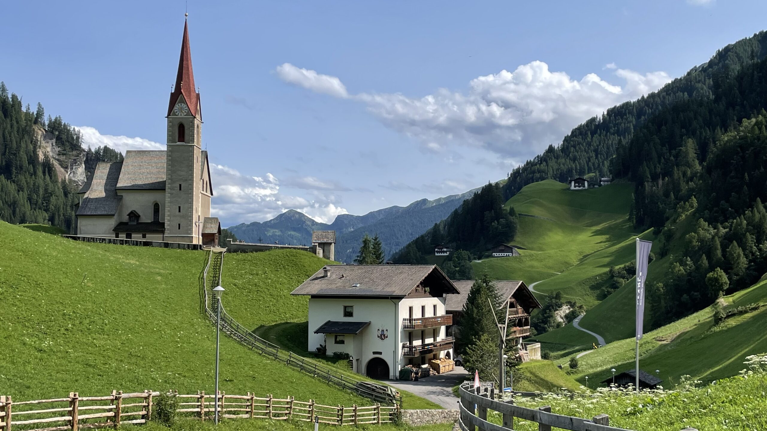
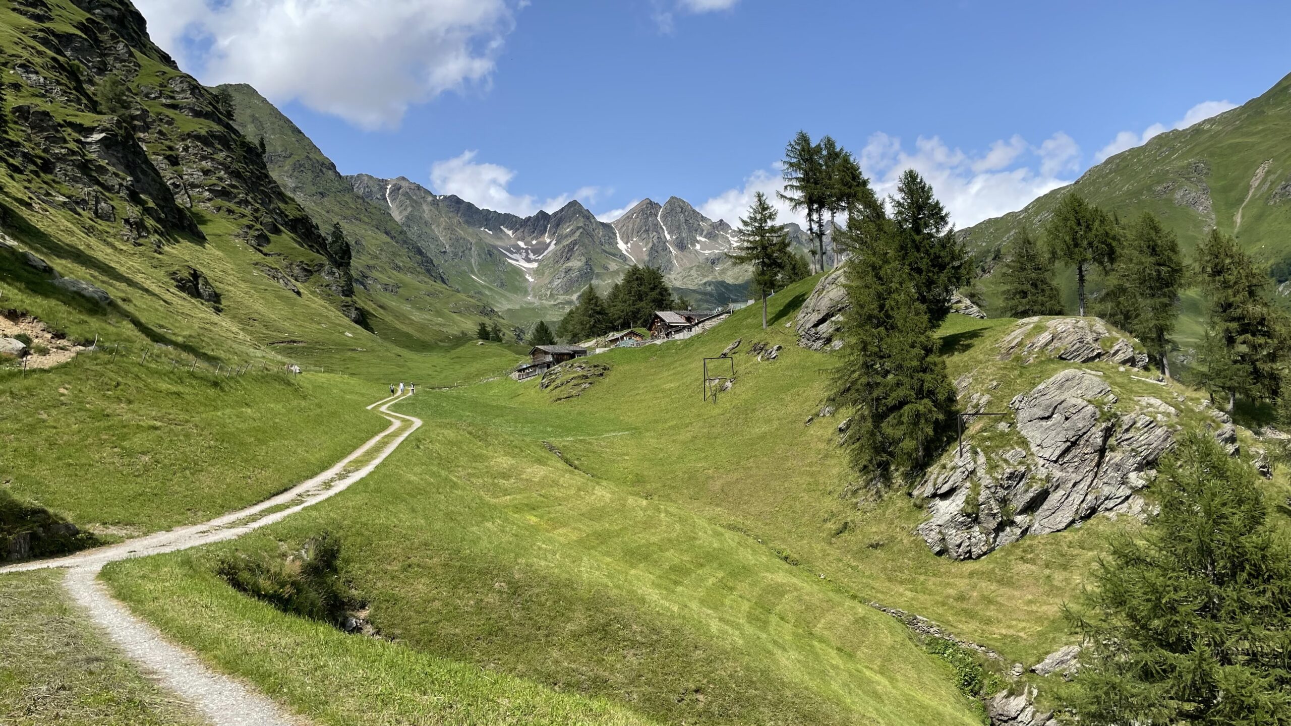
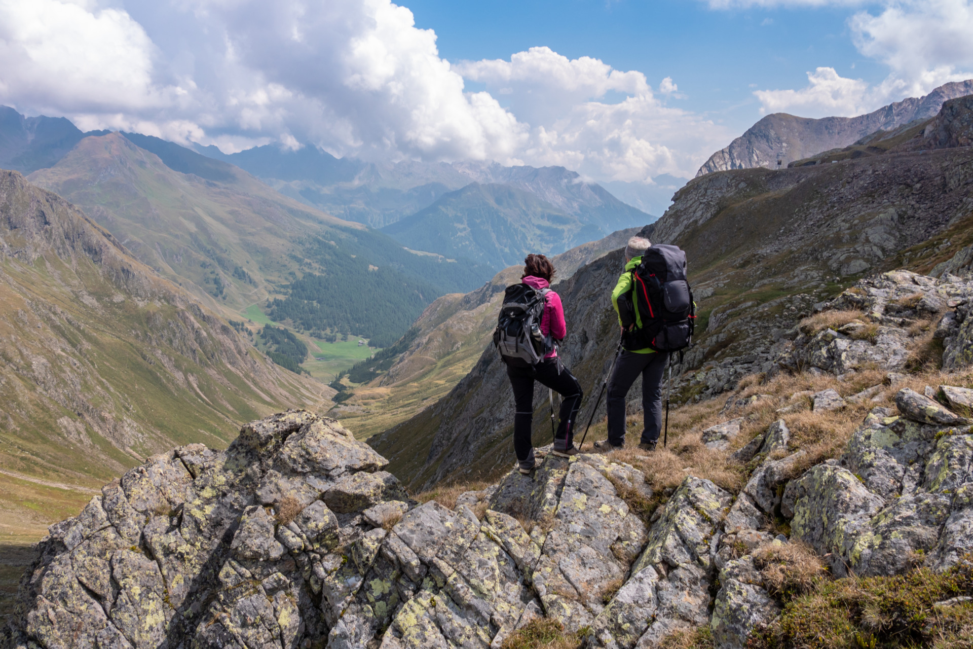
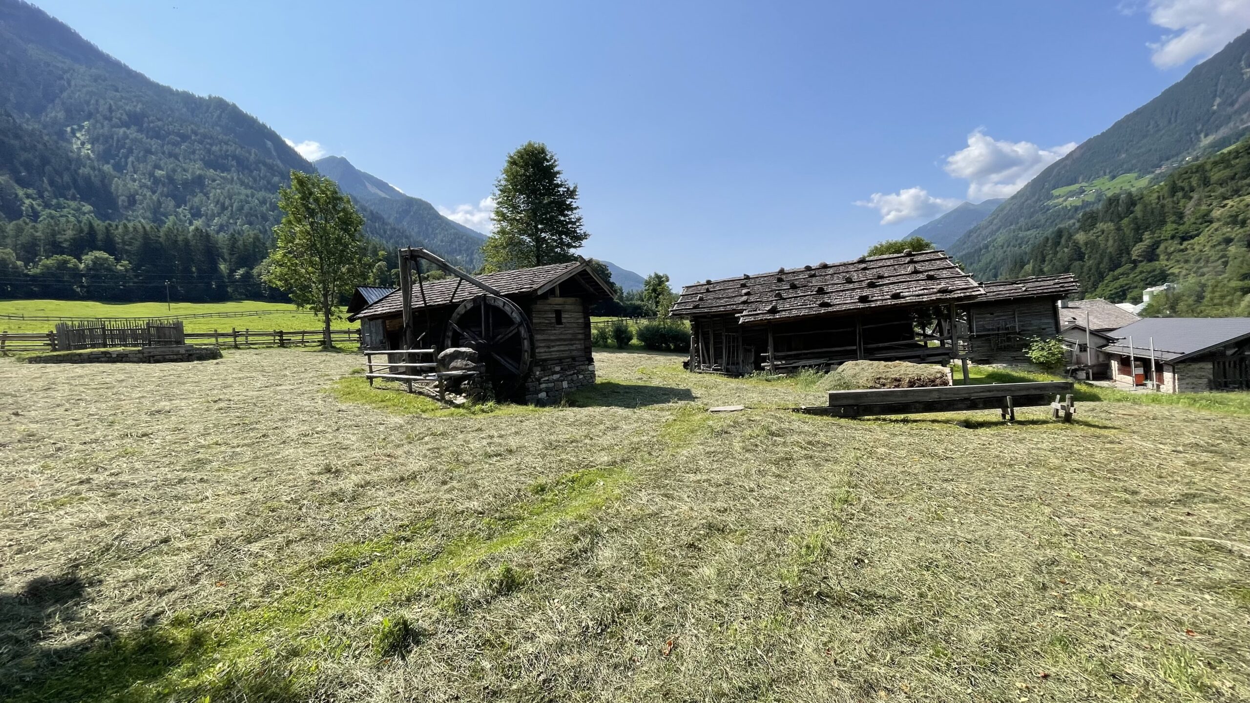
You can twist and turn it however you want: during a trek across the Alps, crossing the main ridge of the Alps is always one of the defining highlights of the entire journey. Otherwise, you wouldn’t truly be crossing the Alps – even though, as on the E5 between Oberstdorf and Gfrill/Cauria in South Tyrol, many other mountain ranges are traversed along the way. On this stage, the route leads from the renowned Ötztal over the 2,474 m high Timmelsjoch/Passo del Rombo/Passo del Rombo and down into the charming Passeier Valley. Expect unforgettable impressions: magnificent views of the glaciated three-thousand-metre peaks of the Ötztal Alps, a beautiful high-alpine landscape along the ascent through the Timmel Valley, picturesque alpine pastures on the descent into South Tyrol, and traditional farms nestled in the welcoming villages of the Passeier Valley.
This is a very long but technically moderate stage on your journey from North Tyrol to South Tyrol—yet it can easily be shortene.
Description
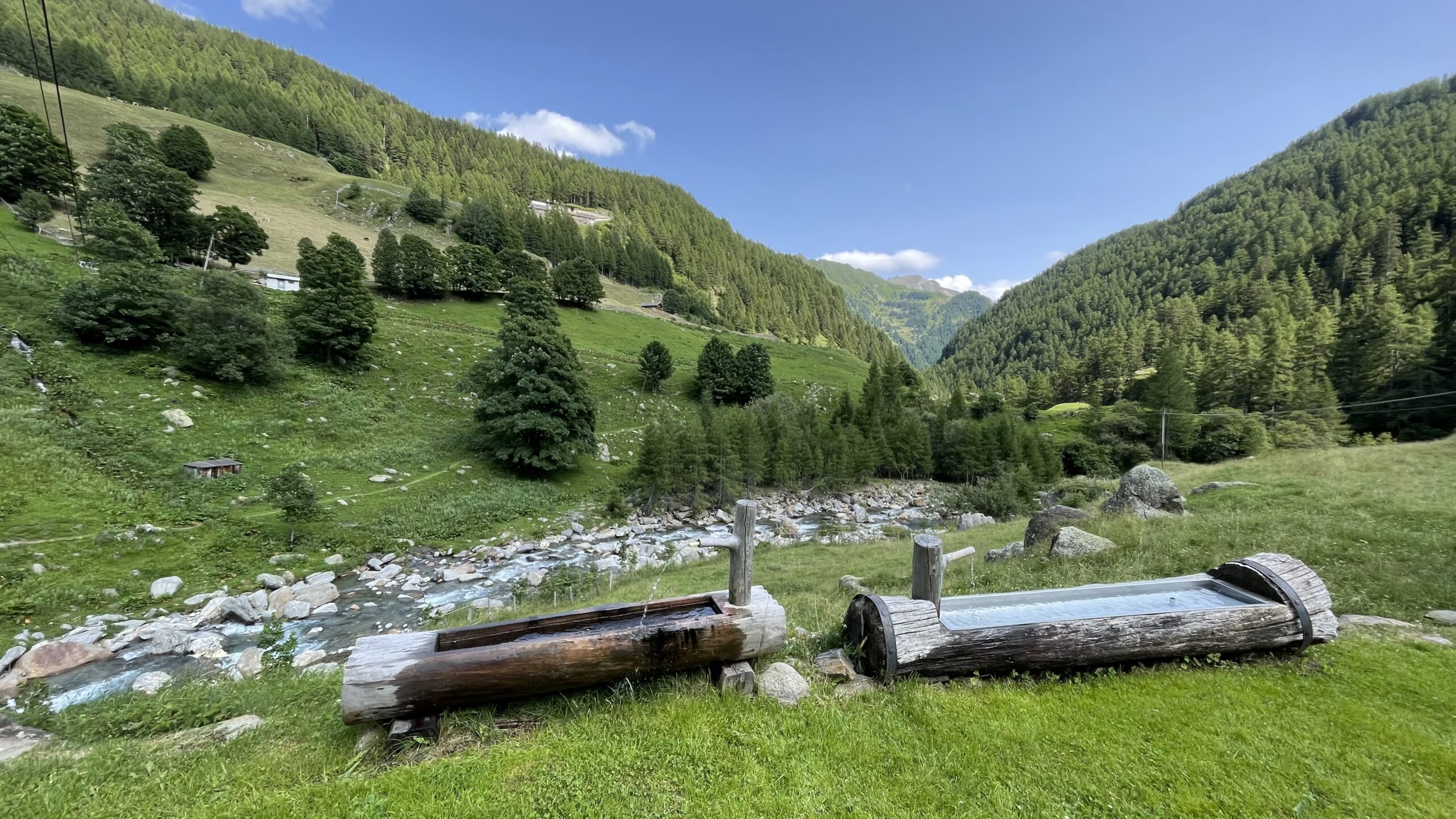
The hike begins in the village of Zwieselstein at the bus stop next to Hotel Post. Fresh water can be filled at a nearby fountain. Follow the pavement about 50 metres further into the valley to the bridge, then turn left shortly before it onto Hochstattweg in the direction of Timmelsjoch/Passo del Rombo (Ötztaler Urweg No. 12).
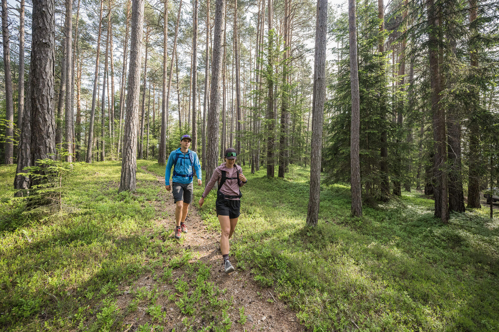
At first, the forest road climbs steeply, then gradually levels out and eventually turns into a hiking trail. Follow the Gurgler Ache into the Timmel Valley. After around 2 km, turn left toward “Timmelsjoch E5”. The path continues steadily uphill along the Timmelsbach, at times quite steep. After about 3 km, you reach a forest clearing with a rest area.
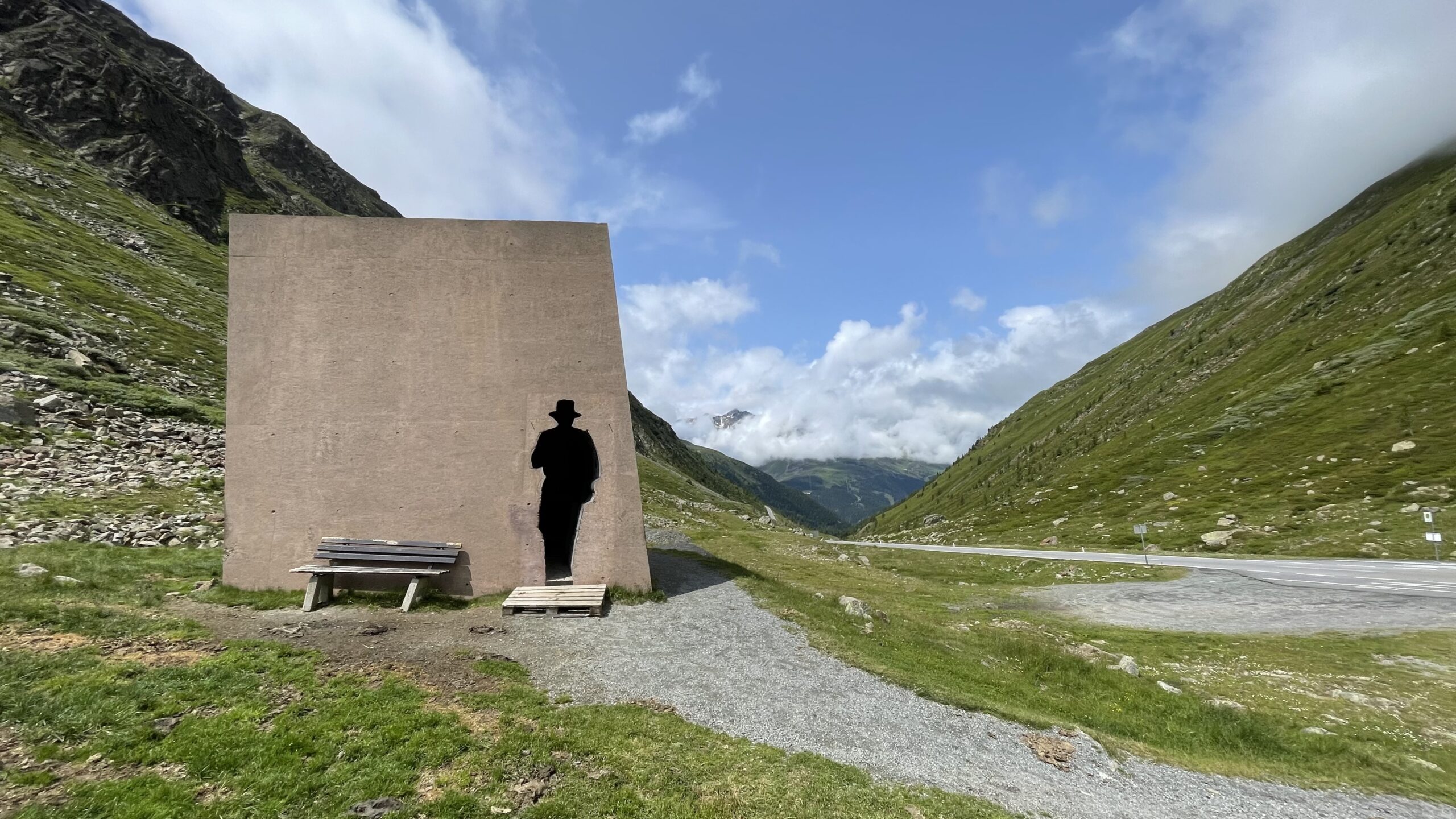
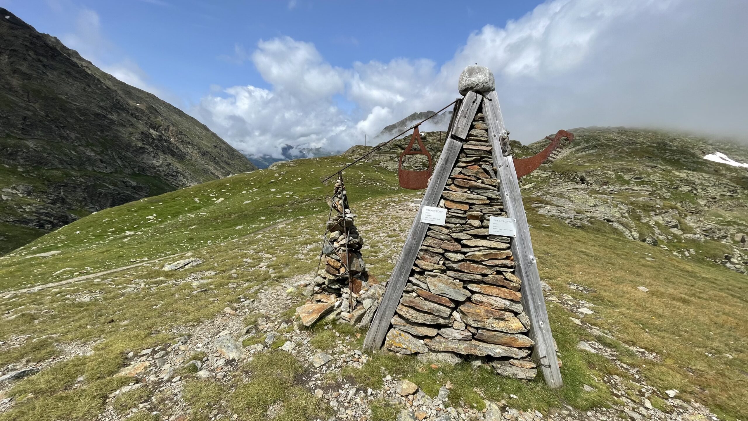
After roughly 3.5 km, you leave the forest and reach alpine meadows at around 2,000 metres. Signposts are sparse, but markings on large stones guide the way. After about 5.5 km, you pass the smuggler monument. The trail becomes increasingly steep, and after nearly 10 km you reach the Timmelsjoch/Passo del Rombo at 2,474 metres—the highest point of the stage and the crossing of the main ridge of the Alps from North to South Tyrol.
On the southern side, a narrow and steep path leads down along the historic Timmel Valley route beside the Timmelsjochbach/Rio del Rombo toward Timmelsbrücke. Wooden signs mark the border crossing into South Tyrol. About 15 minutes above Timmelsbrücke, you can take a right-hand variant to the Hochfirst Inn, rejoining the main trail about 30 minutes later.
Following the original route, continue from Timmelsbrücke along the Timmelsjoch/Passo del Rombo road for about 800 metres toward Rabenstein/Corvara in Passiria until a sharp left bend, where trail No. 29 branches off. This leads down over meadows to a forest track, continuing along the Passer River/Torrente Passirio toward Rabenstein/Corvara in Passiria.
Shortly before reaching the village, a hiking trail shortcuts the forest road and leads to an asphalt road in the hamlet of Bichl/Colle. From here, it is only a few minutes to Rabenstein/Corvara in Passiria.
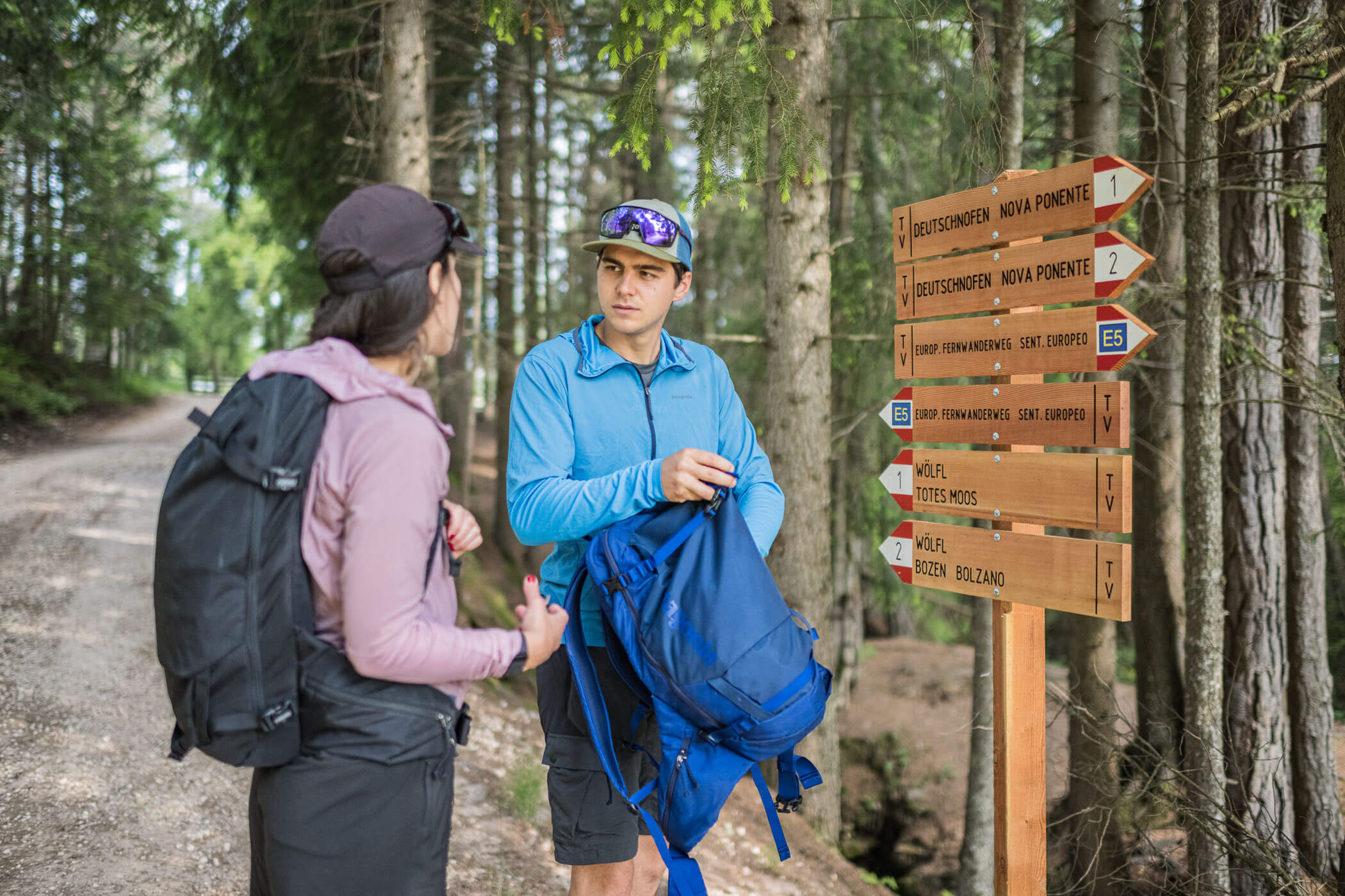
In the village, at a sharp left bend after the cemetery, continue straight onto a smaller road. The E5 now follows part of the Kummersee circular trail. After 200 metres, turn onto a path descending to the Passeier River. From here, the trail—alternating between path and forest road—leads along the Passer all the way to Moos in Passeier/Moso in Passiria.
Shortly before the end, information boards provide details about upcoming stages. The final section follows the themed “Ibex Trail”, passing the Bunker Mooseum, before the stage concludes in the centre of the charming village of Moos in Passeier/Moso in Passiria.