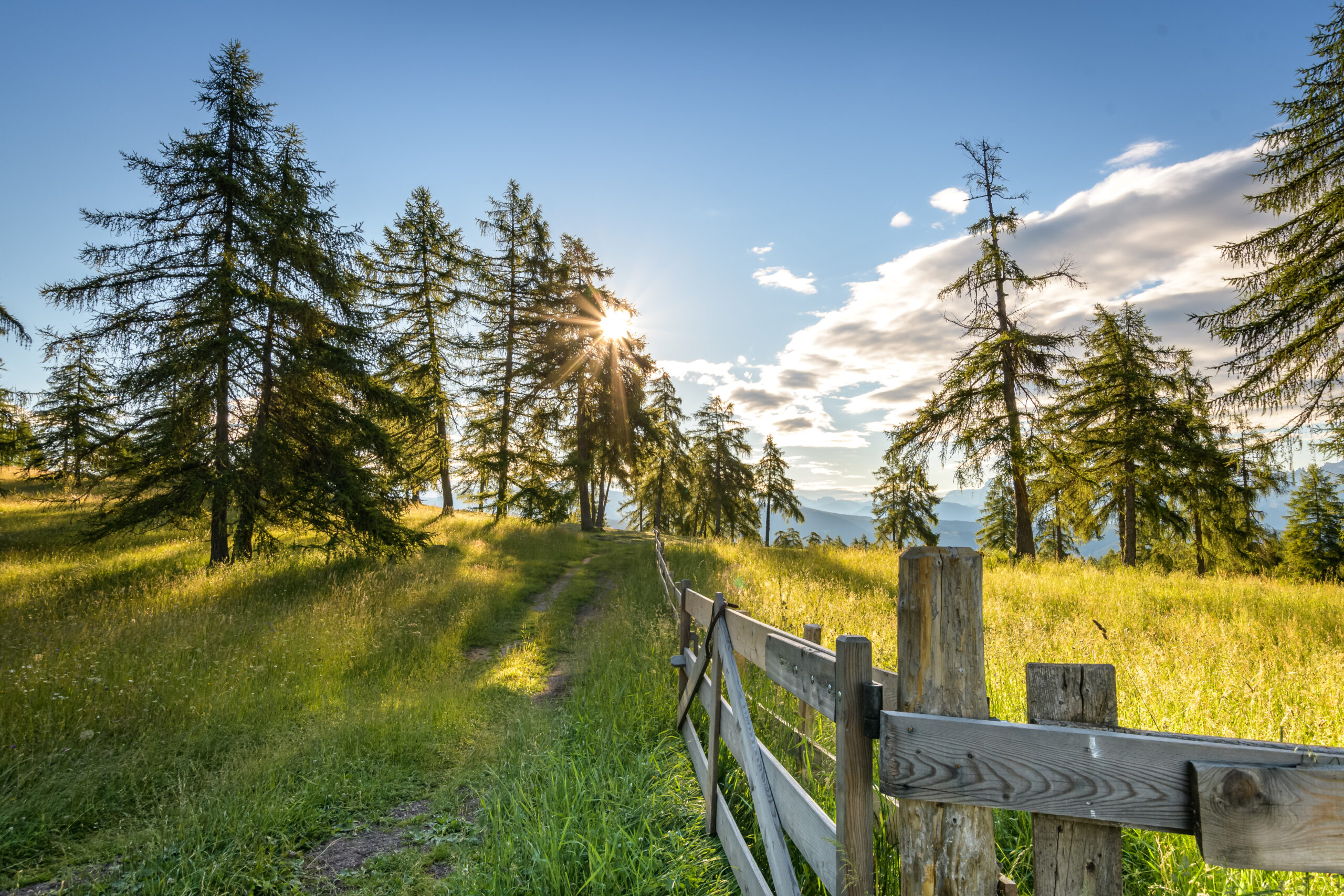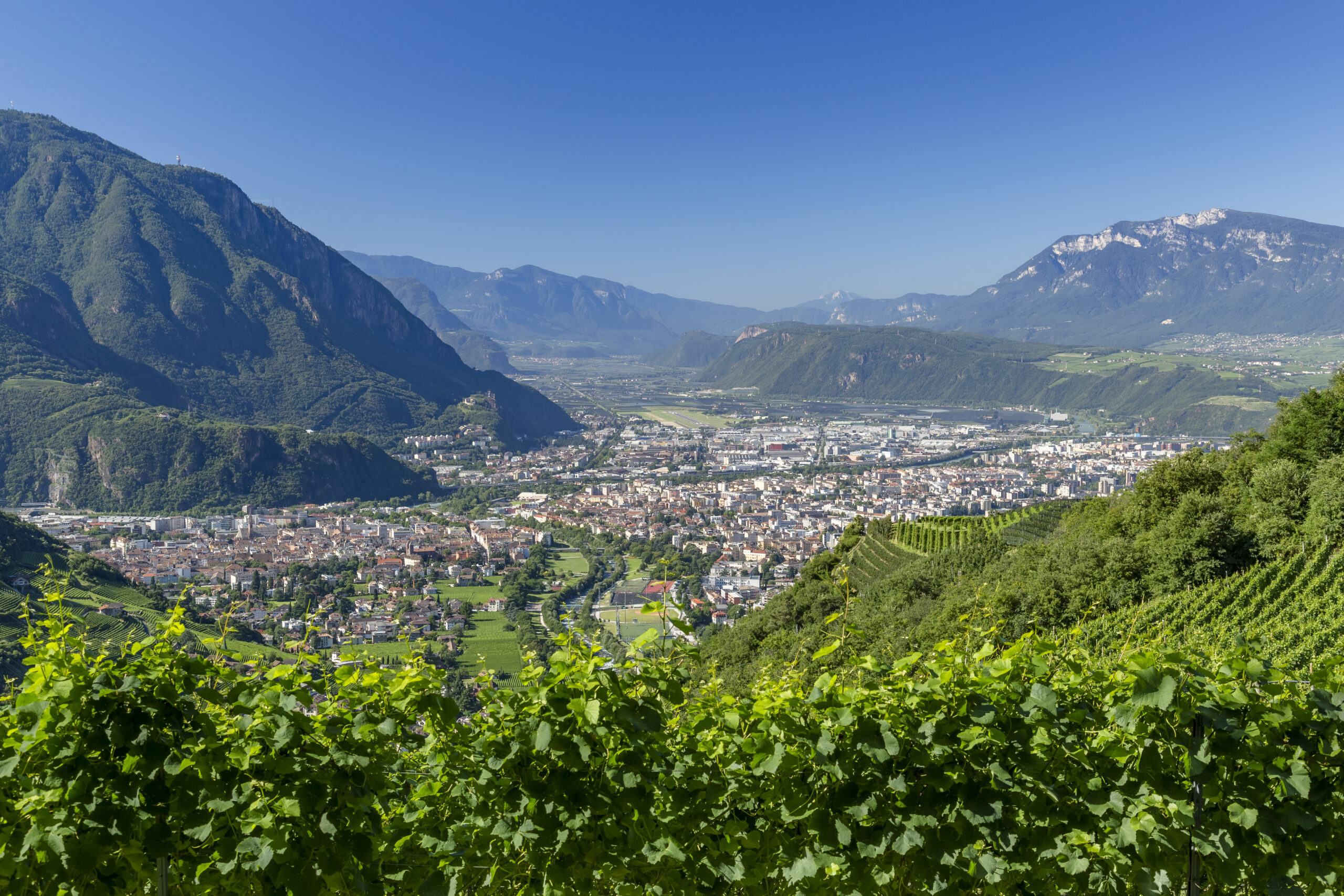
Between two worlds of South Tyrol – or right through its centre: from the mountain village of Jenesien/San Genesio Atesino down into the vibrant heart of South Tyrol in Bozen/Bolzano. From the mountain hamlet of Bauernkohlern/Colle (reachable on foot or by cable car), continue in peaceful surroundings across the gentle high plateau of the Regglberg/Monte Regalo to the idyllic mountain village of Deutschnofen/Nova Ponente.
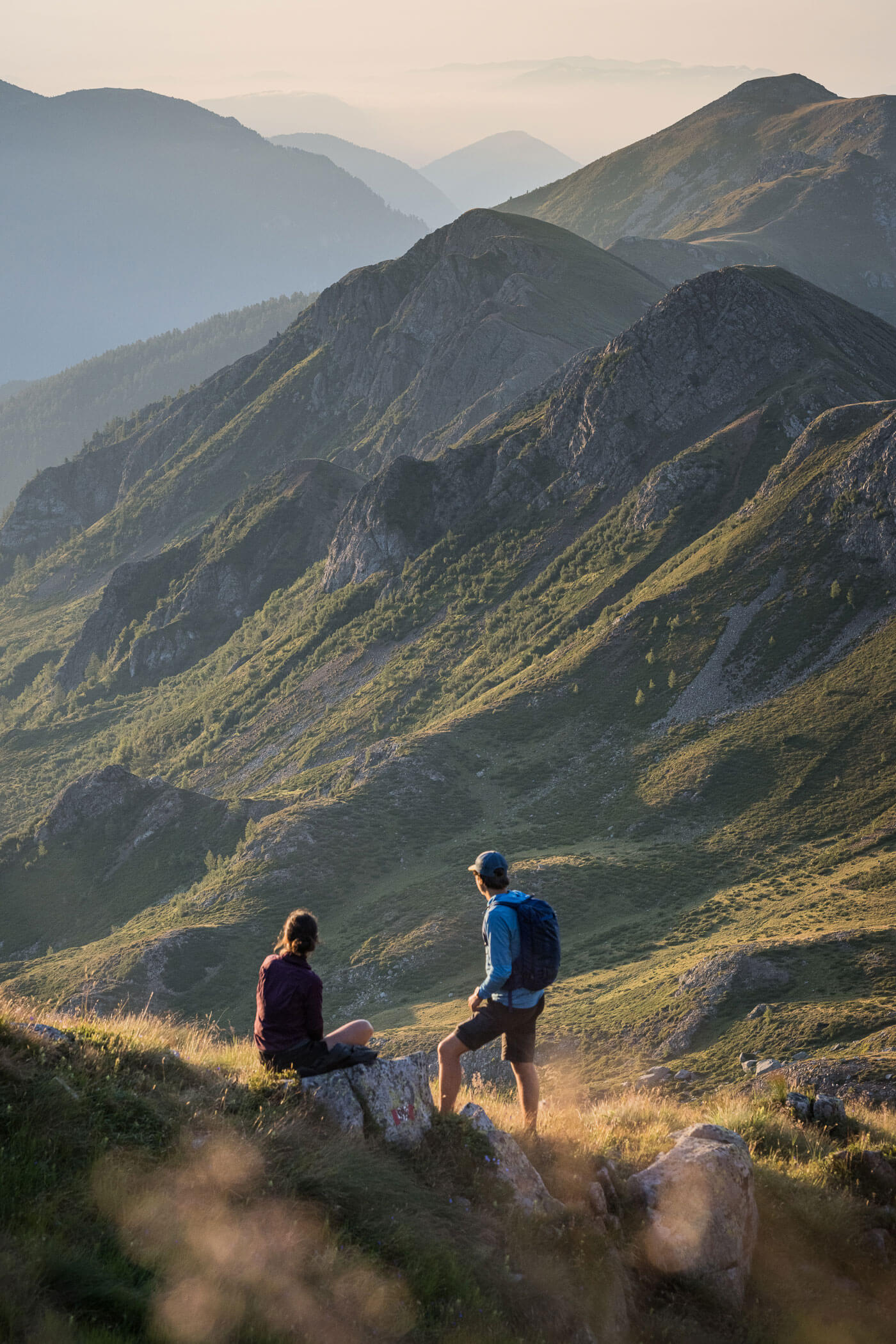
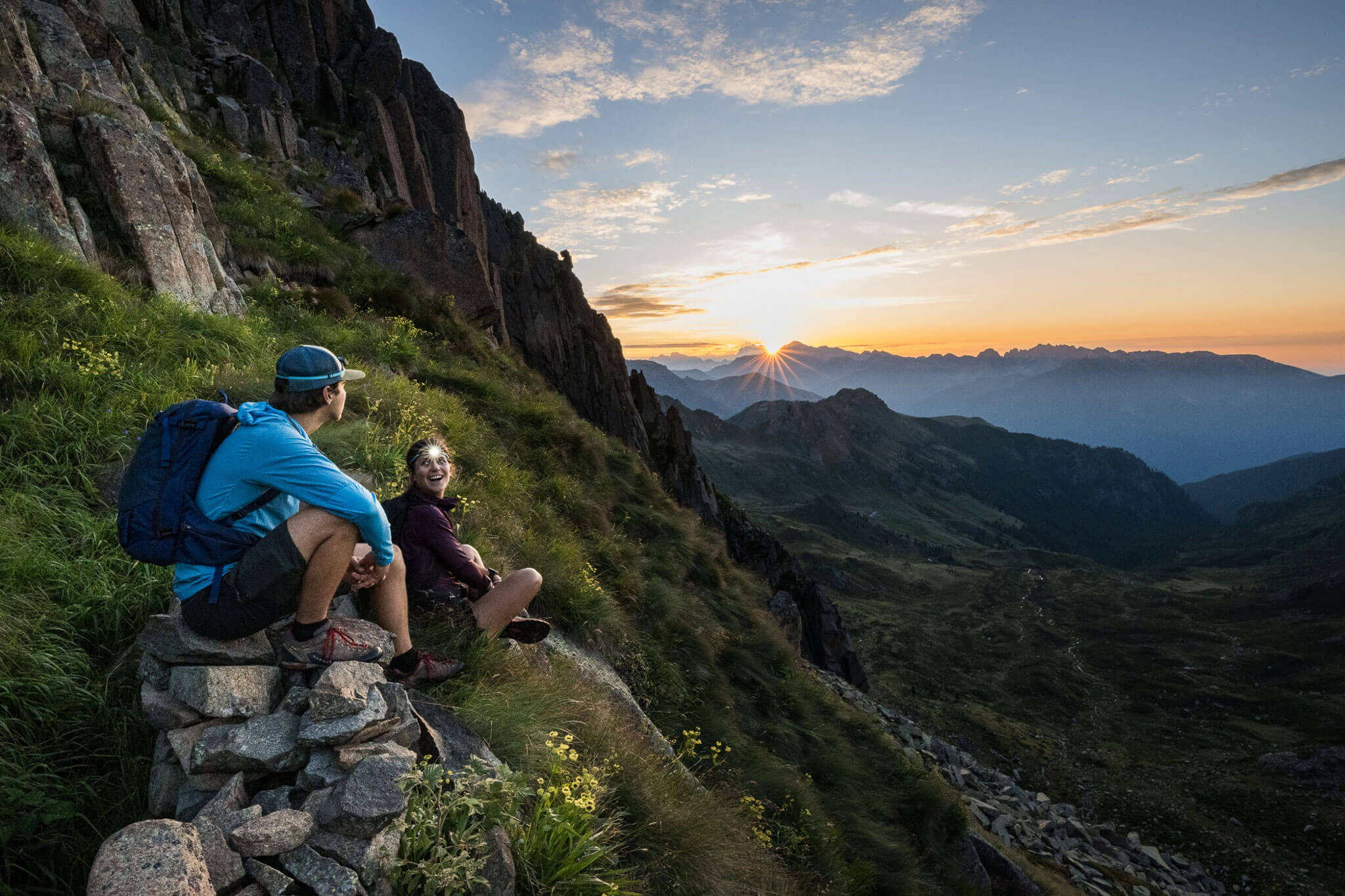
After the alpine stages between Zwieselstein and Meran 2000/Merano 2000, where the stunning mountain worlds of the Ötztal and Sarntal Alps could be enjoyed, this stage becomes more gentle in character: starting from the mountain village of Jenesien/San Genesio Atesino, the route descends comfortably down to Bozen/Bolzano, with magnificent views of the Dolomites throughout.
In Bozen/Bolzano, the lively centre of South Tyrol, it’s time to stroll: the route follows the scenic Talfer promenade straight through the old town and across Obstmarkt to the valley station of the Kohlerer cable car on the opposite side of the city. Instead of walking, this steep ascent of around 800 vertical metres can optionally be overcome using the cable car—a good option, as this stage is otherwise easy (T2) but very long.
Once leaving the upper station, tranquillity quickly returns: the village of Bauernkohlern/Colle and its surroundings provide a peaceful contrast to the city. You are now at the edge of the Dolomites, travelling across a kind of mid-altitude plateau in a gentle alpine landscape, framed by the rugged peaks of the Dolomites.
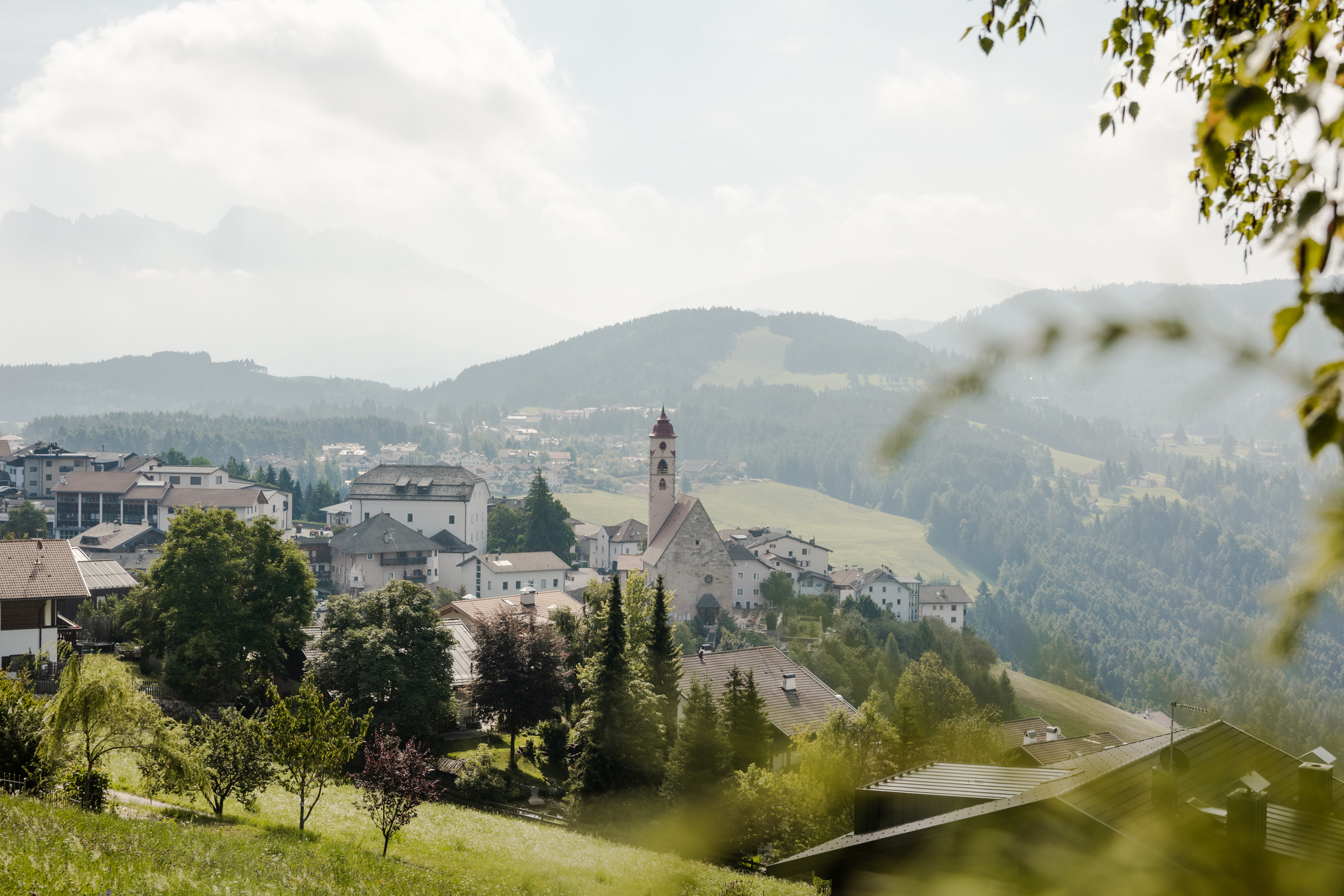
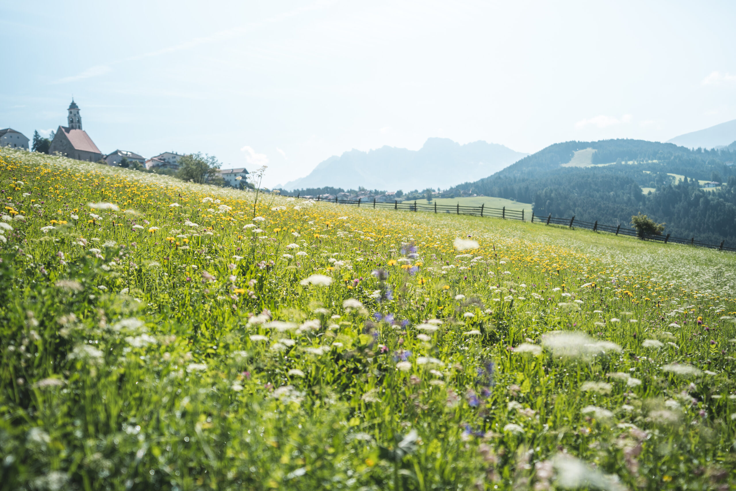
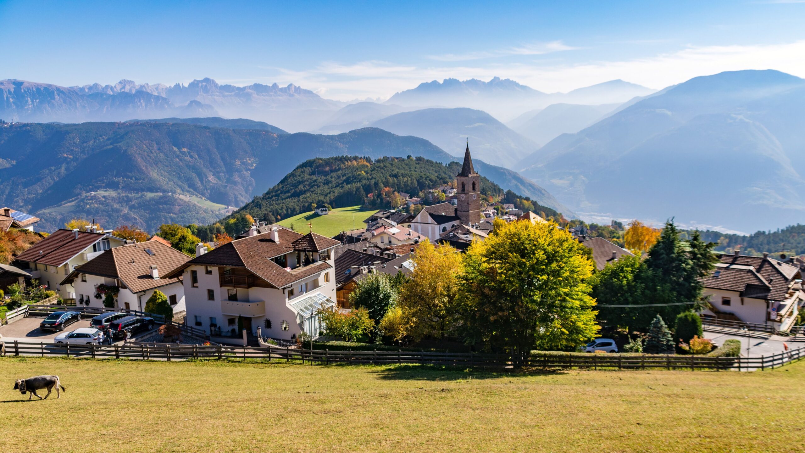
The stage destination, Deutschnofen/Nova Ponente, is a charming village perfectly embedded in the South Tyrolean landscape and inviting you to relax.
Description
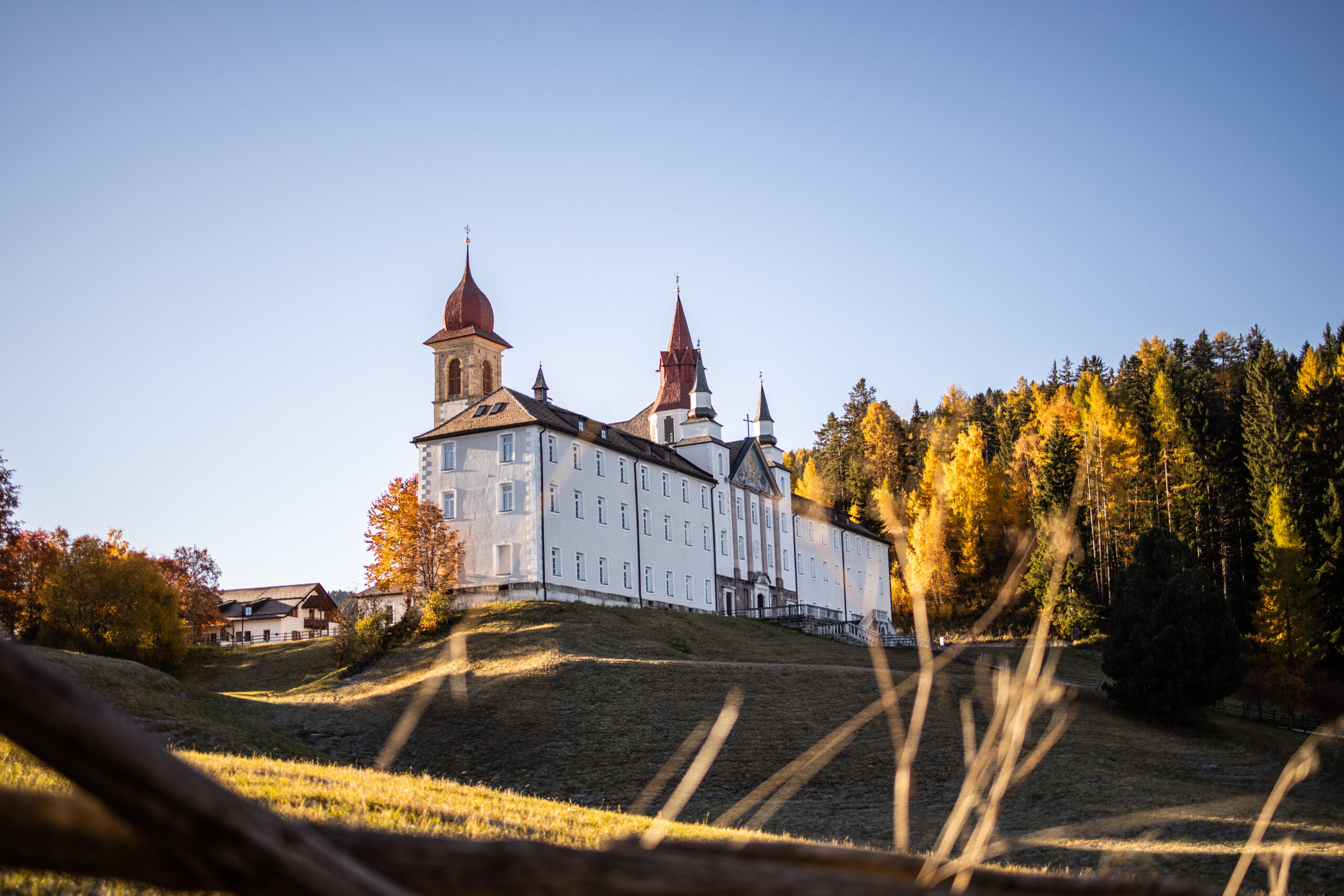
The starting point of this stage is the car park at the “Lintnermoos” bus stop in the Grumen district below the village centre of Jenesien/San Genesio Atesino, a picturesque mountain village above Bozen/Bolzano. Right from the start, you are rewarded with impressive views of the Dolomites.
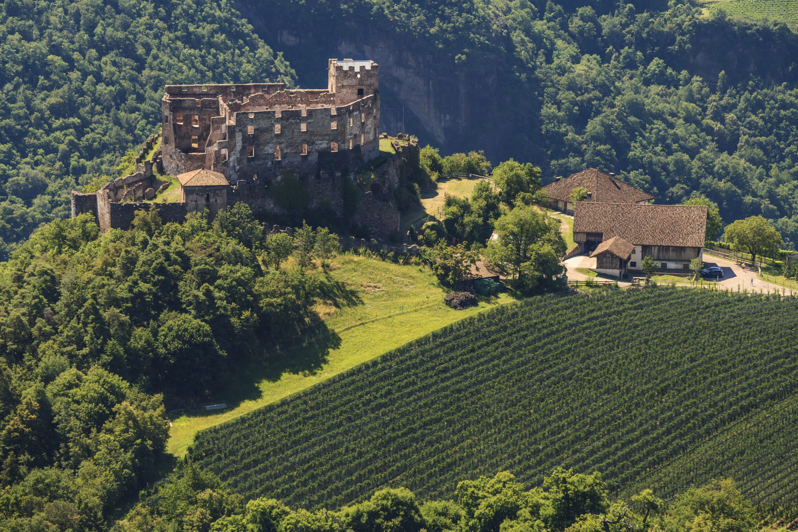
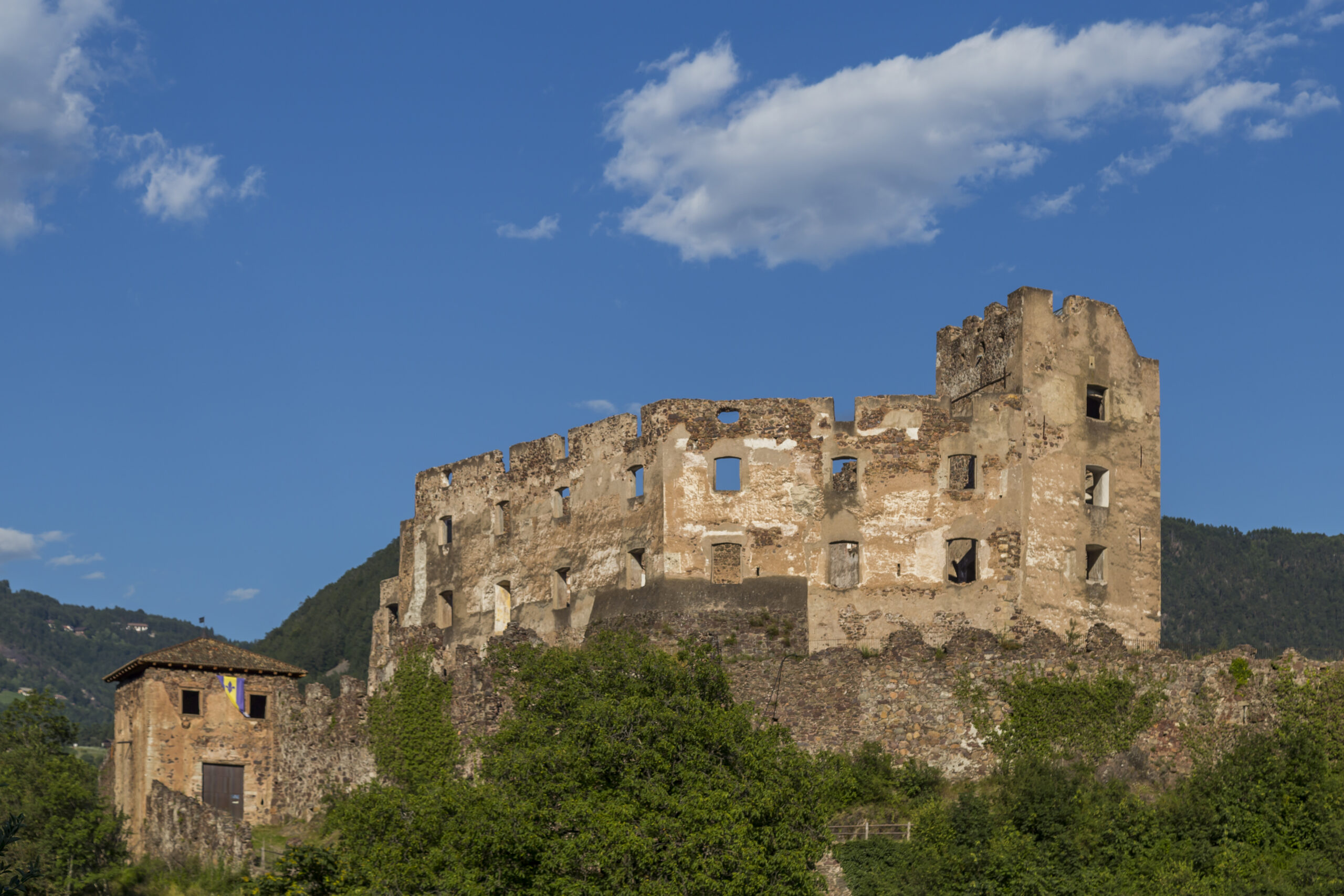
From the car park, follow Pichlweg, a small road heading east. After 100 metres, trail no. 2B branches left across a short clearing into the forest. After about 2 km, you descend along this trail (and shortly afterwards via trail no. 2) to the ruins of Rafenstein Castle, perched on a hill. Right next to the ruins is a restaurant of the same name.
Before the castle ruins, turn left onto the mountain road and follow it (marked as trail no. 2) downhill until reaching the outskirts of Bozen/Bolzano. Once in the valley, pass beneath the Sarntal road and follow the Talfer River/Torrente Talvera along the Talfer promenade. After the second bridge, continue on the opposite side of the river towards the town centre until reaching Talfer bridge (the first road bridge).
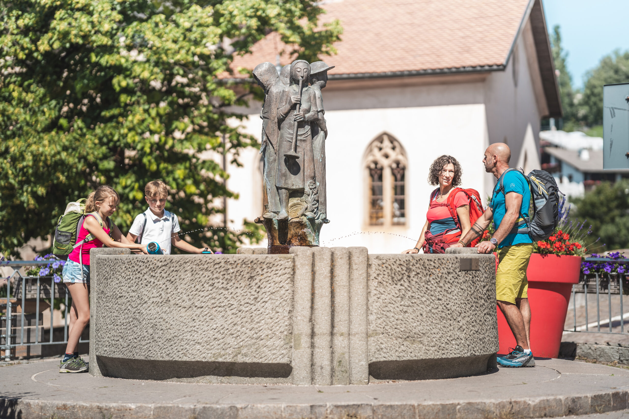
Here, turn left towards the old town and continue via Museumstraße to Obstplatz, known for its classic market stalls offering a colourful variety of fruit and vegetables. Cross the square to the right, and after 150 metres turn left through Mustergasse to reach Waltherplatz, the heart of Bozen/Bolzano, dedicated to Walther von der Vogelweide. Numerous restaurants, cafés and pizzerias line the square. Cross it diagonally.
Continue left along Raingasse and then right onto Laurinstraße, which leads directly to Bozen/Bolzano railway station. The E5 then follows Rittnerstraße to the left as far as the valley station of the Ritten cable car. Signposts now direct you right towards Bozner Boden and, after crossing the tracks, left along Schlachthofstraße.
From a large roundabout, exit diagonally left. Shortly afterwards, cross the Eisack River/Fiume di Sarco via Ödenburger Straße and Kampil bridge. Continue under the motorway to reach the valley station of the Kohlerer cable car—and thus the end of the city of Bozen/Bolzano.
Below the cable car, a path branches right (west) and climbs up the ridge west of the cable car, continuing steeply and finally passing beneath the cable car line up to the mountain station, where a wooden observation tower offers fantastic panoramic views.
After about 500 m, you reach the village of Bauernkohlern/Colle. Keeping left along the road, after another kilometre you reach Herrenkohlern/Colle dei Signori. A forest track then leads gently uphill for about 2.5 km to Wolfstal Alm, where regional specialities and traditional dishes can be enjoyed.
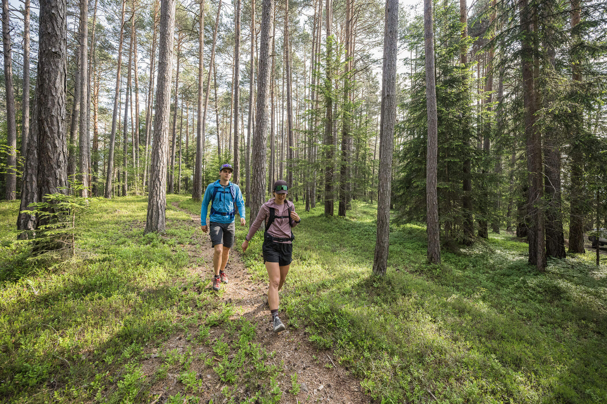
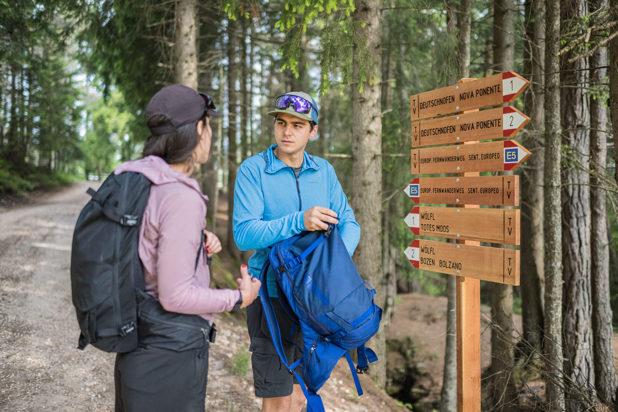
From there, continue along the forest road to the “Totes Moos” biotope. Follow the forest road left for about 1 km, after which it turns into a hiking path for around another kilometre before briefly reaching an asphalt road near Stanerhof.
From there, the E5 turns left onto a hiking path, leading downhill through forest to the Tschinggermoor biotope.
Here, the route follows an asphalt road for about 300 m to the right before turning left again onto a forest path leading to Wölflhof, a good place for a break.
Many paths intersect at Wölflhof: pass through the farm and follow the road for a few metres to a right-hand bend. Here, a forest road (no. 3) branches left, and immediately afterwards a path (no. 1, 2 & E5) branches right. This route continues for about 150 vertical metres, alternating between hiking trail, forest track and eventually road, gently ascending through meadows and forests.
After about 2 km, you reach the stage destination in Deutschnofen/Nova Ponente.