Panoramic trails, alpine pasture charm and views of the Dolomites: the E5 stage from Meran 2000/Merano 2000 to Jenesien/San Genesio Atesino combines relaxed scenic paths with authentic South Tyrolean enjoyment.
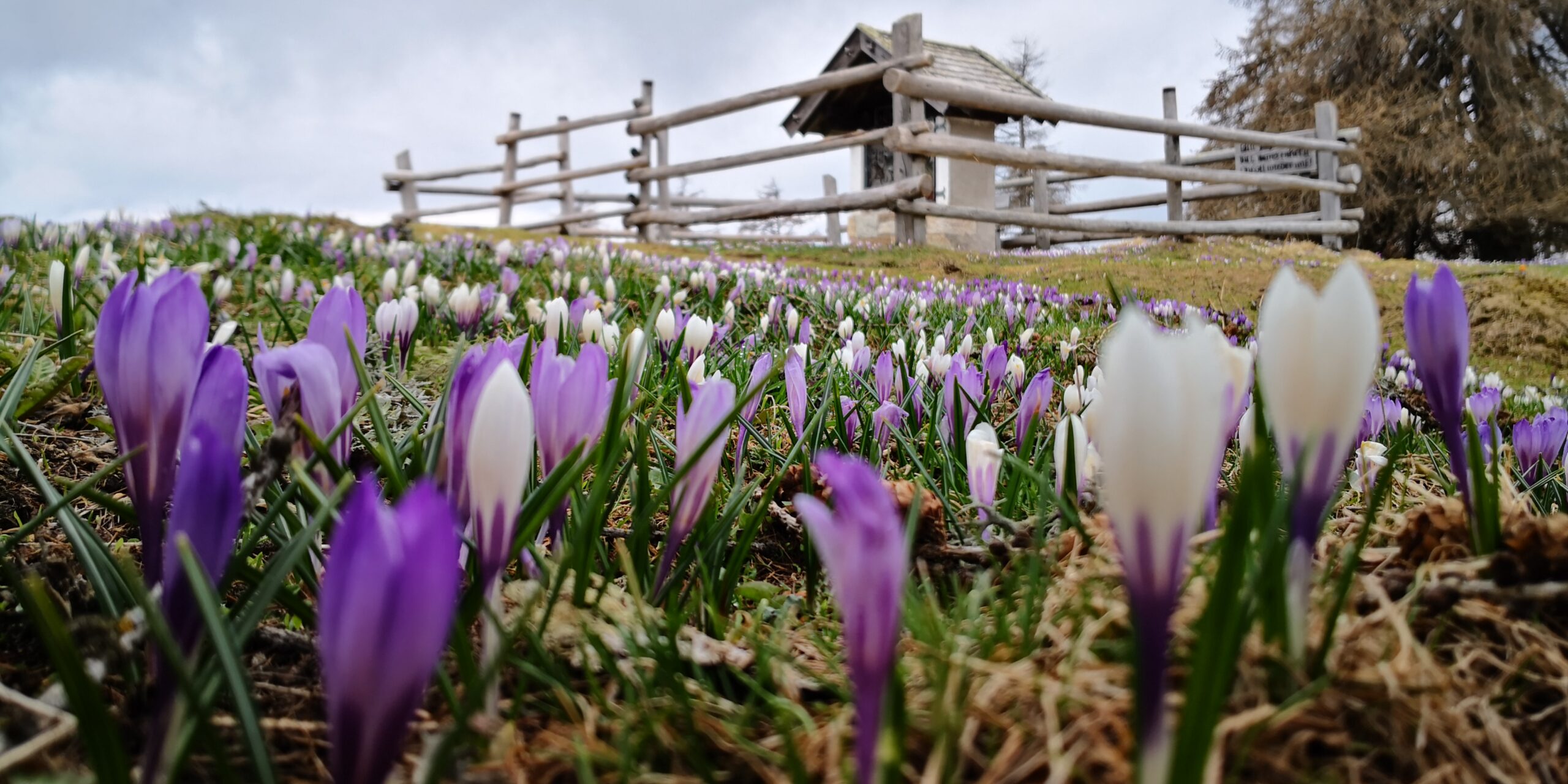
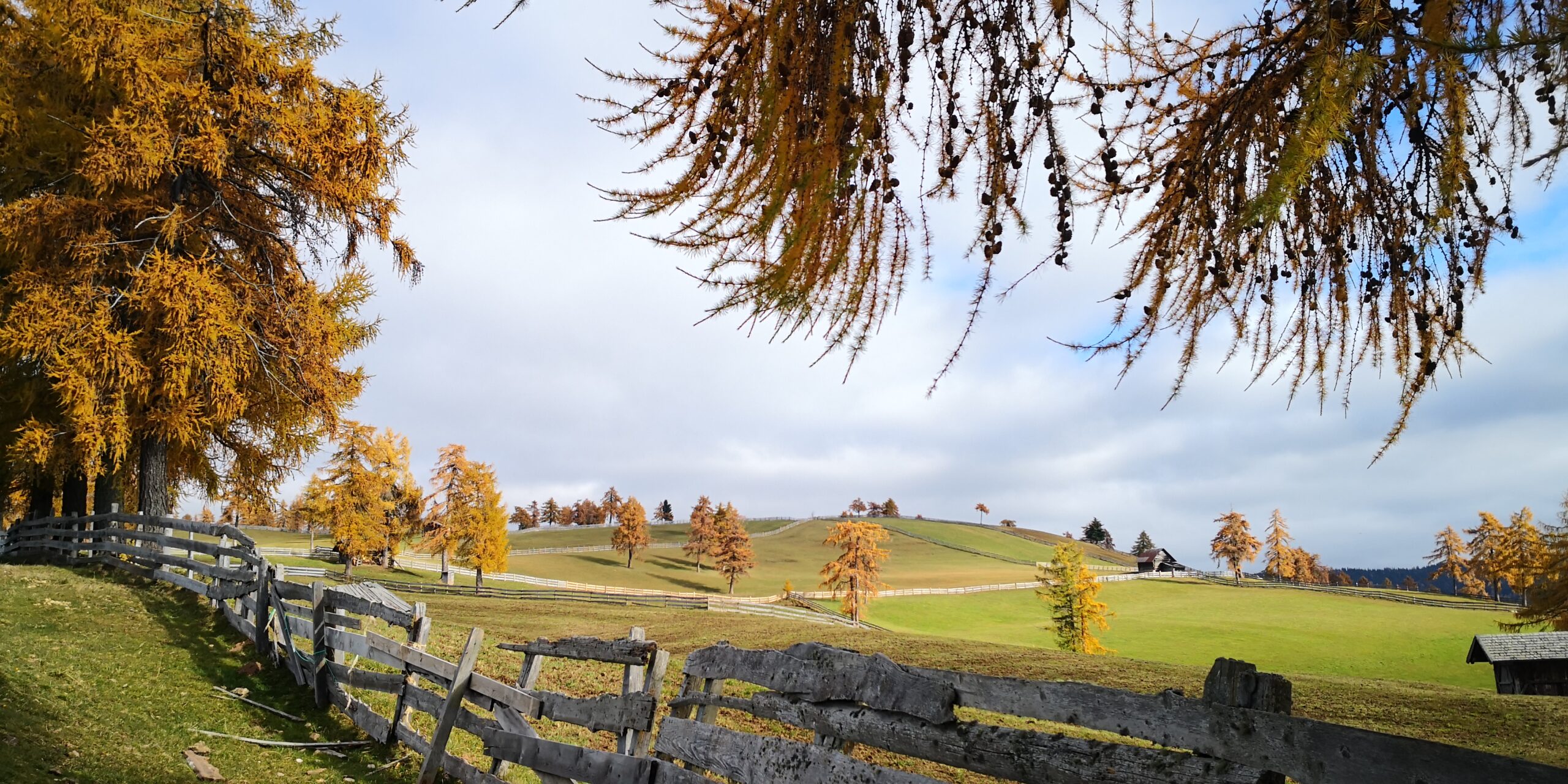
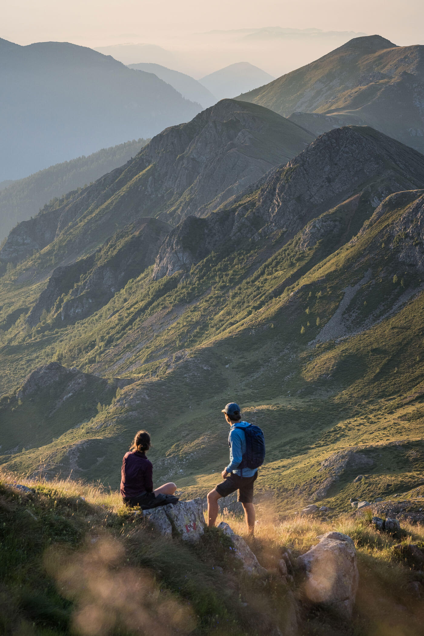
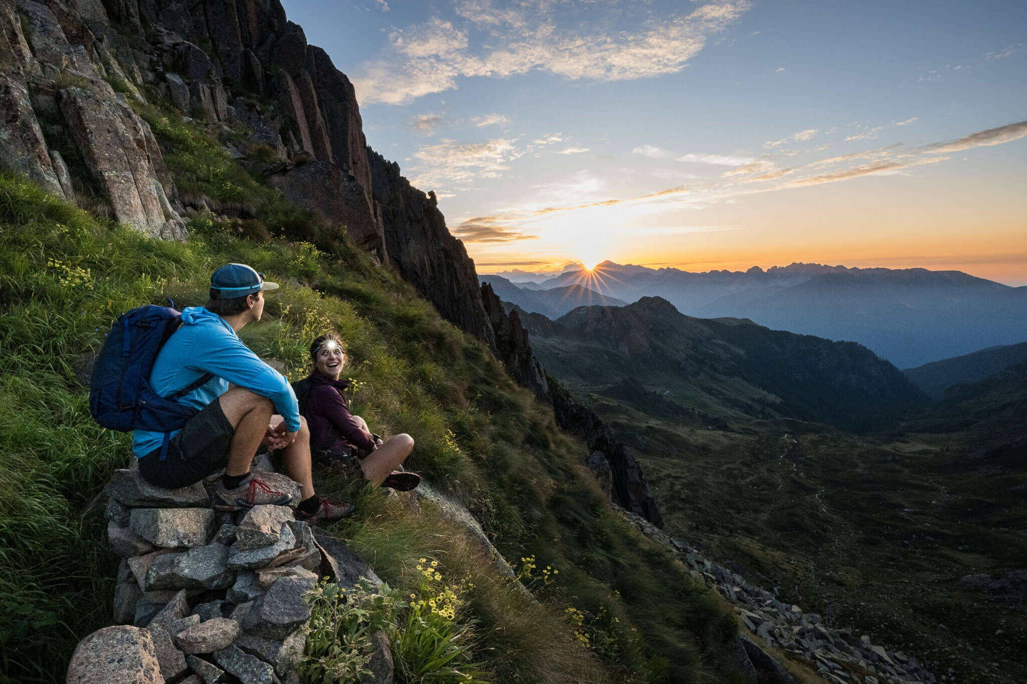
The stage from Meran 2000/Merano 2000 to Jenesien/San Genesio Atesino connects scenic ridge trails with the distinctive character of South Tyrol’s alpine pasture landscape. Along gentle paths, the E5 passes wide mountain meadows, rustic alpine huts and open larch forests – always accompanied by impressive views of the Dolomites and the Adige Valley.
After the alpine character of the previous stages, the long-distance trail now reveals its more enjoyable side: less steep, but all the more panoramic. Time and again, cosy huts invite hikers to stop and enjoy regional specialities while taking in the tranquillity of the Sarntal Alps.
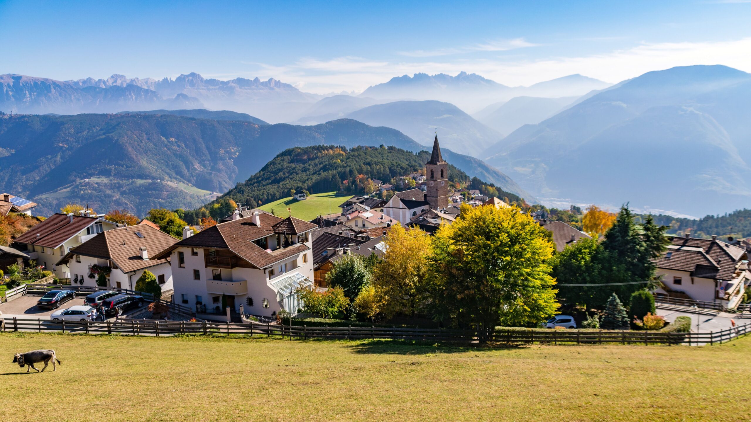
The varied route follows scenic ridgelines and finally descends to Jenesien/San Genesio Atesino, a sunny high plateau above Bozen/Bolzano. A stage for those who want to combine nature enjoyment, far-reaching views and South Tyrolean alpine culture.
Description
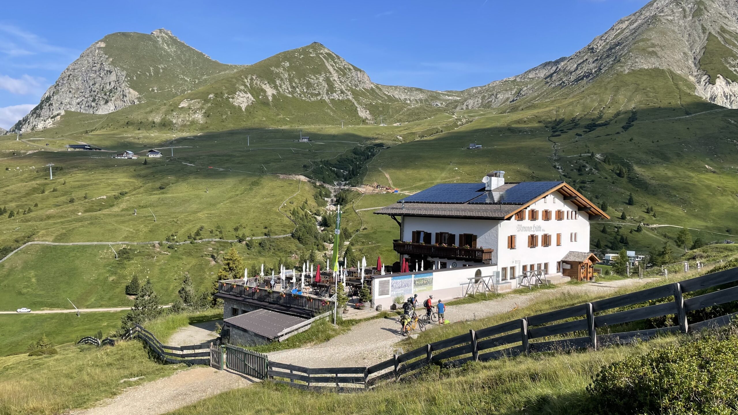
The tour starts at Meraner Hut, where you should make sure to stock up on sufficient water, as there are no refilling opportunities for the next 9 km.
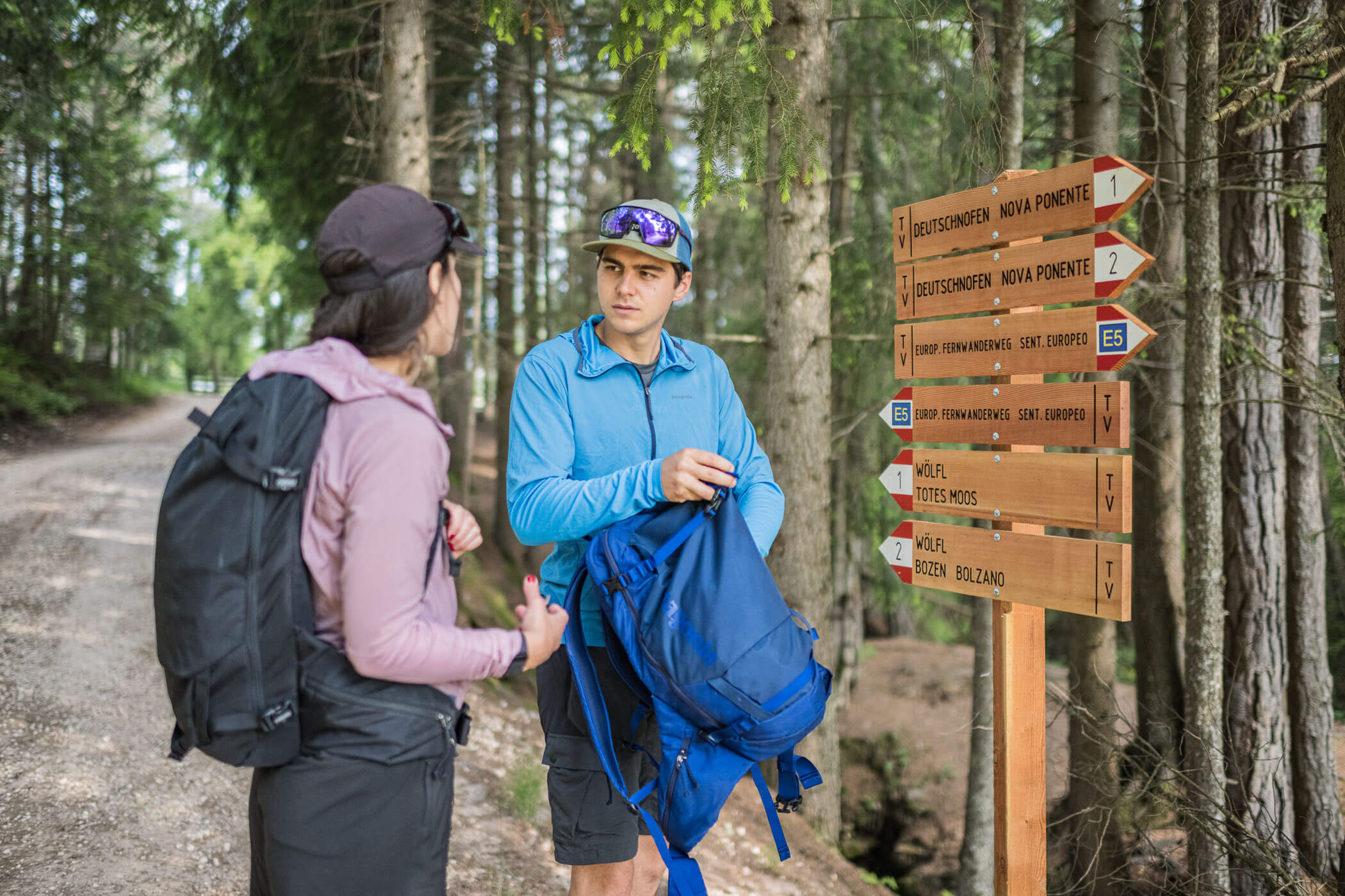
First, follow the forest road heading south (to the right when leaving the hut), and after 500 m turn right towards Kreuzjoch/Giogo della Croce (trail no. 4; initially along an alpine road that soon becomes a hiking path).
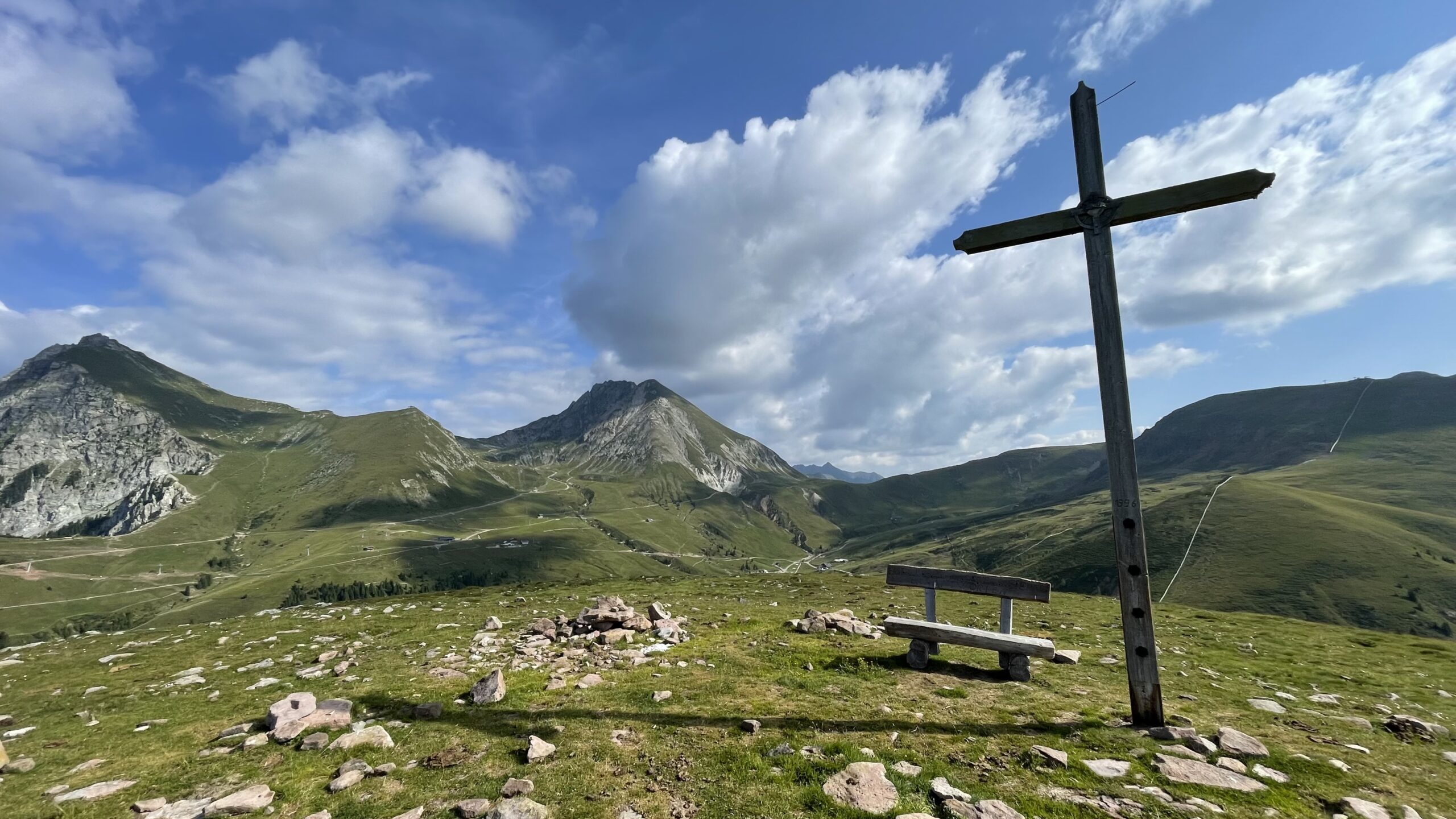
A detour to the 2,080 m-high Spieler summit, located just west of the path, is well worthwhile. At the top, a magnificent panorama awaits, along with a bench inviting you to rest.
Continue along the ridge, first descending to Kreuzjöchl/Passo della Croce (1,984 m), then continuing in the same direction with a gentle ascent to the 2,086 m summit of Kreuzjoch/Giogo della Croce. At the top, a spectacular 360-degree panorama platform offers a final view back towards Meran 2000/Merano 2000, before the route continues along the ridge. At a fork, keep left on trail no. 4 and descend to Auener Jöchl/Giogo dei Prati (1,926 m).
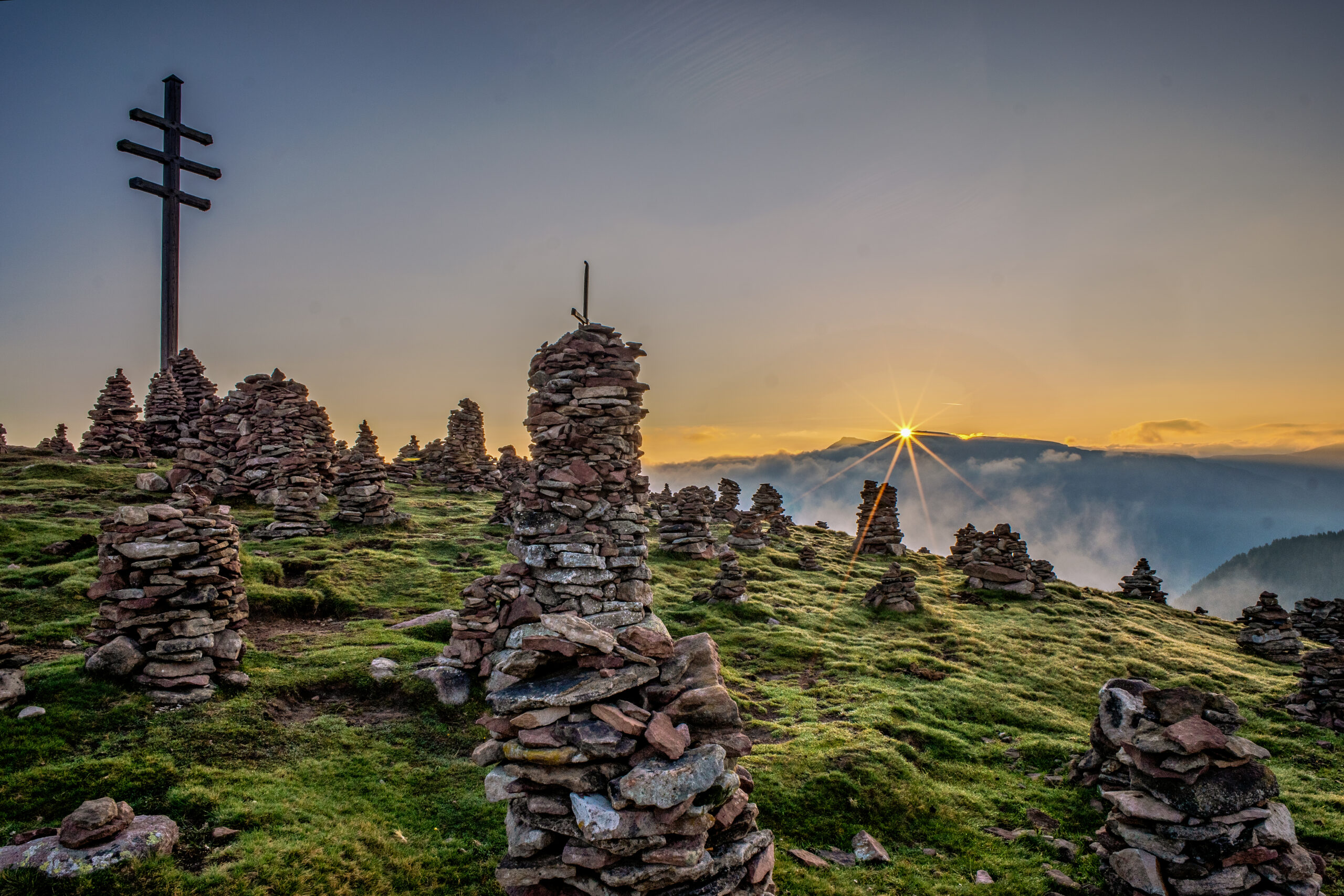
Ignore the paths branching off left and right at the saddle and continue a few metres towards “Stoanerne Mandln.” Here, the main E5 route leads right downhill—but it is highly recommended to take the slightly longer E5 variant via the small summit of the Stoanernen Mandln (Schöneck).
In this case, take the left path (trail no. 11), which first crosses a small but beautiful high plateau where cattle and Haflinger horses graze during summer. After a further ascent of 70 metres, you reach the summit cross of the Stoanernen Mandln (Schöneck) at 2,001 m—surrounded by hundreds of small stone cairns that create a unique and fascinating landscape.
The subsequent path (no. 23A, then turn right onto trail no. 28) descends along the southern ridge to Möltner Kaser Alm (1,763 m), reached after 9 km from the starting point. The alpine hut lies in an idyllic forest clearing and is perfect for a break. Here, for the first time since the start, there is an opportunity to refill water bottles. The E5 variant via the Stoanernen Mandln rejoins the main route here.
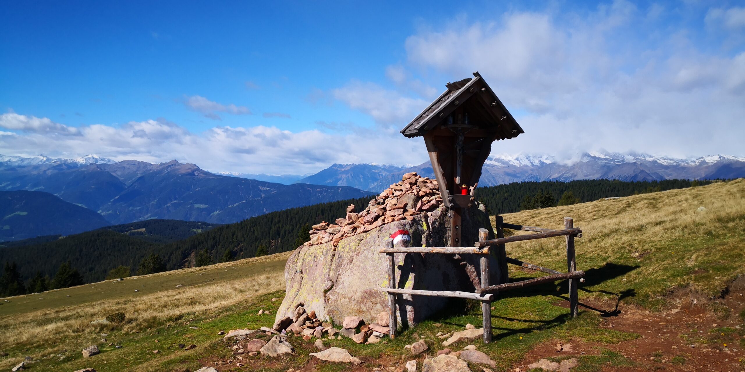
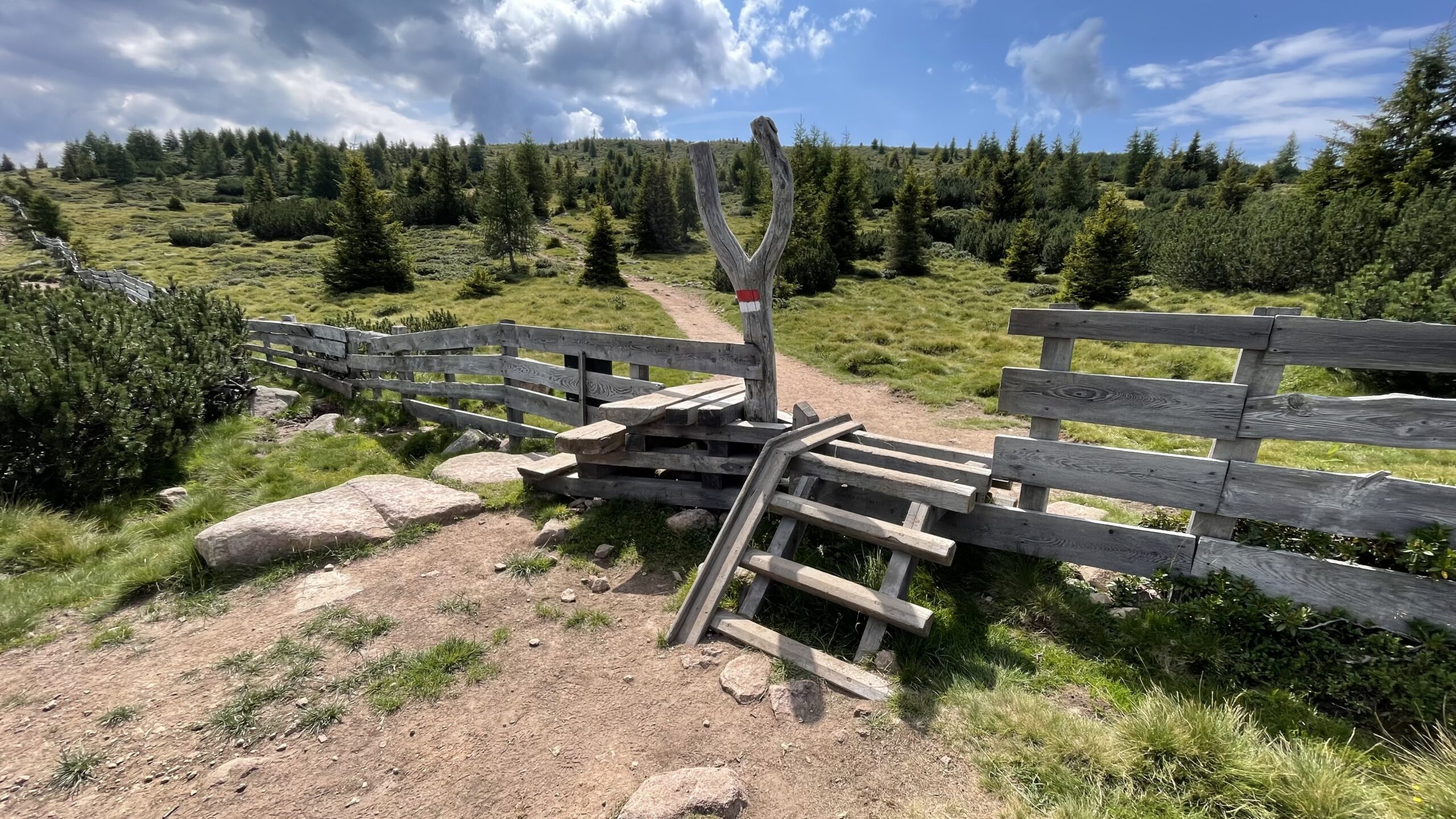
From the hut, a flat forest road continues south towards Salten. After the small summit of Möltner Joch/Monte di Meltina (1,733 m), the trail continues south past beautiful alpine huts and large wayside crosses lining the route. At the first fork, the E5 follows the left path, then shortly after switches to the right path.
You reach a forest road running across your path, which you follow briefly to the left before turning right onto trail no. 1. You then pass the Schermoos car park and turn left, ascending to St. Jakob Church (S. Giacomo Church), where another viewpoint and a small inn are located.
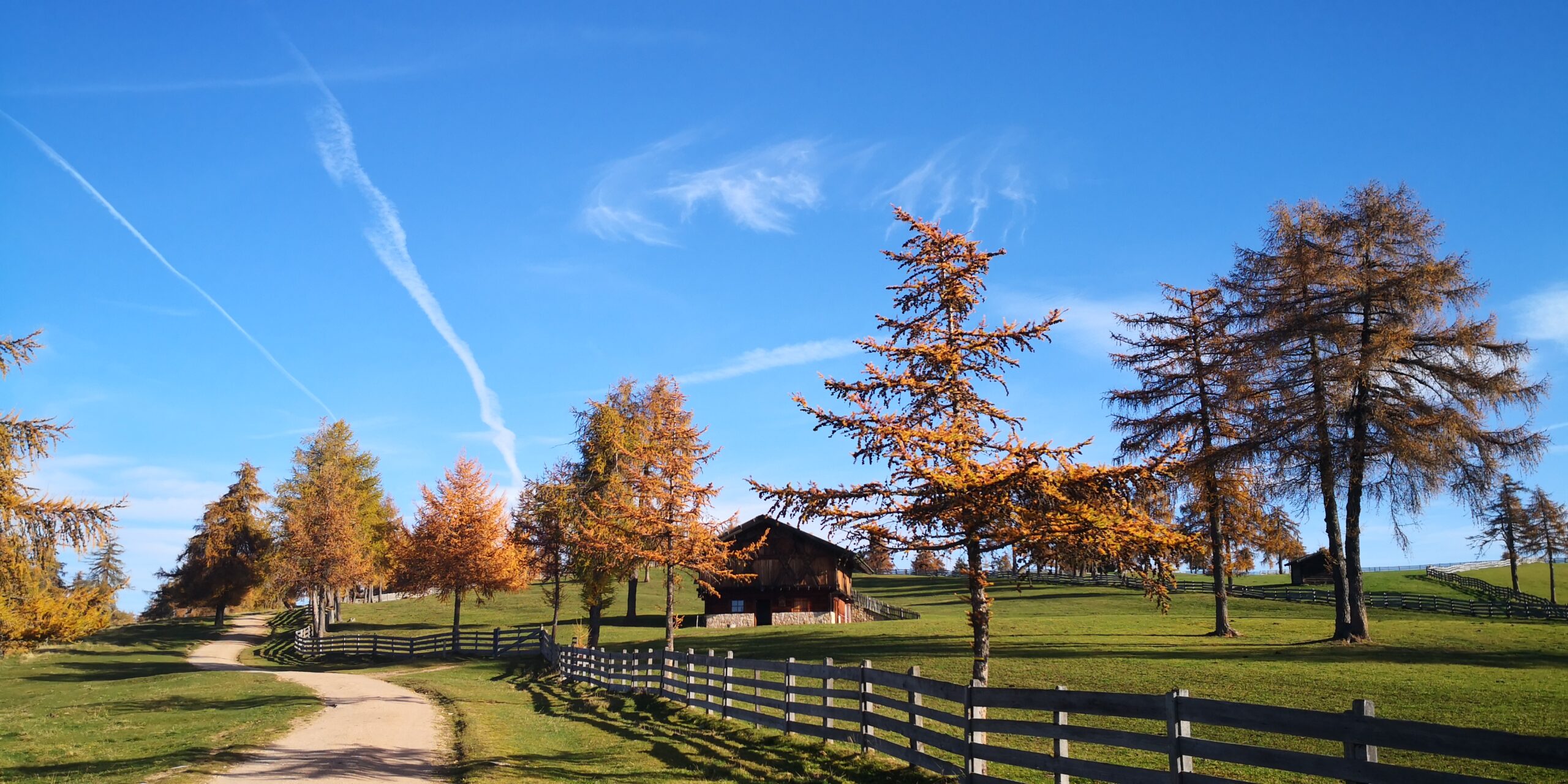
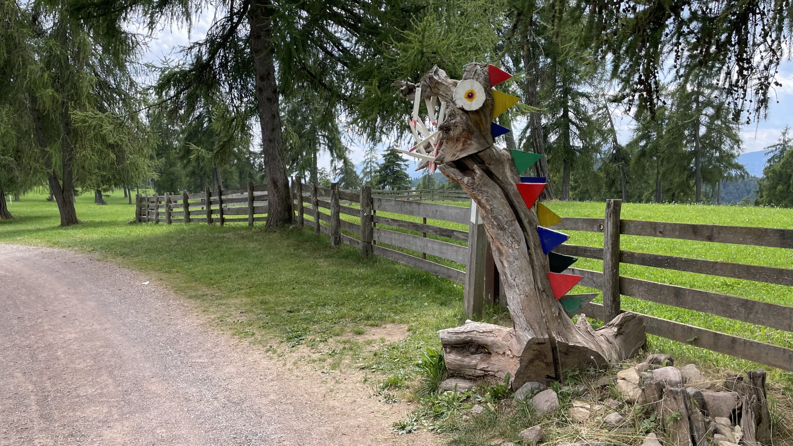
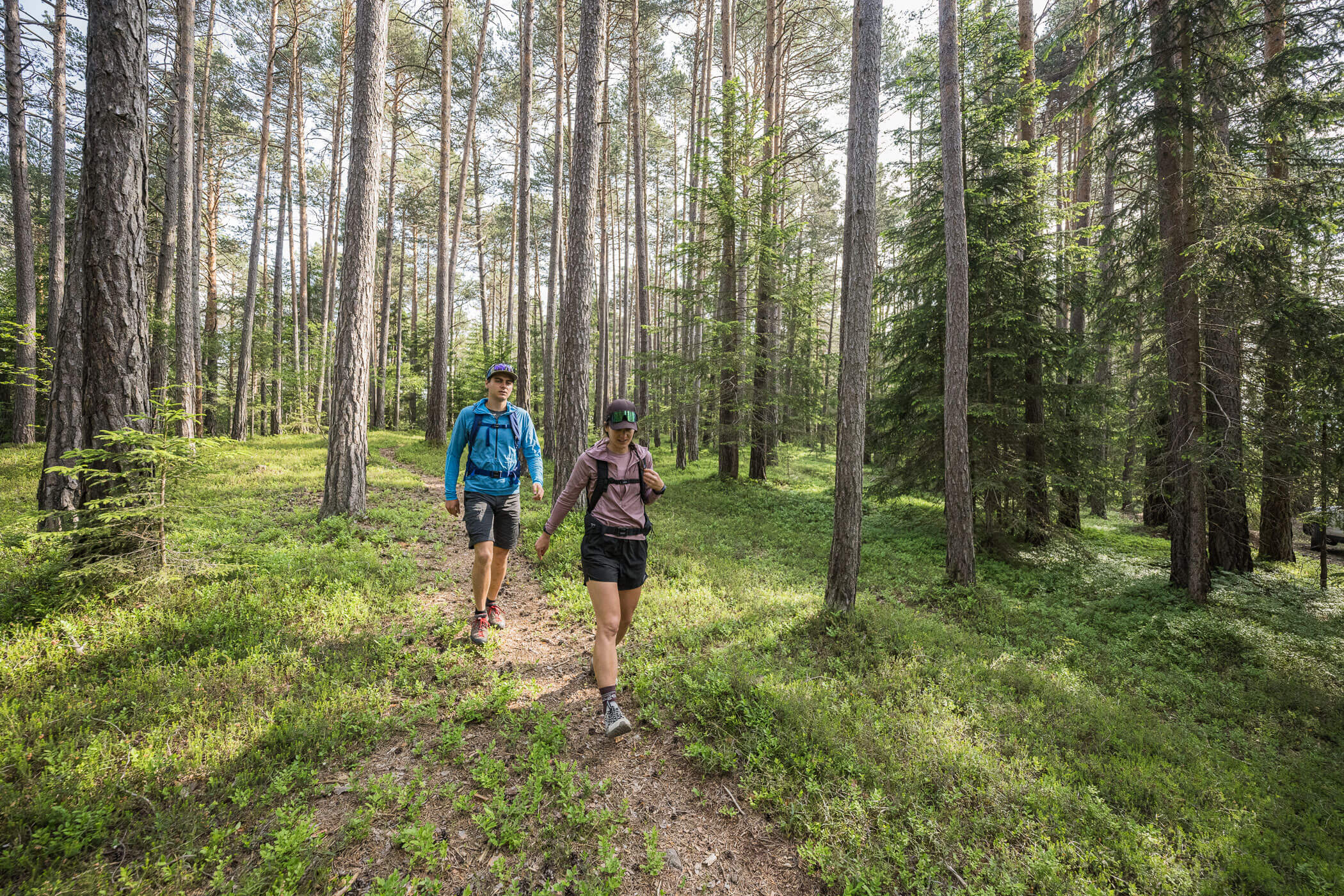
Trail no. 1 continues in the same direction, gently descending through a picturesque avenue of larch trees and across dense meadows and forests. A “legend trail” (Sagenweg) accompanies E5 hikers along the gentle ridge of the Langfenn meadows, passing the mythical Rabenbühel, around which many old witch legends are told.
After just under 20 km from Meraner Hut, the legend trail ends and you reach an asphalt road. After a short detour to the Edelweiss inn, turn right and follow the Guggenweg (trail no. 33), which leads through the forest down to another asphalt road. Along the way, a stop at the Wietererhof farm tavern is recommended.
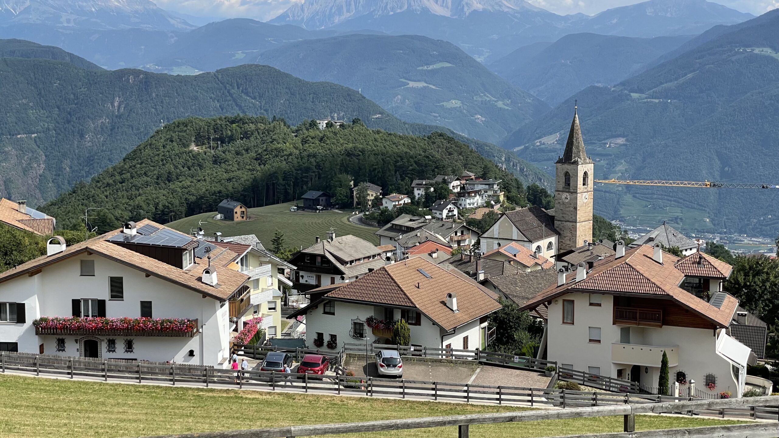
Turn right onto the asphalt road and continue to reach the village of Jenesien/San Genesio Atesino after a varied day full of breathtaking views and memorable experiences.