Crossing the Allgäu Alps from Oberstdorf to the Lech Valley (original E5 route)
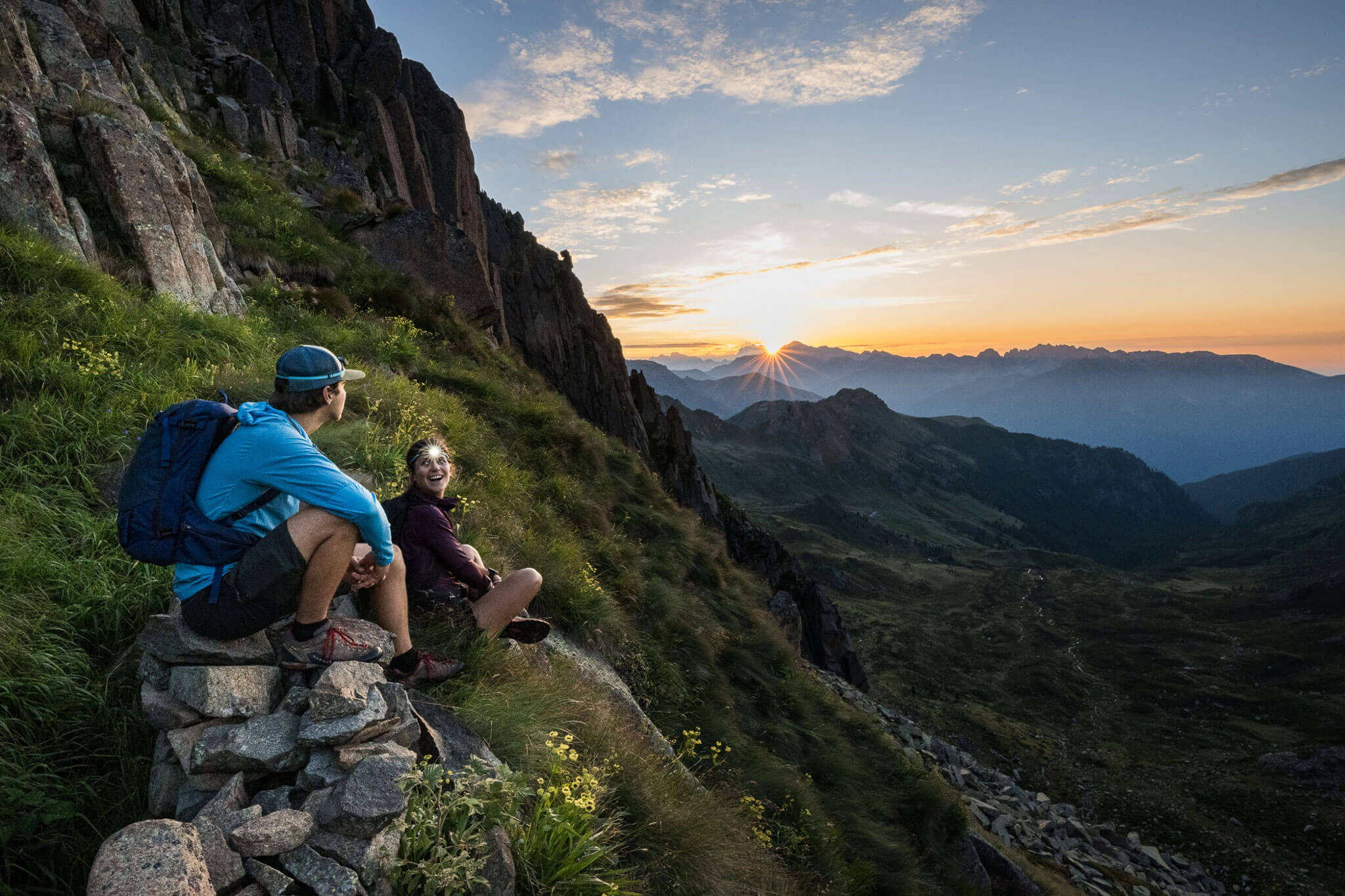
The E5 is an alpine crossing in the truest sense of the word: it traverses ridge after ridge of mountains. Day 1 of the E5, starting from Oberstdorf, is no exception; on the contrary, you cross the Allgäu Alps all the way to the Lech Valley on the very first stage.
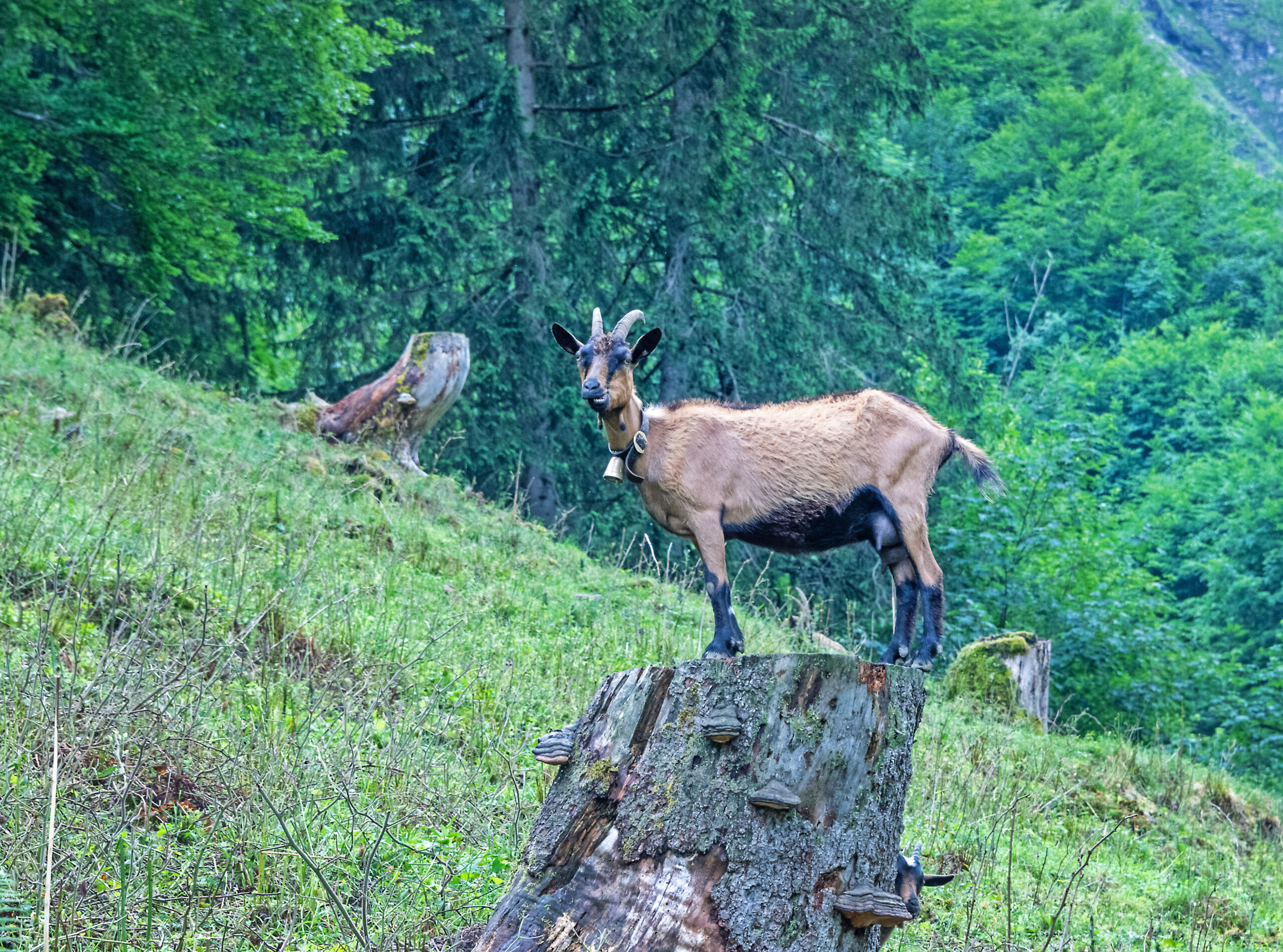
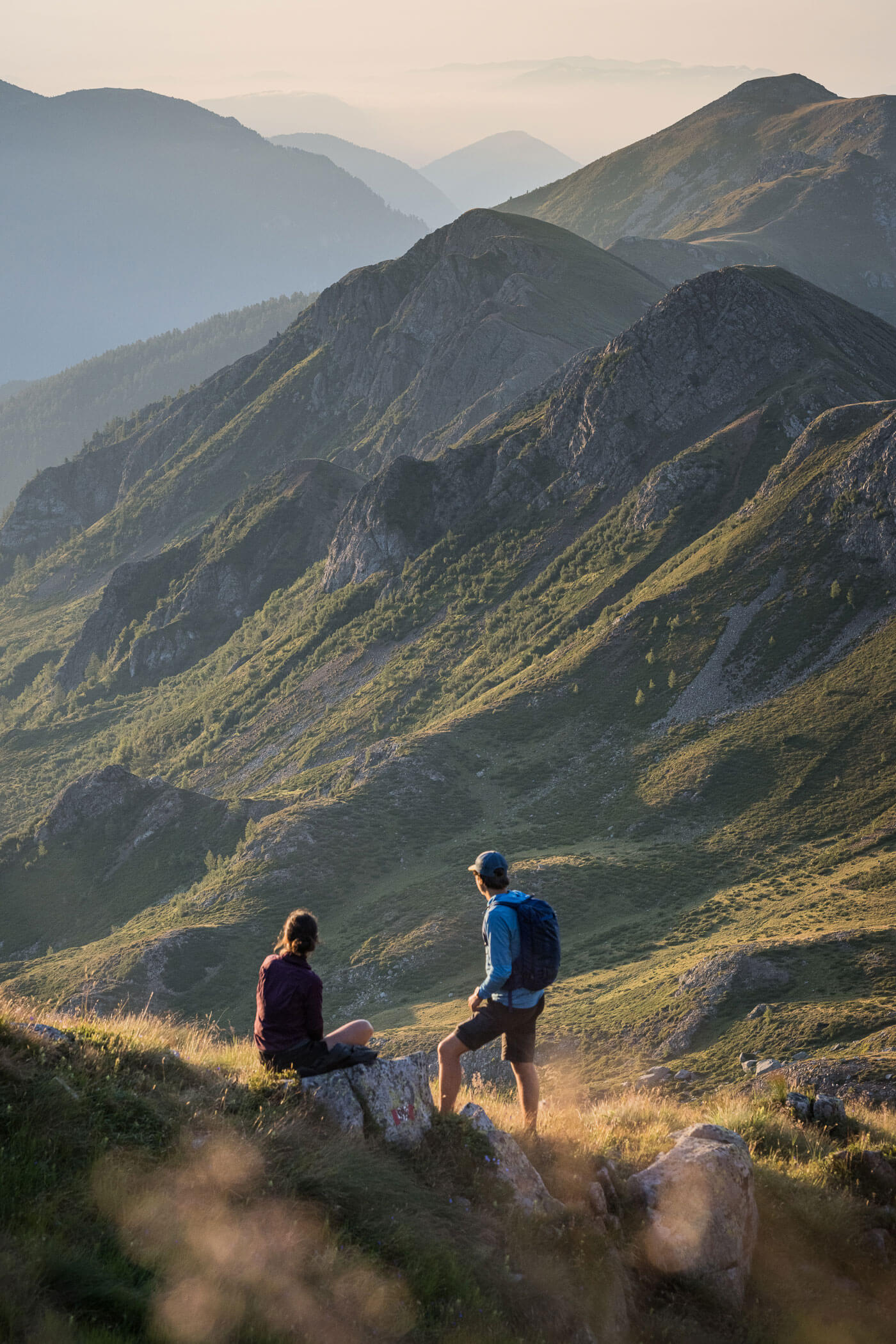
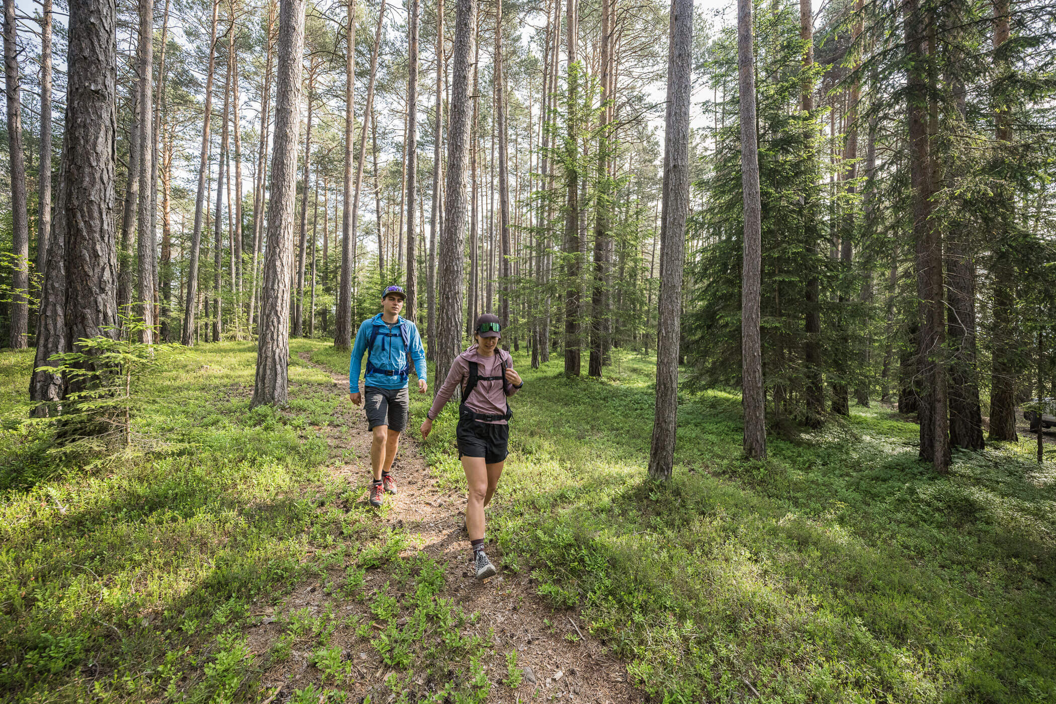
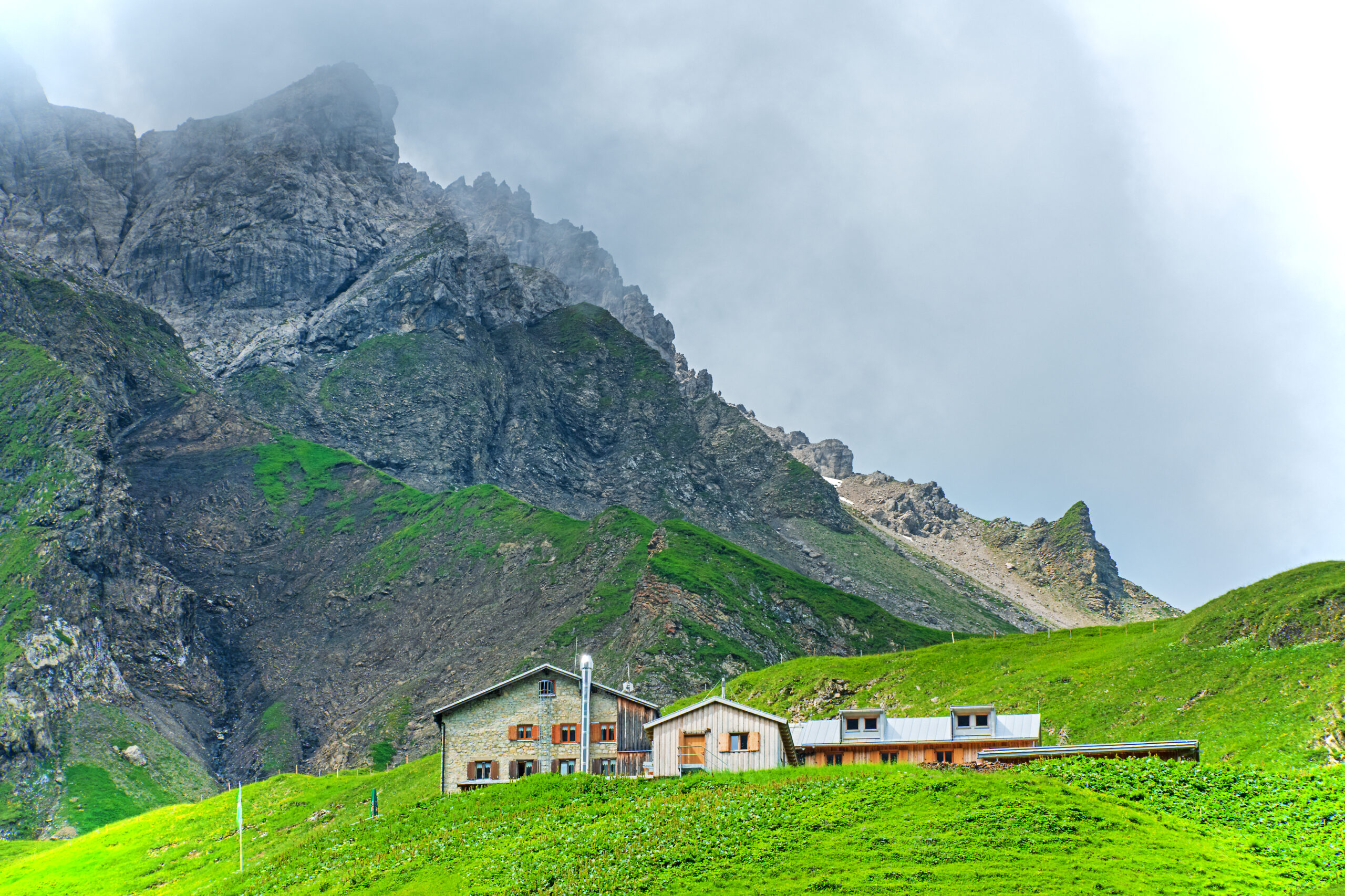
Although one made all the necessary preparations for undertaking this, the most famous Alpine crossing, it begins rather unspectacularly and without any indication in the idyllic hamlet of Spielmannsau, which can be reached by the regular bus from Oberstdorf. The ascent to the Kemptner Hut is often very steep, over a path that can sometimes be somewhat rough. Before reaching the spectacular high pastures with their unique floral display, a few exposed sections must be overcome, which are, however, secured with steel cables. A stop at the Kemptner Hut is definitely recommended before comfortably ascending to the Mädelejoch (pass) to enter the Republic of Austria. The first part of the descent through the Höhenbach Valley is once again steep, but by the time you reach the Obere Roßgumpenalm, the route becomes a comfortable track. Both the Untere Roßgumpenalm and Café Uta invite you to take a break before continuing on to Holzgau (E5 taxi, sports and grocery shops, dining options, accommodation).
Description
[Note: Up-to-date information on long-term parking in Oberstdorf can be found here. As Oberstdorf is easily accessible by train and parking is relatively expensive, arriving by train is strongly recommended.]
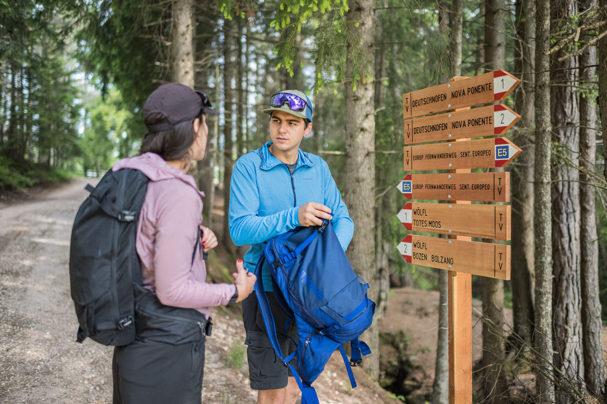
From the bus station in Oberstdorf (opposite the train station), take a minibus to the final stop in the hamlet of Spielmannsau. The ascent to the Kemptner Hütte and the E5 route is not signposted here. Follow the narrow paved road past the Sennalpe to the first junction. There, keep right (sign “Kemptner Hütte, E5”) and continue to the valley station of the material cable car. A sign points to the right. The climb up to the Kemptner Hütte is strenuous, in places quite steep, and in the final section somewhat exposed (fixed safety cables). From the hut, the onward route (signposted “Holzgau, E5”) towards the Mädelejoch is clearly visible. Ascend steadily to the pass, following the signs for Holzgau at each junction. At the Mädelejoch, you cross the border into Austria and initially descend quite steeply into the Höhenbach Valley. Shortly after the Obere Roßgumpenalpe, you reach a comfortable track. At a bend, follow the signs to the Untere Roßgumpenalpe (refreshments available). Continue descending along the gravel road to Café Uta, another place to stop.
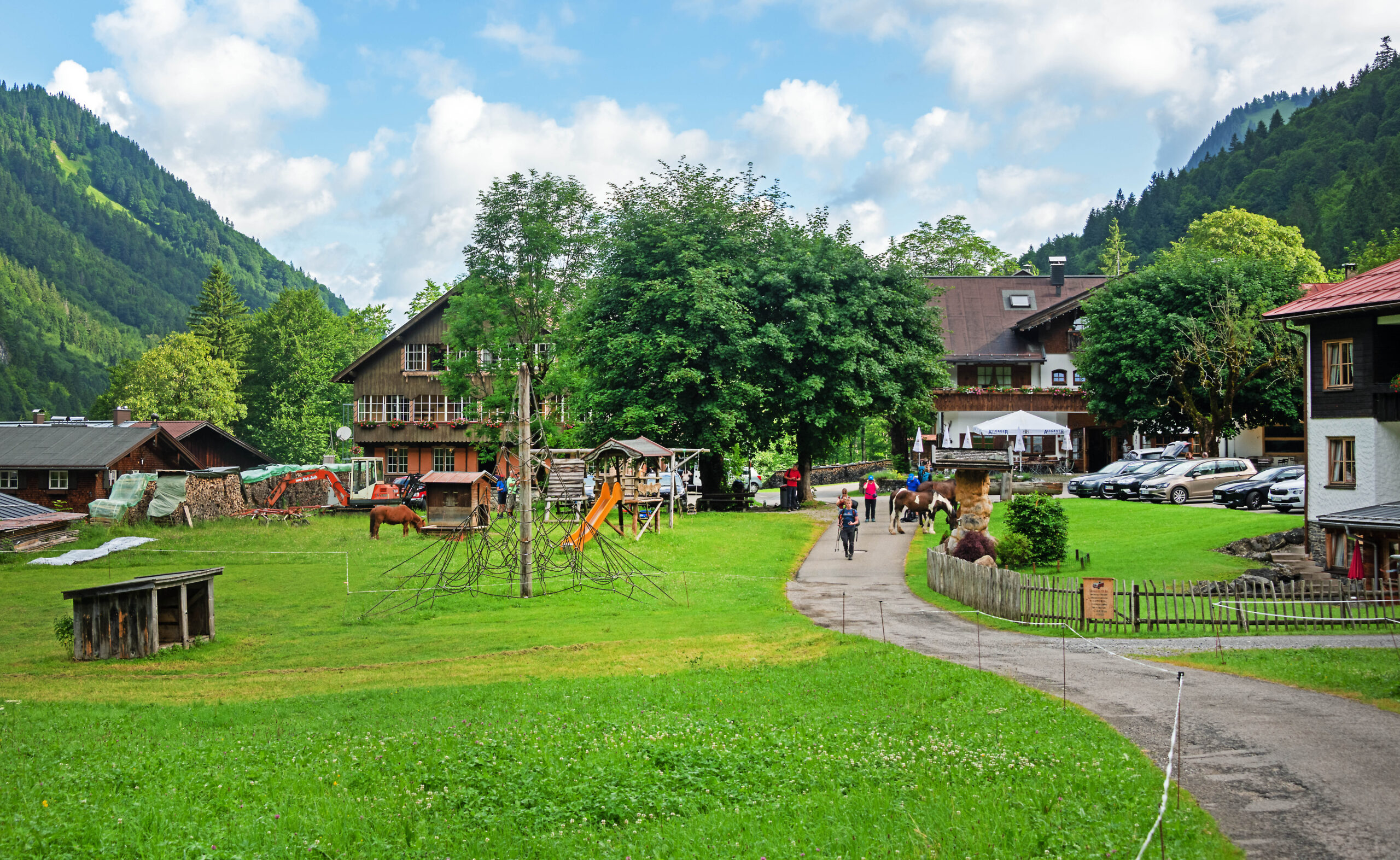
At the junction directly by the café, the forest road leads to Holzgau. Pass the Simmswasserfall waterfall and reach the village center of Holzgau in about 30 minutes. This marks the end of the stage.