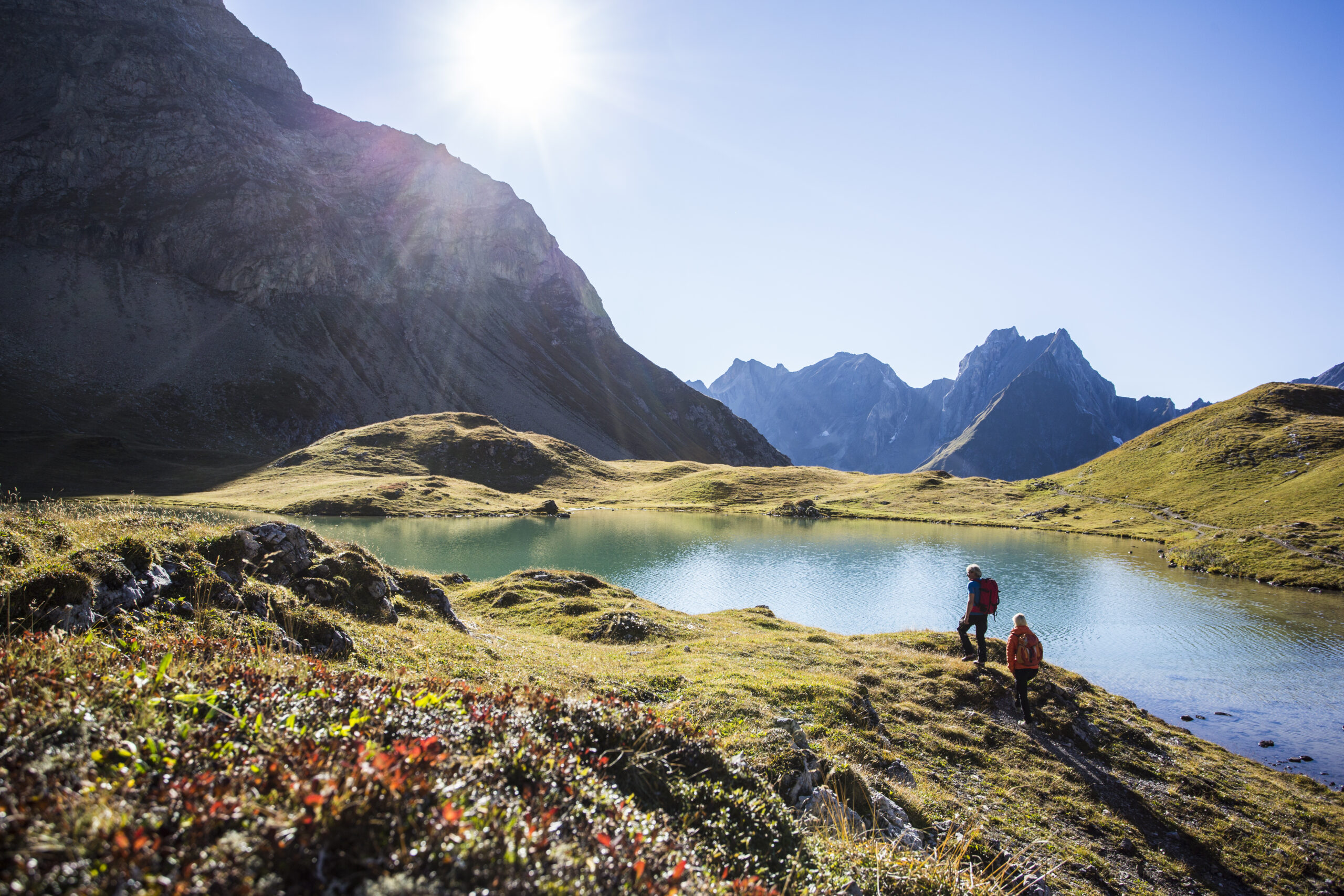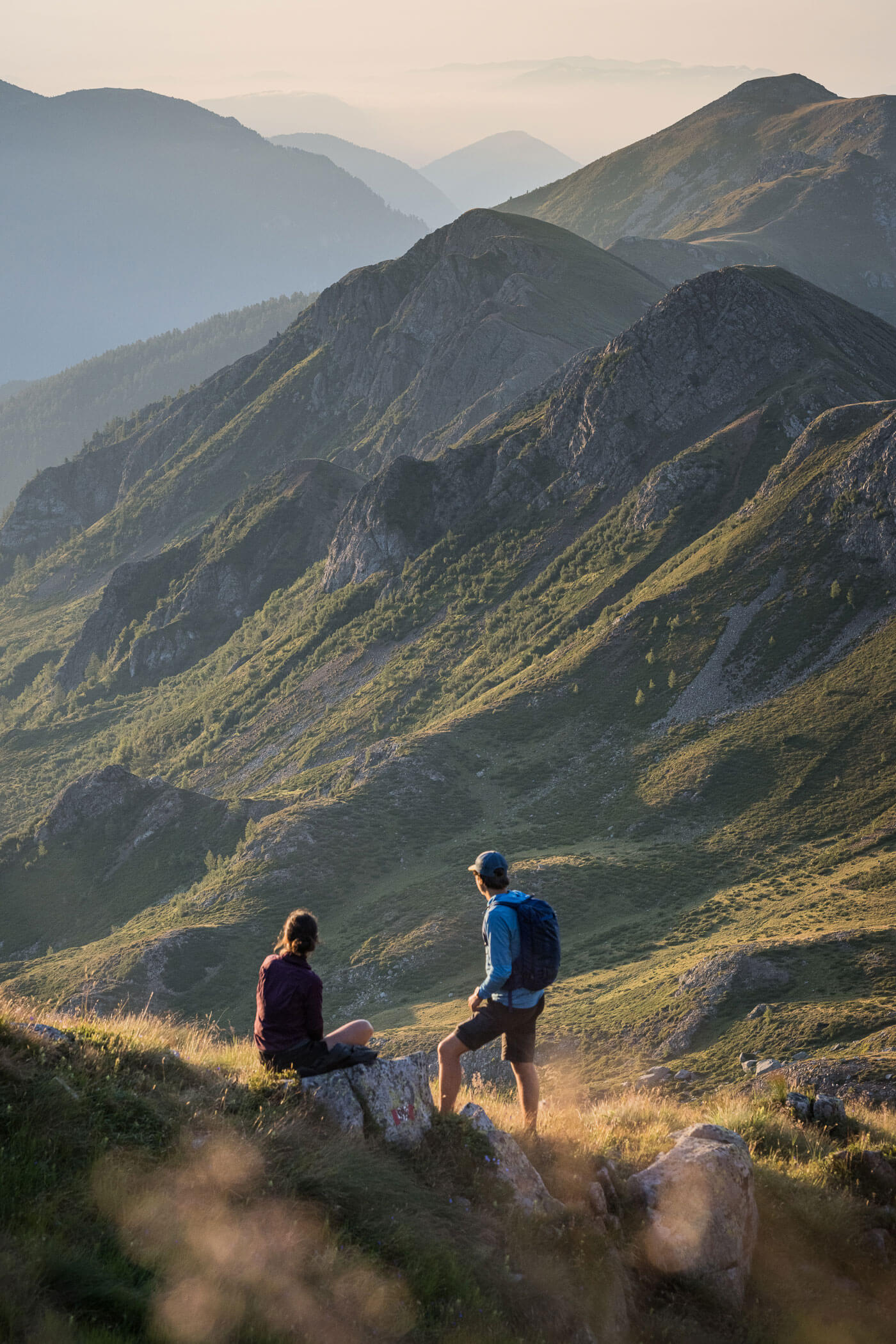
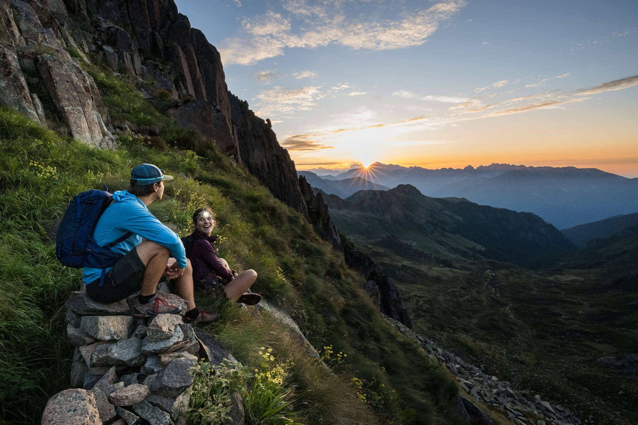
The E5 is an alpine crossing in the truest sense of the word: it traverses ridge after ridge of mountains. Day 1 of the E5, starting from Oberstdorf, is no exception; on the contrary, you cross the Allgäu Alps all the way to the Lech Valley on the very first stage.
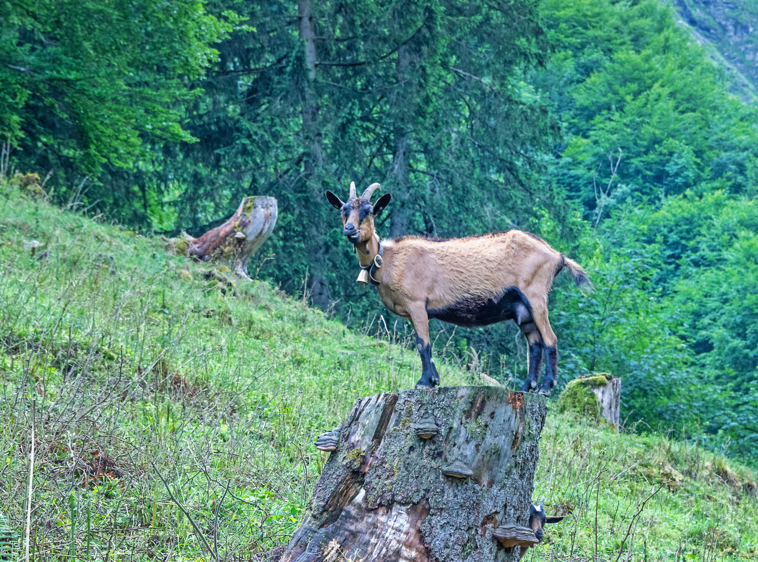
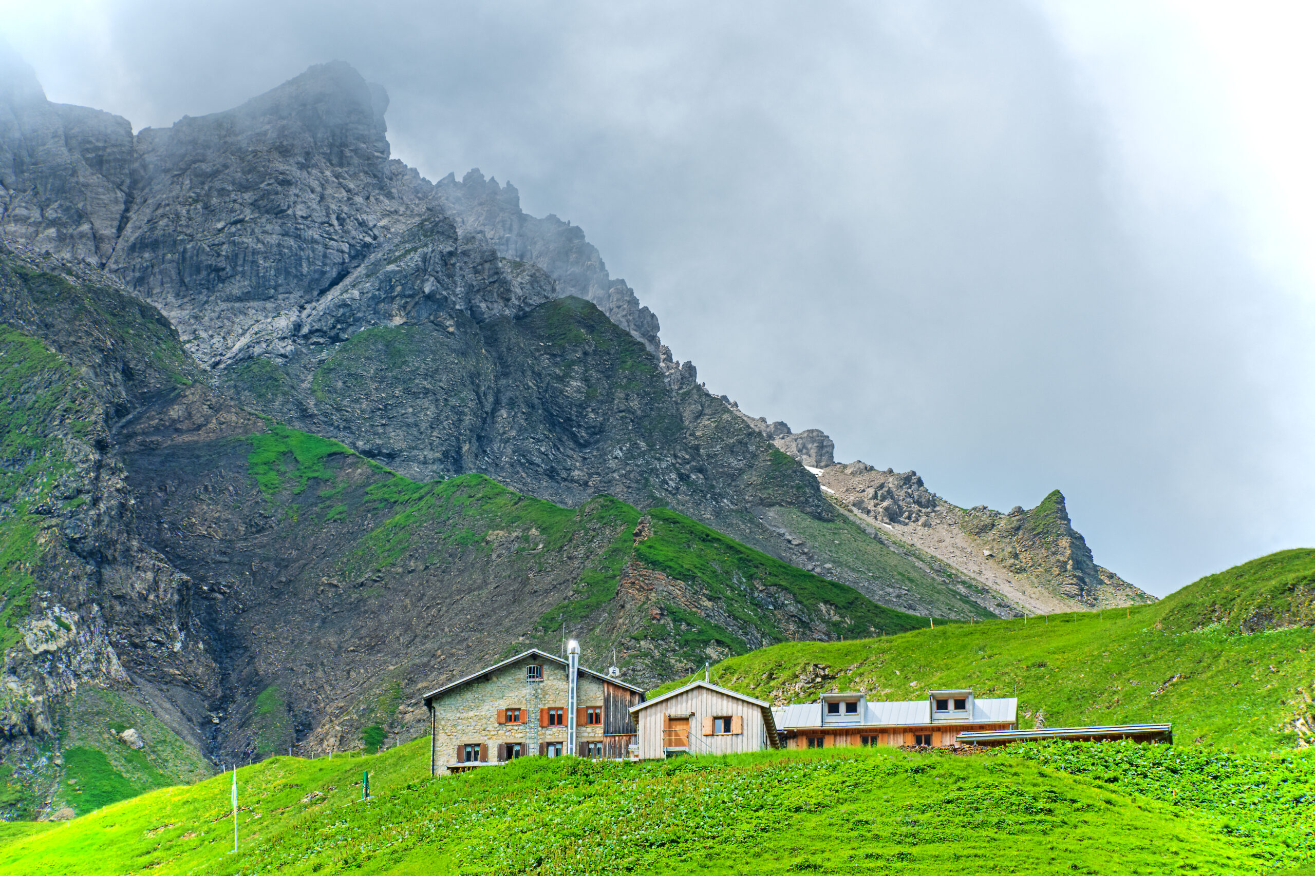
Although one made all the necessary preparations for undertaking this, the most famous Alpine crossing, it begins rather unspectacularly and without any indication in the idyllic hamlet of Spielmannsau, which can be reached by the regular bus from Oberstdorf. The ascent to the Kemptner Hut is often very steep, over a path that can sometimes be somewhat rough. Before reaching the spectacular high pastures with their unique floral display, a few exposed sections must be overcome, which are, however, secured with steel cables. A stop at the Kemptner Hut is definitely recommended before comfortably ascending to the Mädelejoch (pass) to enter the Republic of Austria. The first section of the descent through the Höhenbach Valley is steep again, but by the time one reaches the Upper Rossgumpenalm, it becomes a pleasantly walkable cart track. Both the Lower Rossgumpenalm and Café Uta invite you to make another stop before continuing along the Lech Trail and later along the Lech to Bach.
Description
Note: Current information about long-term parking in Oberstdorf can be found here. However, since Oberstdorf is very easily accessible by rail and parking is quite expensive, traveling to Oberstdorf by rail is recommended in any case.
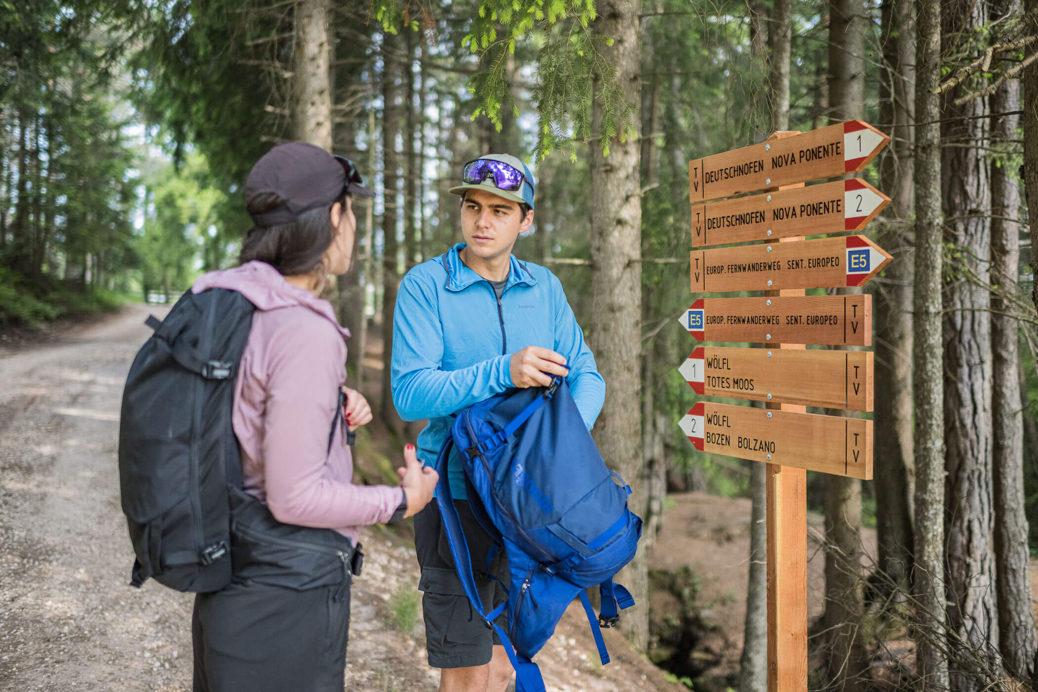
From the bus station in Oberstdorf (opposite the train station), you take a minibus to the final stop in the hamlet of Spielmannsau. The ascent to the Kemptner Hut or the E5 is not signposted there. You follow the narrow paved road and hike past the Sennalpe to the first fork in the road. There, keep right (signpost: “Kemptner Hut, E5”) and continue to the base station of the material cableway. A signpost points to the right. The climb up to the Kemptner Hut is strenuous, on some sections quite steep, and in the final part somewhat exposed (safety ropes). From the hut, you can get a very good view of the continuation of the trail (signposted “Holzgau, E5”) to the Mädelejoch (pass). You can comfortably ascend to the col and at each fork in the path, follow the signs to Holzgau. Directly at the Mädelejoch, you cross the border into Austria and initially descend quite steeply into the Höhenbach Valley. Shortly after the Upper Rossgumpenalpe, you come to an easy farm track. At a hairpin turn, follow the sign to the Lower Rossgumpenalpe (a place to stop for refreshments). You continue descending along the gravel path until you reach Café Uta, another option for refreshments.
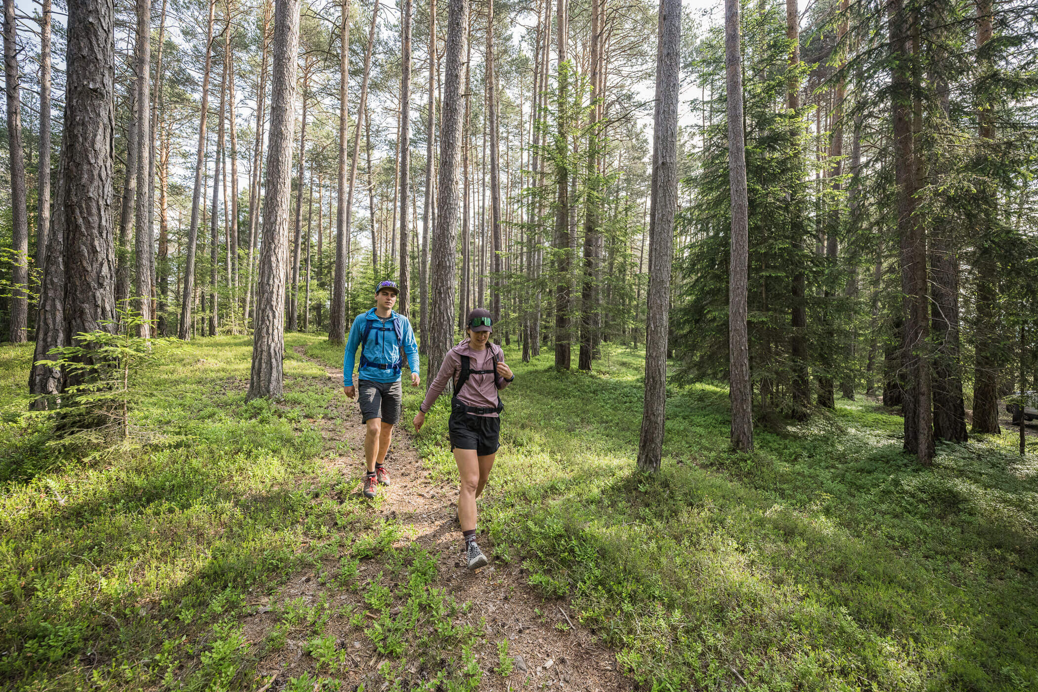
At the fork in the road directly by the café, the left hiking trail (signpost: “Lechweg”) leads up to the Schigge. You walk partly on wooden boardwalks over the scenic jewel Schigge, continuing toward the stream. Shortly after entering the forested area again, the hiking trail merges onto a forest road. Follow this in the same direction slightly downhill and cross the slope, until about 300 m after passing a ditch, the Lech Trail branches off to the right onto a hiking path. Continue following the “Lechweg” signs: go down the hiking path, then briefly uphill on a forest road, turn right toward the transmission mast after 200 m, and follow the hiking path down to the bank of the Lech.
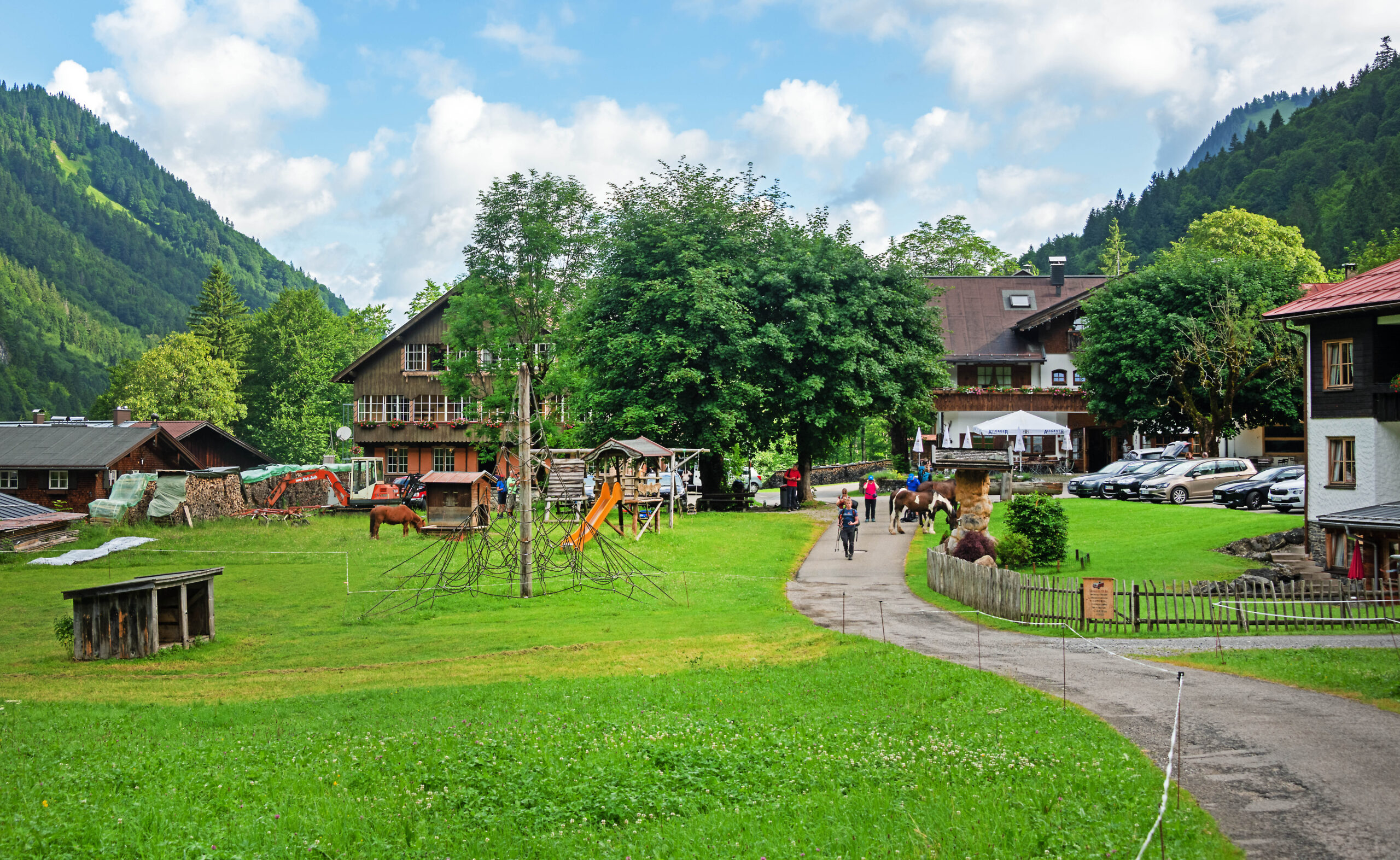
Now, before the bridge, head left directly along the Lech Trail. At the fork, leave the Lech Trail and follow the path that runs right along the bank of the Lech until it leads into the hamlet of Kraichen. In the hamlet, follow the street to the Lech riverbank, where the path runs along a levee up to the church. Here, you meet the federal road and follow it to the right across the Lech. About 100 meters past the bridge is the stop for tomorrow’s shuttle to Madau on the left side by the community center. This marks the stage destination in Bach.