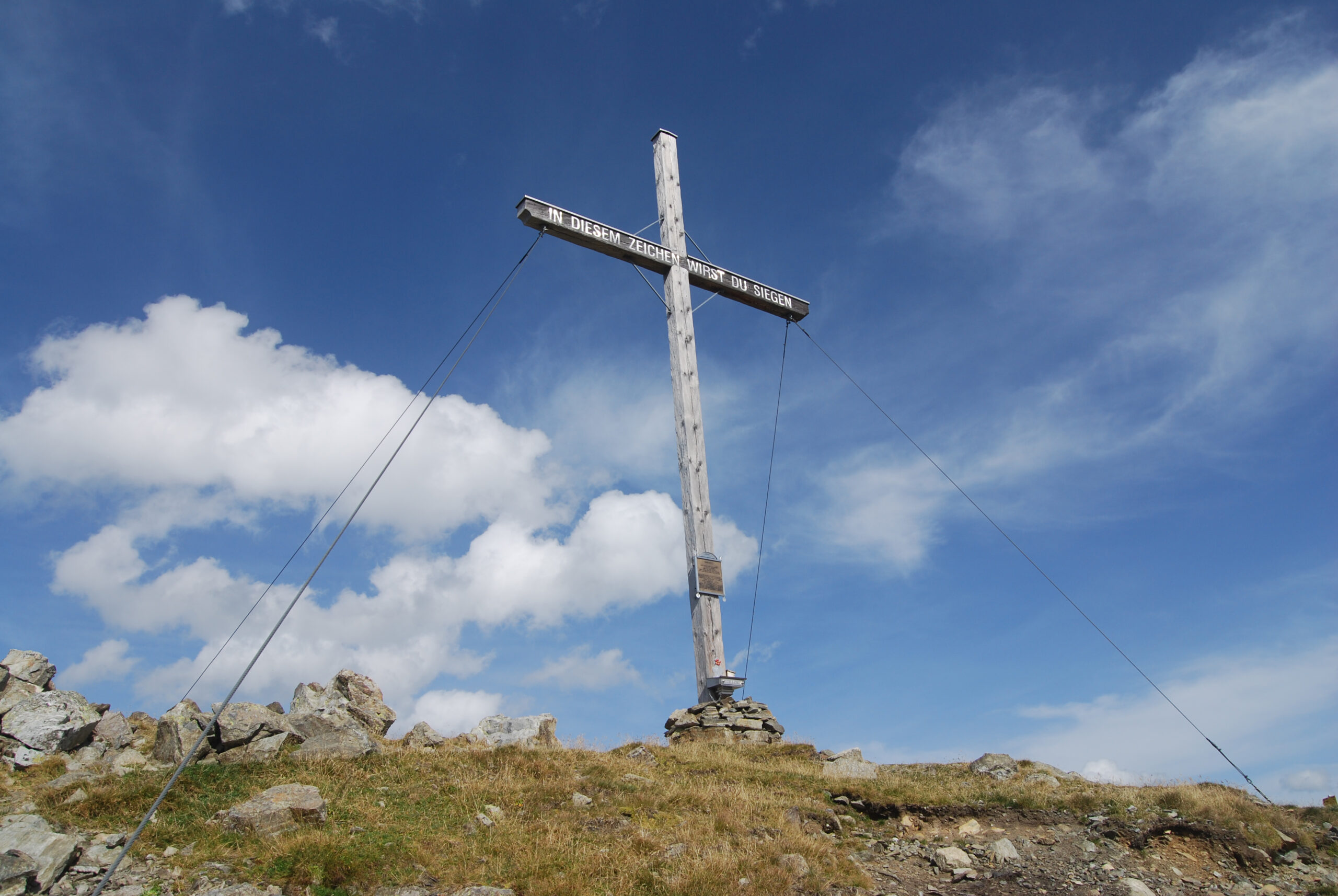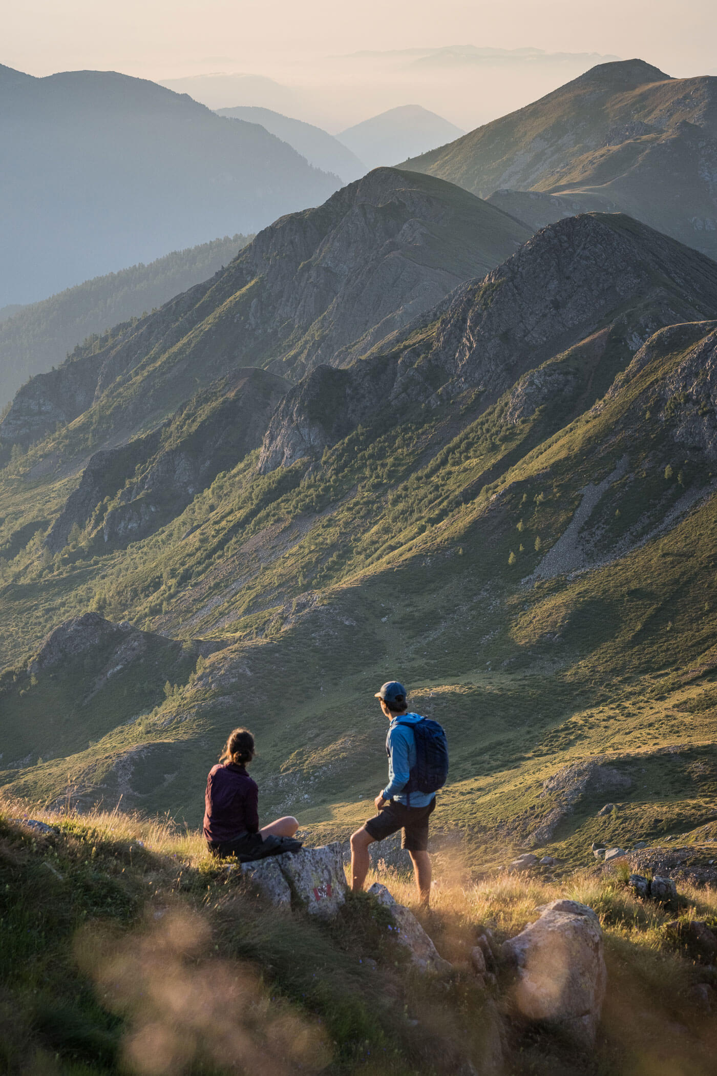
Up to almost 3,000 meters above sea level: Crossing the Ötz Valley Alps from the Pitz Valley over the Rettenbachjoch into the Ötz Valley
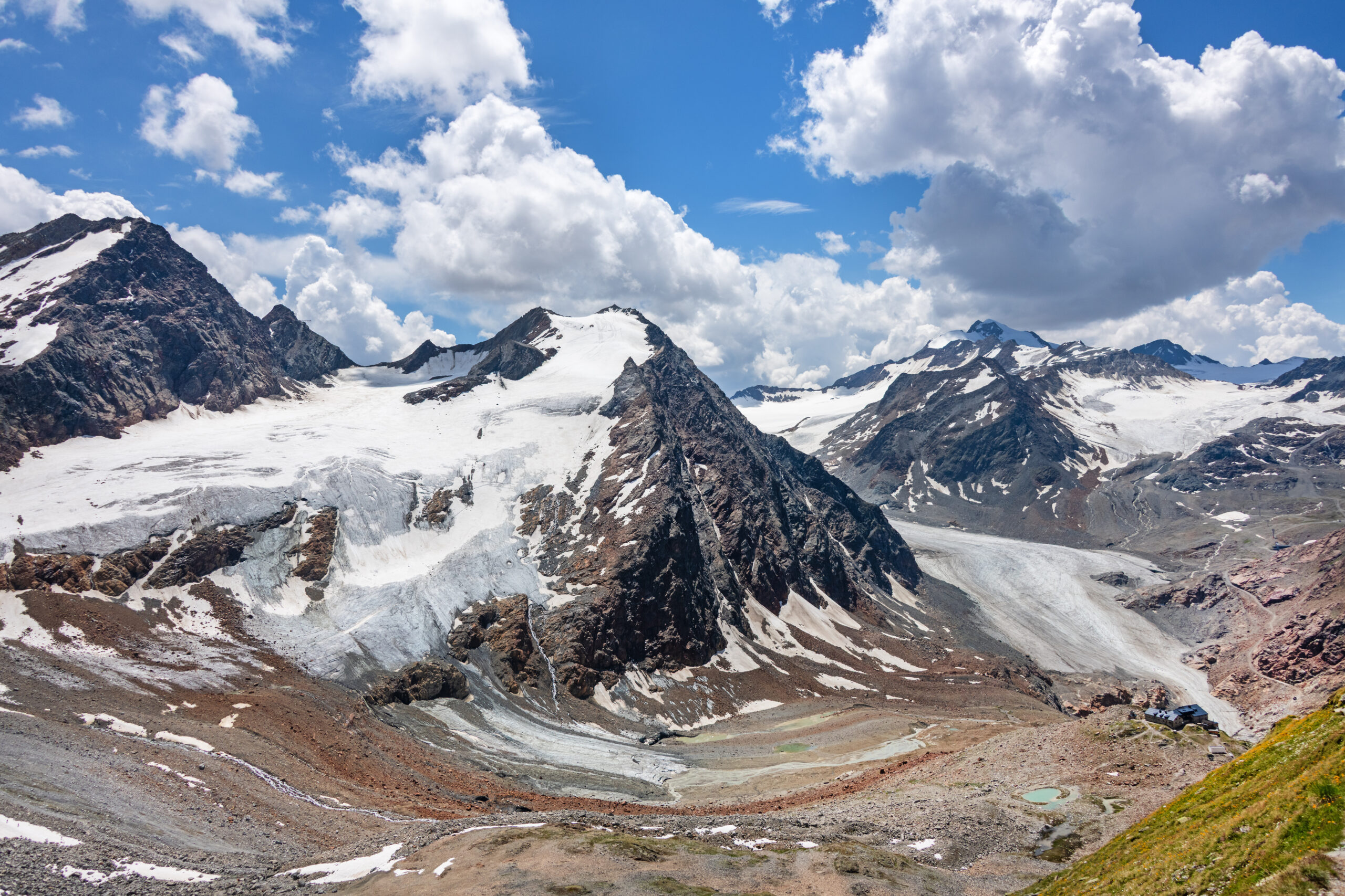
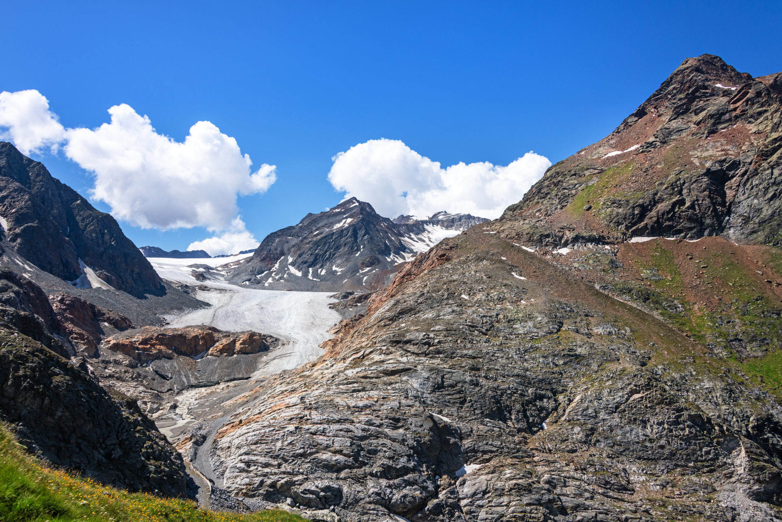
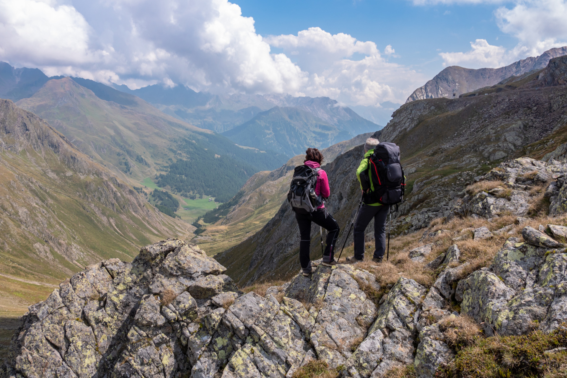
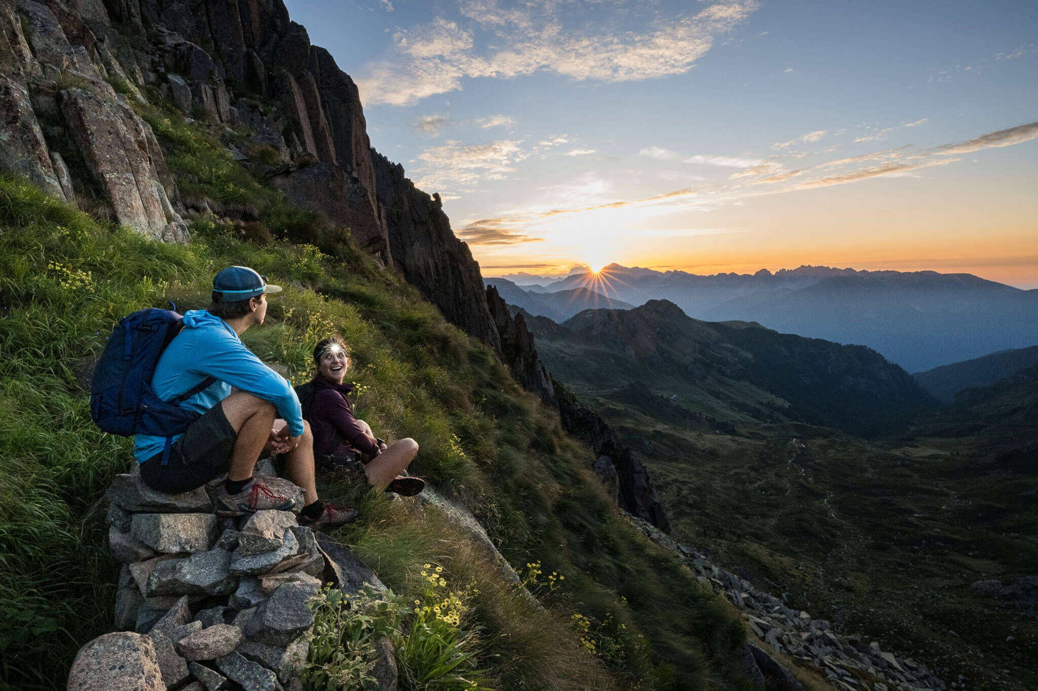
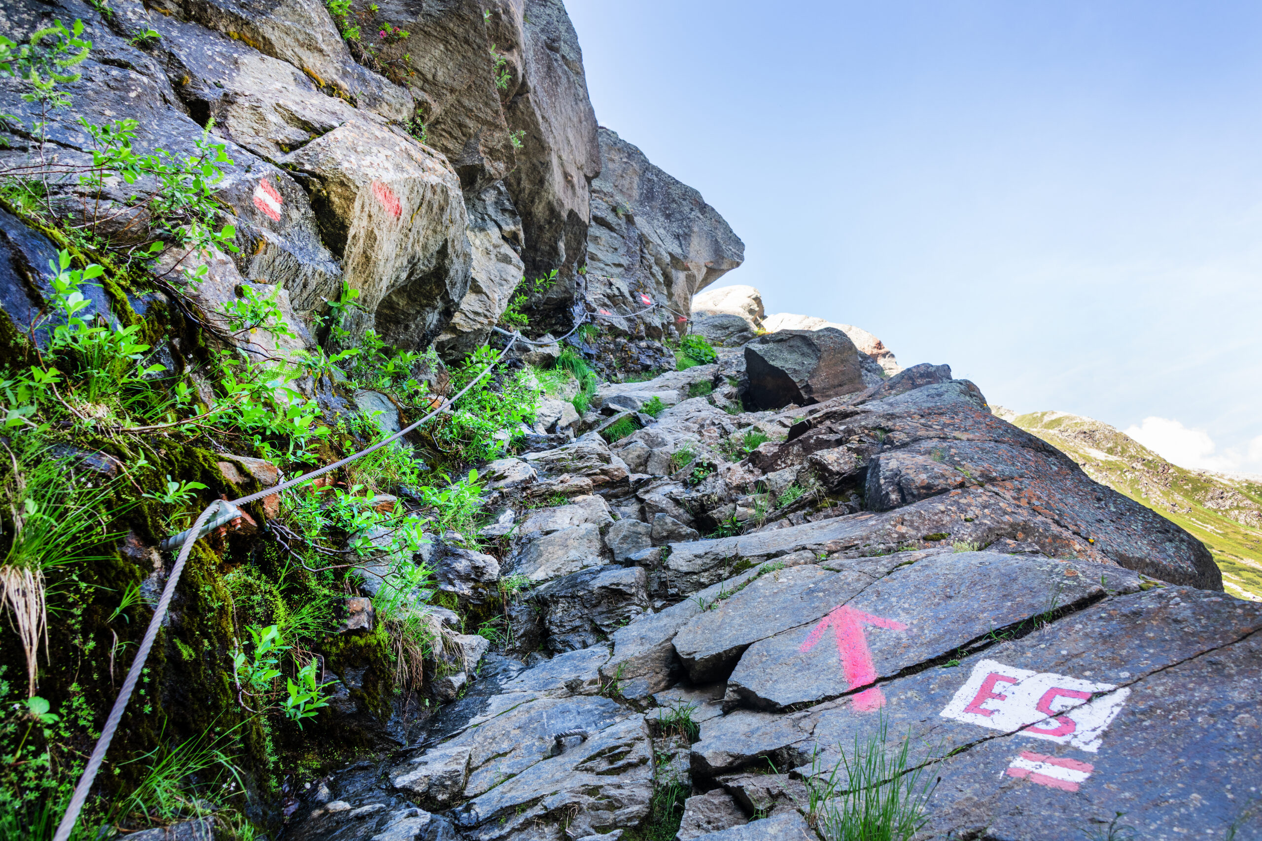
This stage features the highest point on the entire E5: the incredible 2,990-meter-high Rettenbachjoch! A real highlight, crossing the mountain ridge between the Pitz Valley and Ötz Valley right among the three-thousand-meter peaks! But be warned: the crossing is partially secured with steel cables and requires sure-footedness and no problem with heights. And just a glance at the altitude of almost 3,000 meters makes it clear that good conditions are an absolute requirement for this stage. In early summer, snowfields often persist for a long time and can bury existing steel cables beneath them. Even in midsummer, sudden weather changes and snowfall can turn an ascent into a dangerous undertaking.
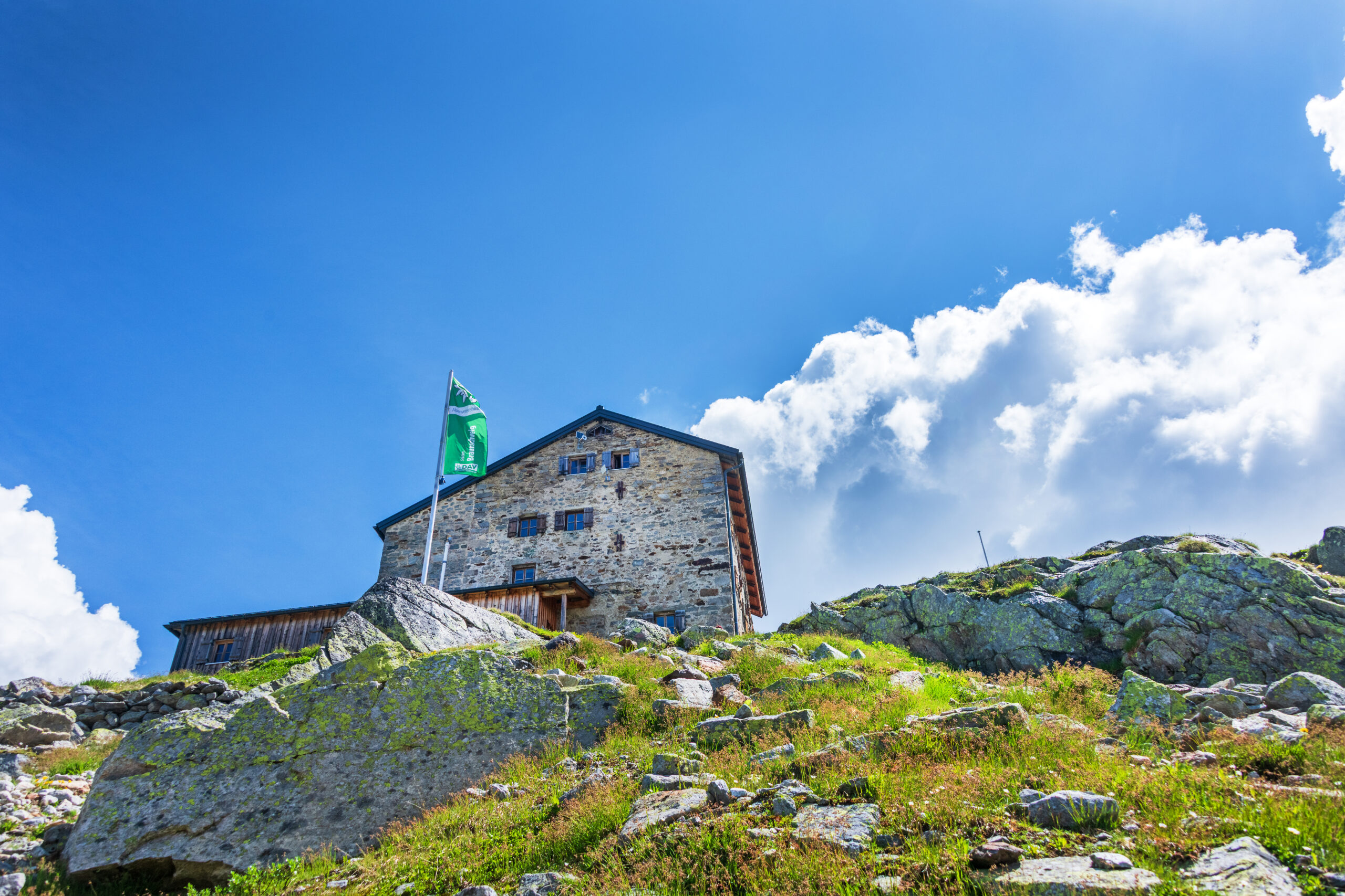
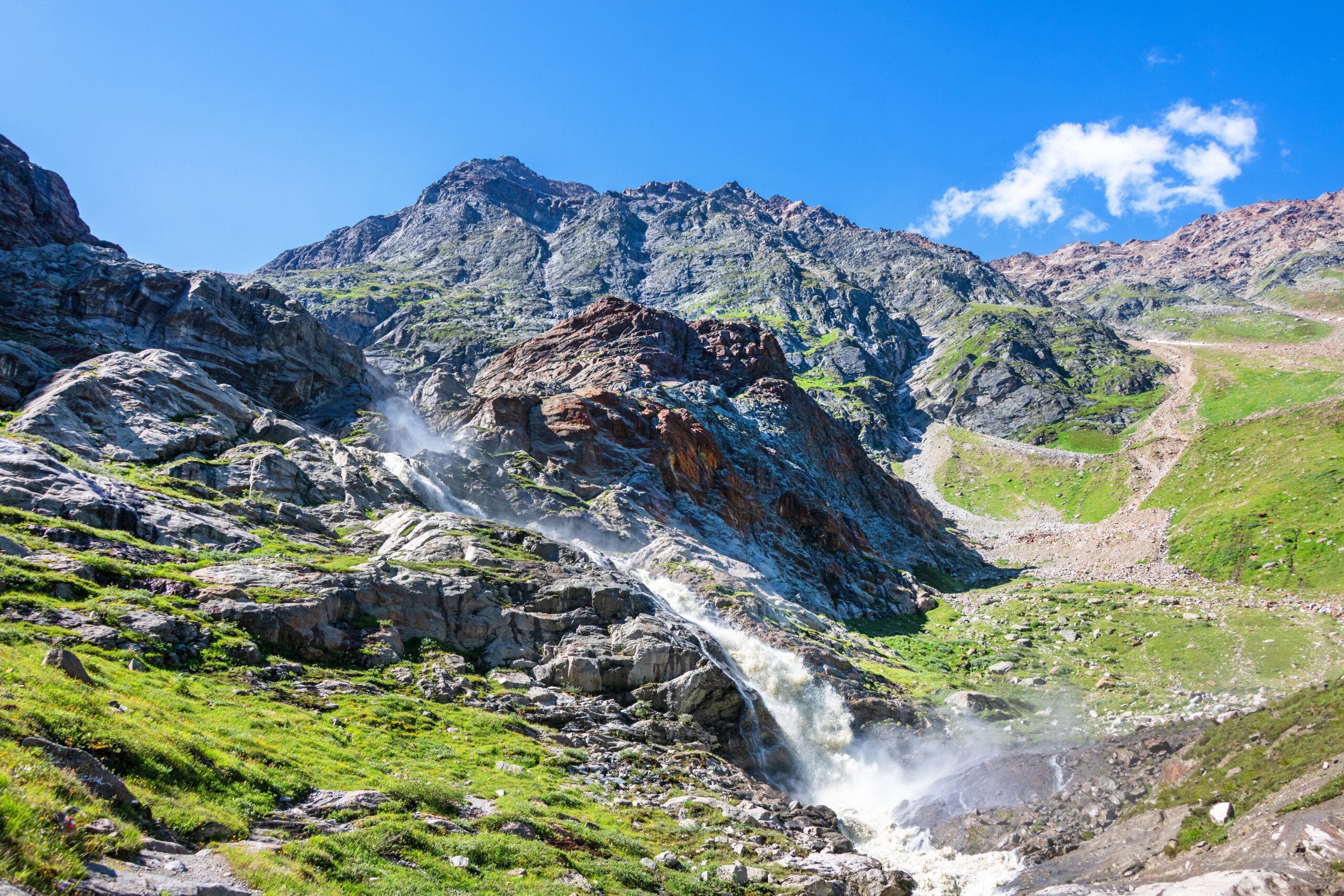
But if the circumstances and personal conditions are right, the climb from the hamlet of Mittelberg in the first section is already a small adventure. For information about the nature of the passes from the Pitz Valley into the Ötz Valley, the Braunschweiger Hut is happy to provide assistance by phone at +43 664 20 12 013. The path seeks out the weak spots in the rocky barrier that blocks the end of the valley, and along sections secured with steel cables, you walk past the roaring waterfalls of the Pitze Brook and by the climbing routes upwards, until you can take a well-deserved break at the Braunschweiger Hut. Now begins the final high-alpine ascent to the Rettenbachjoch, which is partially secured with steel cables again. The descent from the pass down to the ski resort has been newly laid out in sections and is now – once free of snow – quite easy to walk. Nevertheless, sure-footedness is a must here as well! Alternatively, one can use the Pitz Valley Jöchl (which is just as high) as a transition between Braunschweiger Hut and Rettenbach Ski Resort. This route is also very popular as an E5 variant, but unlike the Rettenbachjoch (red mountain trail), it is a more difficult (black) mountain trail.
Description
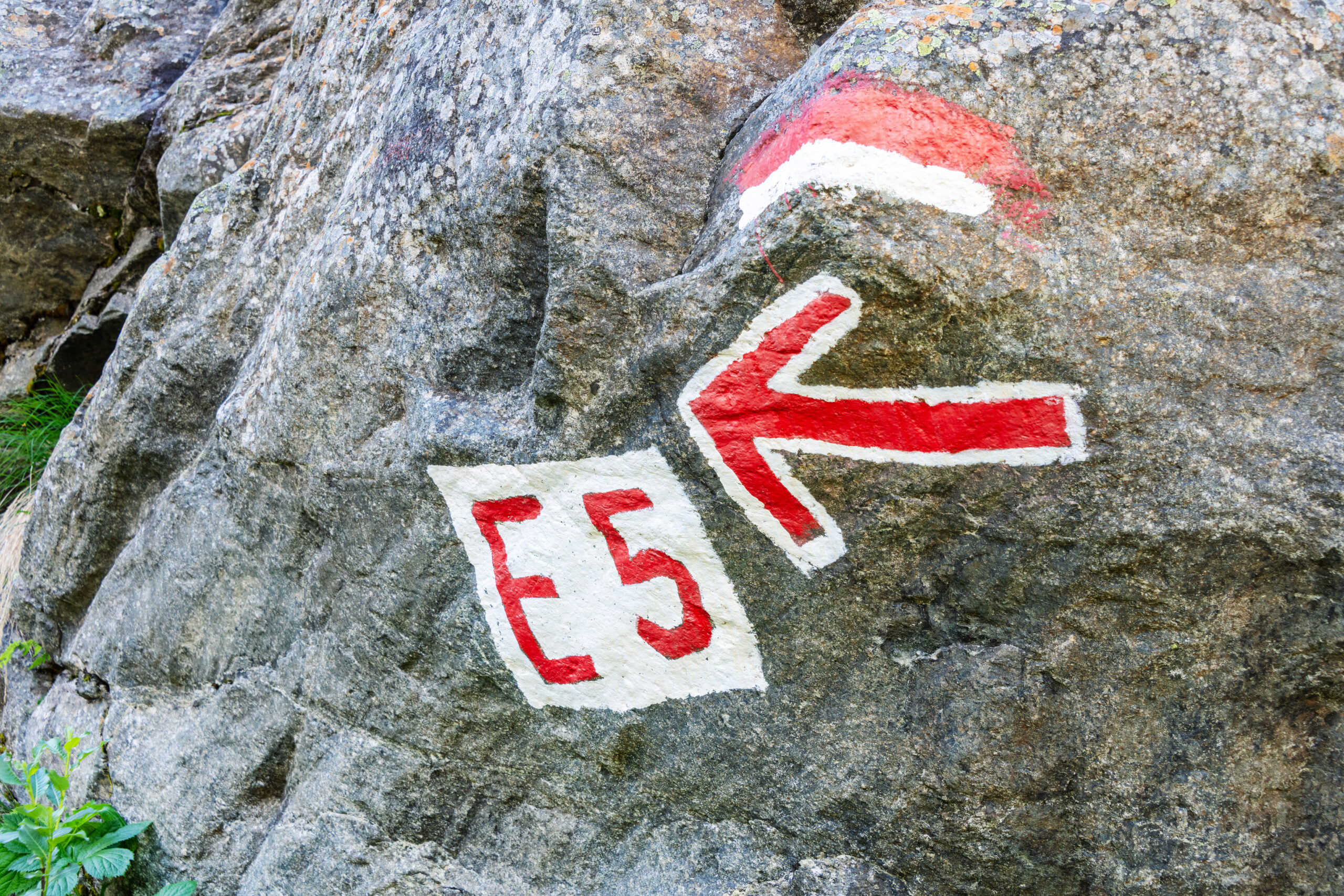
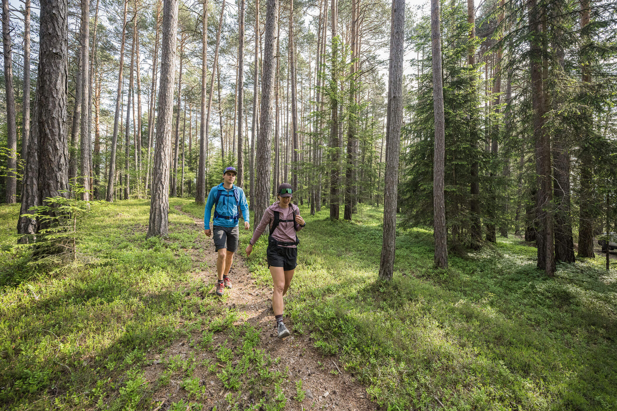
From the only bus stop in Mittelberg, you hike up the gravel road to the nearby guesthouse “Gletscherstube” (signpost: E5). Soon the path branches off, and you continue straight towards the waterfall and rock ridge (signage: “Braunschweiger Hütte über Wasserfall”). The route through the rock ridge is well marked, technically easy to walk, and secured with steel cables in some sections.
After the rock ridge, it joins the ski slope, which you follow to the next fork in the path. This is also signposted. You continue to the left. In part, the ascent to the Braunschweiger Hut is quite steep and, in other sections, secured with steel cables. From there, you have a good view of the onward path up to the Rettenbachjoch, which is signposted and begins directly behind the hut (straight ahead towards Rettenbachjoch, while the path to the Pitz Valley Jöchl branches off to the left). The descent from the pass has become easier in the upper section due to the glacier’s retreat. It has been newly rerouted and now leads more or less straight down under the cable car. Under poor conditions (e.g., snow in early summer), special caution is advised here, but from the end of July, it is also possible to descend comfortably by cable car.
At the Rettenbach Ski Resort, it is best to transfer to bus line 70 (signposted: “Gletscher Sölden”) here, which runs hourly to Sölden. Otherwise, continue to the nearby Sölden “Bergsteigerkapelle” (Mountaineers’ Chapel) and descend via the signposted original E5 route to the toll station (bus line stop) and take bus 70 to Sölden from there.